
Beginner Off-Road Trails
Near Hartleton, Pennsylvania
Explore All Beginner Trails Near Hartleton, Pennsylvania
Beginner Off-Road Trails Near Hartleton, Pennsylvania
Discover the best beginner-friendly off-road trails near you. These easier, lower-rated trails are a great place to start — browse trail maps, check difficulty ratings, and find your next adventure.
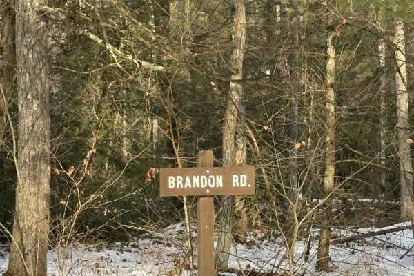
Brandon Road
Brandon Road is a primarily graded gravel road with a few sections of graded dirt. It is an easy ride in the summer months, however, there is no winter maintenance. During times of rain, snow, and ice, the road will become harder to travel on. Brandon Road is within Bald Eagle State Forest.
Learn more about Brandon Road
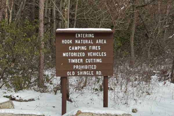
Old Shingle Road
Old Shingle Road is a graded gravel road. It is an easy ride in the summer months, however, there is no winter maintenance. During times of rain, snow, and ice the road will become harder to travel on. Old Shingle Road is within Bald Eagle State Forest. The Molasses Scenic Overlook is accessed via O...
Learn more about Old Shingle Road
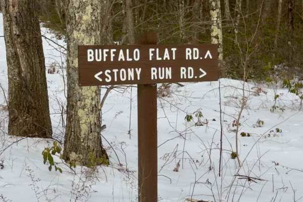
Buffalo Flat Road
Buffalo Flat Road is a graded gravel road. It is an easy ride in the summer months, however there is no winter maintenance. During times of rain, snow, and ice the road will become harder to travel on. Round Top Road is within Bald Eagle State Forest. Hobo Vista is located along this road.
Learn more about Buffalo Flat Road
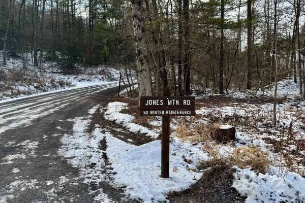
Jones Mountain Road
Jones Mountain Road is a graded gravel road. It is an easy ride in the summer months, however, there is no winter maintenance. During times of rain, snow, and ice, the road will become harder to travel on. Jones Mountain Road is within Bald Eagle State Forest. The Jones Mountain Road Vista is along ...
Learn more about Jones Mountain Road
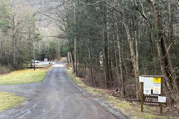
Bear Run Road
Bear Run Road is a relatively flat, wide and smooth graded gravel road in Bald Eagle State Forest. It connects Route 45 to Woodward Gap Road. There is one camp site (021 Bear Run) along the road. Bear Run (creek) follows the road with numerous access points and a few areas to pull off and park. The ...
Learn more about Bear Run Road
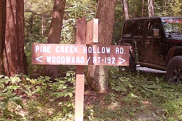
Pine Creek Hollow Road
This trail is located in the Bald Eagle State Forest and is an in-and-out trail that is graded gravel. There are seven hiking trails to note: Lipko Trail, Frederick Trail, Yankee Run Trail, Braucher Path, Douty Mill Trail, Dug Trail, and Barner Gap Trail. This is an easy drivable trail during the Wa...
Learn more about Pine Creek Hollow Road
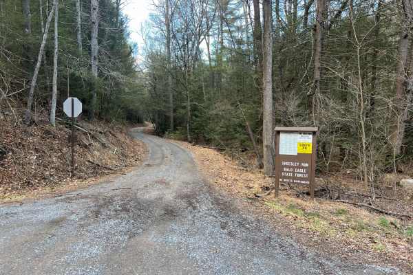
Sheesley Run Road
Sheesley Run Road is a relatively flat, wide, and smooth graded gravel road in Bald Eagle State Forest. It connects Route 45 to the intersection of Stony Run Road and Buffalo Flat Road. There are a number of narrow areas and tight turns along the road. Named for the creek it follows, Sheesley Run ca...
Learn more about Sheesley Run Road
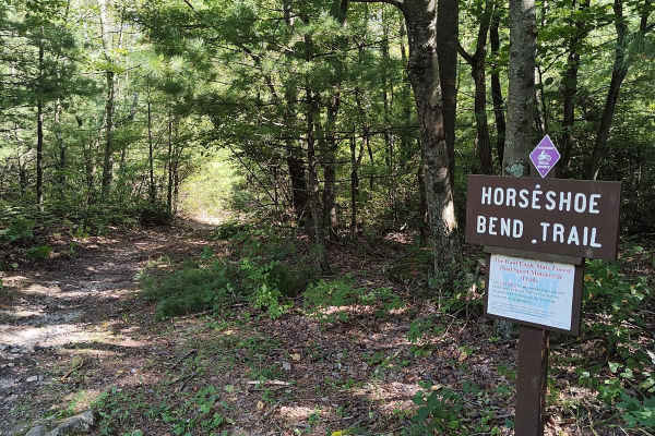
Horseshoe Bend Trail
Horseshoe Bend trail is another short but fun single-track trail. Starting from Hunter Road. It is very easy and relatively flat terrain, about halfway there's a section of rocky descent, which gets a little more difficult as you continue to descend out onto the main road. Try your skill by turning ...
Learn more about Horseshoe Bend Trail
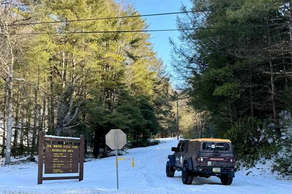
Boyer Gap Road
Boyer Gap Road is primarily a graded gravel road. It is an easy ride in the summer months; however, there is no winter maintenance. During times of rain, snow, and ice, the road can become rutted and harder to travel on. Boyer Gap Road is within Bald Eagle State Forest. There are numerous spots to s...
Learn more about Boyer Gap Road
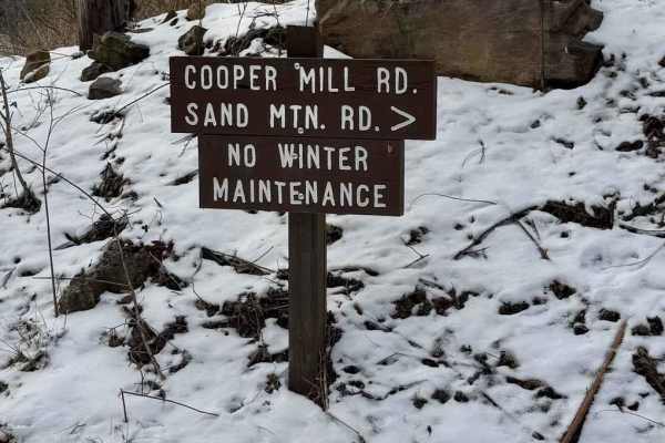
Cooper Mill Road
Cooper Mill Road is a graded gravel road. It is an easy ride in the summer months, however, there is no winter maintenance. During times of rain, snow, and ice the road will become harder to travel on. Cooper Mill Road is within Bald Eagle State Forest. The Mountain Overlook is along Cooper Mill Roa...
Learn more about Cooper Mill Road
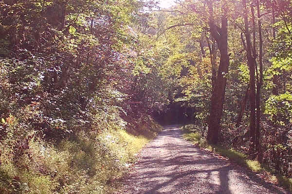
Breininger Gap Road
This trail is an in-and-out trail located in the Bald Eagle State Forest. It is a graded gravel road. There is one hiking trail Horseshoe Bend Trail. Enter this trail from Hunter Road. Easy Access and drivability during the warm months. There is no Winter Maintenance, so it may be more difficult dur...
Learn more about Breininger Gap Road
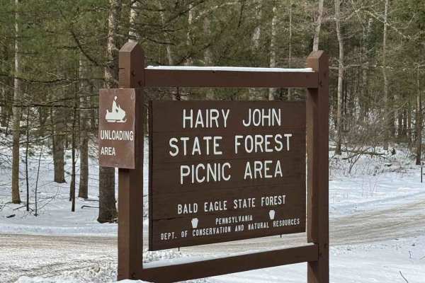
Winklebleck Road
Winklebleck Road is a graded gravel road. It is an easy ride in the summer months, however there is no winter maintenance. During times of rain, snow, and ice the road will become harder to travel on. Winklebleck Road is within Bald Eagle State Forest. Hairy John State Forest Picnic Area is on this ...
Learn more about Winklebleck Road
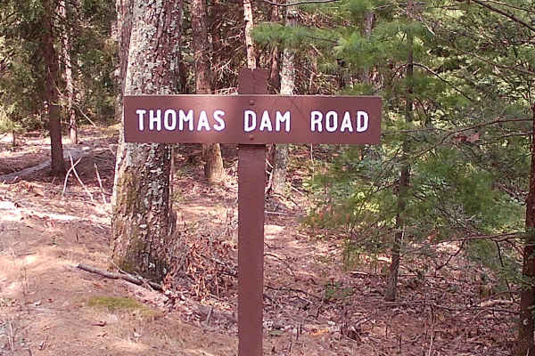
Thomas Dam Road
This is an in-and-out trail that is a graded gravel road within the Bald Eagle State Forest. There are no hiking trails on this road; there is a bridge with a small flowing brook. This trail is easily drivable during warm months, but will be more difficult during winter due to ice and snow.
Learn more about Thomas Dam Road
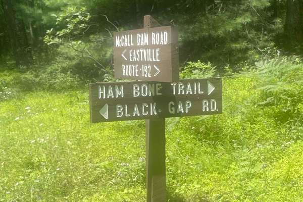
Black Gap Road
Black Gap Road is a graded gravel and dirt road. It is an easy ride in the summer months, however there is no winter maintenance. During times of rain, snow, and ice the road will become harder to travel on. Black Gap Road is within Bald Eagle State Forest.
Learn more about Black Gap Road
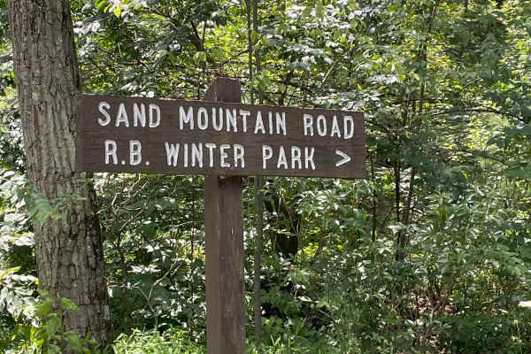
Sand Mountain Road
Sand Mountain Road is in Bald Eagle State Forest and is a graded gravel road. Several hiking trails branch off this road, and there is the Halfway Run Natural Area, with camping options available not far from the road. The road is easily drivable in Summer, Fall, and Spring; however, due to no winte...
Learn more about Sand Mountain Road
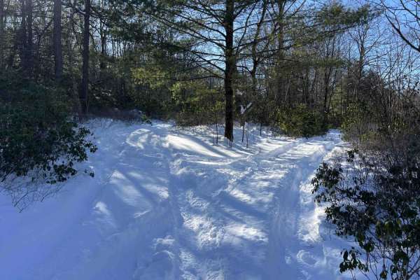
Shriner Mountain West Road
A fun and scenic seasonal hunting access road, generally open Late September to early February. The trail surface is mostly rocky dirt with some ruts. Mud is likely in warmer, wet weather, and this trail is not maintained at all during winter. There is a fork about 2/3 of the way in, with large turn...
Learn more about Shriner Mountain West Road
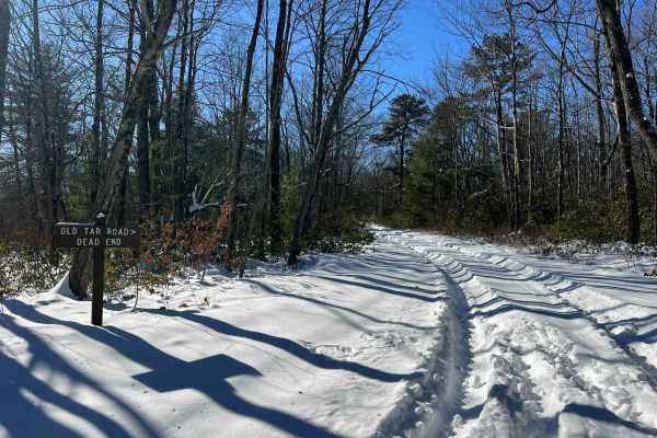
Old Tar Road
A beautiful wooded trail along the Shriner Mountain ridge. The trail is mostly rocky, becoming slightly rougher as you go. Enjoy the solitude of this out-and-back adventure through dense evergreen growth, clearings, and some possible mud. There is a large turnaround area at the end, which is also a ...
Learn more about Old Tar Road
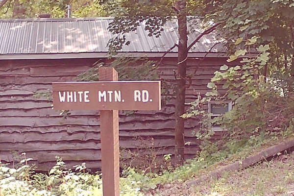
White Mountain Road
This trail is an in-and-out on Graded Gravel within the Bald Eagle State Forest. There is an area called Chimney Rock Trailhead and Parking, also a nice flowing brook under a bridge. This trail is easily drivable during warm summer months, but more difficult in winter with snow and ice.
Learn more about White Mountain Road
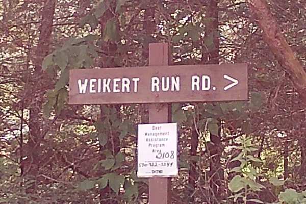
Weikert Run Road
This trail is a longer trail and is graded gravel; it is an in-and-out type of trail. The second half of this trail, coming in from the mountain top, has some tighter shelf road that is easily drivable in Summer, Spring, and fall. There is one hiking trail called the white mountain ridge trail. Ther...
Learn more about Weikert Run Road
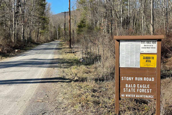
Stony Run Road
Stony Run Road is a Maintained dirt/gravel road that is easily navigated by just about any vehicle. There is no winter maintenance in the forest, however. There can be some washboard sections. It is a scenic road with streams and areas of evergreens to keep that lush forest look even in the winter....
Learn more about Stony Run Road
Beginner ATV trails near Hartleton, Pennsylvania
Explore ATV-friendly trails near you. These trails are accessible for vehicles up to 50 inches wide, perfect for ATVs and smaller off-road machines.
150A
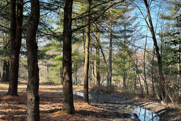
150 is also known as the Heart Lake area and the trails that lead to the lake. Part of this is an open field area, but closer to the lake area, it becomes more of a dense pine tree area. There are puddles and washouts along the way.
Learn more about 150A
ATV Trail 43
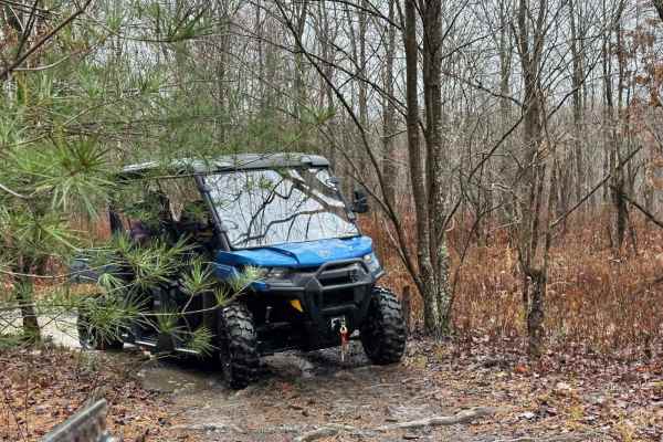
This ATV trail is a narrow path with dense, small pine trees. The sturdy pine branches may hit your machine, as they are not easily breakable. Your machine and body will push through the branches. Following the pine section, you'll encounter two exit options. There's a level exit heading north, and ...
Learn more about ATV Trail 43
151A
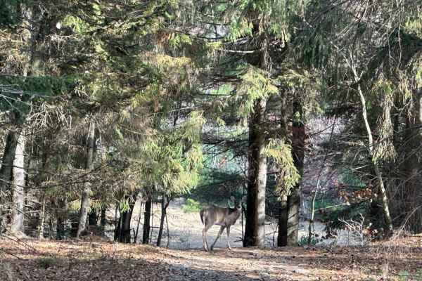
151 is a loop with a few spur trails off it. It is an area with little difficulty but nice to spend time looping around or cutting through to another trail. It has an open area, a pine tree section, and a powerline area.
Learn more about 151A
ATV Trail 41
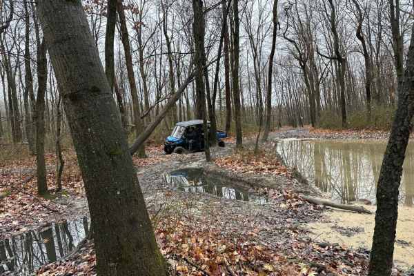
These ATV trails are behind and beside Dead Lake, which means they will be wet and muddy. They will also have rocks and logs exposed in the trail to work around. Be careful as these trails may not be easy to follow as the terrain changes with wear and weather.
Learn more about ATV Trail 41
Beginner UTV/side-by-side trails near Hartleton, Pennsylvania
Find UTV and side-by-side trails near you. These trails accommodate vehicles up to 60 inches wide, ideal for UTVs, side-by-sides, and wider off-road rigs.
150A
150 is also known as the Heart Lake area and the trails that lead to the lake. Part of this is an open field area, but closer to the lake area, it becomes more of a dense pine tree area. There are puddles and washouts along the way.
Learn more about 150A
ATV Trail 43
This ATV trail is a narrow path with dense, small pine trees. The sturdy pine branches may hit your machine, as they are not easily breakable. Your machine and body will push through the branches. Following the pine section, you'll encounter two exit options. There's a level exit heading north, and ...
Learn more about ATV Trail 43
151A
151 is a loop with a few spur trails off it. It is an area with little difficulty but nice to spend time looping around or cutting through to another trail. It has an open area, a pine tree section, and a powerline area.
Learn more about 151A
ATV Trail 41
These ATV trails are behind and beside Dead Lake, which means they will be wet and muddy. They will also have rocks and logs exposed in the trail to work around. Be careful as these trails may not be easy to follow as the terrain changes with wear and weather.
Learn more about ATV Trail 41
The onX Offroad Difference
onX Offroad combines trail photos, descriptions, difficulty ratings, width restrictions, seasonality, and more in a user-friendly interface. Available on all devices, with offline access and full compatibility with CarPlay and Android Auto. Discover what you're missing today!
Open Trail Map