
Beginner Off-Road Trails
Near Eudora, Kansas
Explore All Beginner Trails Near Eudora, Kansas
Beginner Off-Road Trails Near Eudora, Kansas
Discover the best beginner-friendly off-road trails near you. These easier, lower-rated trails are a great place to start — browse trail maps, check difficulty ratings, and find your next adventure.
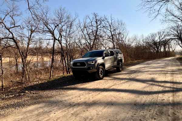
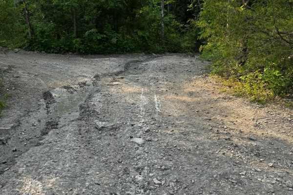
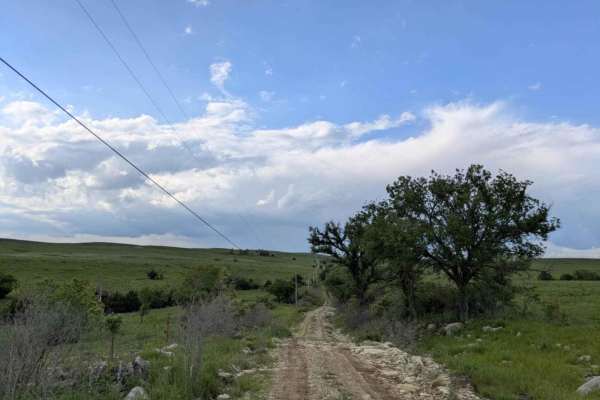
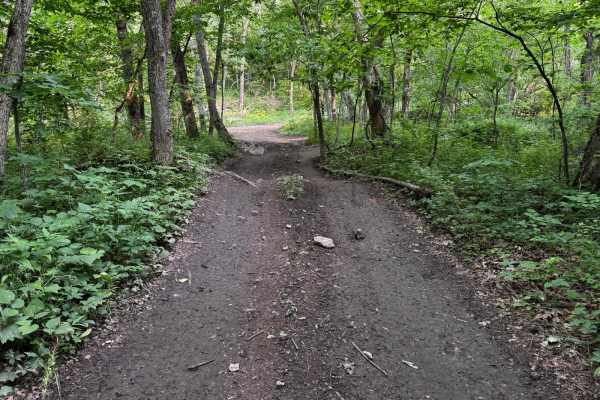
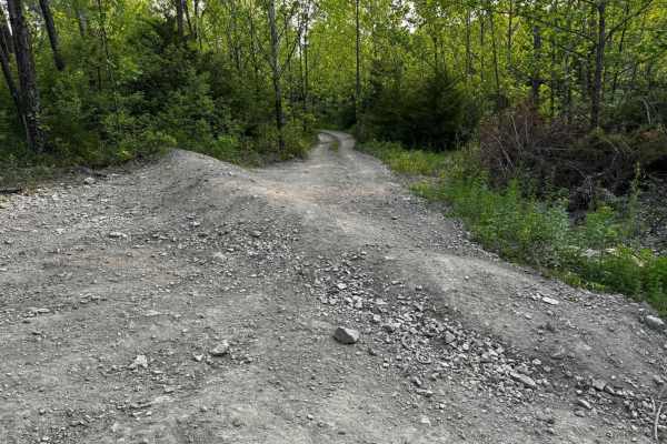
Scenic River Road
The Scenic River Road, County Road N. 2000 Road to N. 2050 Road, travels along the Kansas River Northwest of Lawrence, Kansas, heading west toward historic Lecompton, Kansas, the first state capital. The trail is hard-packed dirt and gravel suitable for any vehicle except in winter conditions with h...
Learn more about Scenic River Road
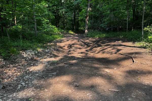
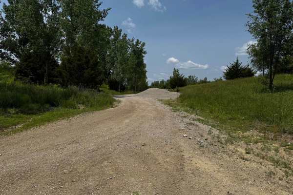
Kickapoo Trail
The Kickapoo Trail offers a relaxing and scenic off-road experience in northeast Kansas, perfect for riders looking to enjoy a leisurely ride through nature without too much difficulty. Located near Kickapoo in Brown County, this trail primarily follows a well-maintained gravel road, making it acces...
Learn more about Kickapoo Trail
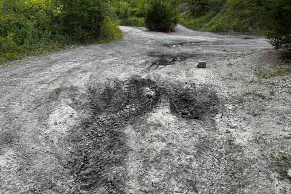
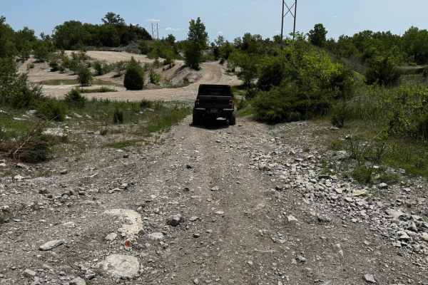
Neahring Ranch
This trail follows a narrow ribbon of smooth gravel that occasionally gives way to rocky patches, winding through a dense forest flanked by a sea of open fields. You'll likely spot deer browsing along the roadside as you drive, so stay alert. There are no formal or dispersed campsites, and you won't...
Learn more about Neahring Ranch
Green 160
This trail includes a few very narrow sections where the vehicle may easily get scratched or pinstriped due to close tree branches or bushes. There are also some small hills along the way, though none of them are particularly challenging. One section features an off-camber angle of about 12 degrees,...
Learn more about Green 160
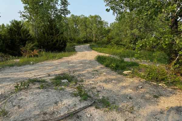
Green 139
Green 139 connects Hillside Drive 142 to Green 147 and leads into the punch bowl area. This trail includes a mud hole that typically has a solid bottom, so traction is manageable. A unique feature of the trail is a section with hills on both sides of your vehicle, requiring good suspension flex. Whi...
Learn more about Green 139
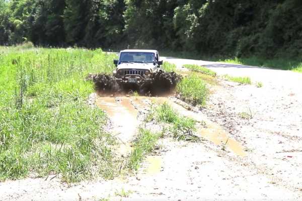
Green 133
Green 133 runs between Over The Hill 135 and Yellow 130, with access to Yellow 134. This trail features several muddy sections that can become very slick, especially during or after rain. There are also off-camber areas where a loss of traction could slide you toward nearby trees. Mud-terrain tires ...
Learn more about Green 133

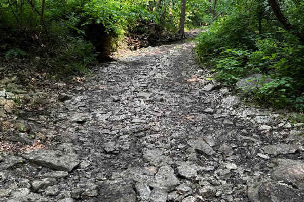
1 Finger 129
This trail follows a creek bed, which makes for a consistently rocky path with occasional standing water. Some sections are off-camber, requiring careful tire placement to stay balanced. While there aren't any major rock ledges or large obstacles, changing water levels can affect traction and visibi...
Learn more about 1 Finger 129
Green 162
This trail starts near the area where the mini ledges were once accessible, but now a large tree blocks the path intentionally. Beyond this obstacle, the trail is mostly straightforward, featuring hard-packed ground with a few dirt and mud holes scattered along the way. Overall, it remains relativel...
Learn more about Green 162
Christy Road
This section represents the trail's most technical challenges, though you can bypass it by remaining on the main artery route. Despite its short length, this narrow path sees little use and receives no maintenance. You'll face rocky, off-camber stretches, steep ascents and descents, and plenty of mu...
Learn more about Christy Road
Green 137
Green 137 is situated between Yellow 130 and Hillside Drive 142. The connection point at Yellow 130 is known for being very wet and muddy, which can make it challenging to pass. This trail is narrow, only wide enough for one vehicle, and requires careful driving to maneuver safely between the trees ...
Learn more about Green 137
Green 10
Green 10 is a short spur trail that branches off from Green 9 and connects directly to Green 11. The trail features a steep, rocky descent that adds a bit of character to the ride. It's a great connector with a bit of technical flavor depending on the weather.
Learn more about Green 10
Green 13 Tent Camp Alley
This trail provides access to the primitive tent camping area and also leads to several nearby fishing hole locations. The terrain is a mix of dirt and rock, generally flat and easy to navigate. It serves as a practical connector for campers and anglers looking to reach key spots within the property...
Learn more about Green 13 Tent Camp Alley
Green 144
This trail features several hills that could challenge your vehicle's break-over angle, especially if your rig is longer. Aside from that, the trail is fairly straightforward. There is some overgrowth along the path, so expect minor scratches or pinstripes on your vehicle. You'll also encounter a fe...
Learn more about Green 144
Green 147
Green 147 links Green 141 to an area known as the Punch Bowl. The trail begins with an off-camber hill that requires careful driving. Beyond this entrance, the path is mostly hard-packed dirt with gentle terrain and no significant obstacles, making it suitable for most off-road vehicles with basic s...
Learn more about Green 147
2 Finger 125
This trail runs through a creek bed, so the terrain is primarily rocky. There are several larger rocks to navigate, including one prominent rock about 2 feet tall that you can either drive over or carefully go around, if your vehicle is not too wide. Small fallen trees cross the trail as well. Be aw...
Learn more about 2 Finger 125

Green 161
This trail is relatively easy, guiding you through a few narrow sections where careful and precise driving is needed to avoid scratches. The surface is mainly dirt, so you may come across some muddy patches, especially after rain. Aside from these conditions, there are no significant obstacles, maki...
Learn more about Green 161
Green 11
This trail features a combination of rock and dirt surfaces and serves as a connector between the playground area and the Main Road Trail. It offers a smooth and steady route with minimal elevation change, making it an ideal transition trail. The terrain is generally well-packed and navigable in mos...
Learn more about Green 11
Green 146
This trail is primarily composed of hard-packed dirt, providing a mostly stable driving surface. However, there is a mud hole located near the middle that appears to have a firm base. Toward one end, the trail features a section that will challenge your vehicle's breakover angle. Overall, there are ...
Learn more about Green 146
Green 128
This trail is primarily dirt-based and winds its way through an area with numerous tree branches down on the trail and stumps, requiring careful driving to avoid tire damage. While there are no significant obstacles to challenge drivers, the trail features gentle hill climbs that add some variety to...
Learn more about Green 128
Green 132
Green 132 is located between Yellow 130 and Green 128. This trail features multiple muddy sections throughout its length, though most of the mud holes appear to have a firm base underneath. Aside from the mud, there are no major obstacles. The entire trail is primarily composed of packed dirt, makin...
Learn more about Green 132
Beginner ATV trails near Eudora, Kansas
Explore ATV-friendly trails near you. These trails are accessible for vehicles up to 50 inches wide, perfect for ATVs and smaller off-road machines.
Scenic River Road
The Scenic River Road, County Road N. 2000 Road to N. 2050 Road, travels along the Kansas River Northwest of Lawrence, Kansas, heading west toward historic Lecompton, Kansas, the first state capital. The trail is hard-packed dirt and gravel suitable for any vehicle except in winter conditions with h...
Learn more about Scenic River Road
Kickapoo Trail
The Kickapoo Trail offers a relaxing and scenic off-road experience in northeast Kansas, perfect for riders looking to enjoy a leisurely ride through nature without too much difficulty. Located near Kickapoo in Brown County, this trail primarily follows a well-maintained gravel road, making it acces...
Learn more about Kickapoo Trail
Green 160
This trail includes a few very narrow sections where the vehicle may easily get scratched or pinstriped due to close tree branches or bushes. There are also some small hills along the way, though none of them are particularly challenging. One section features an off-camber angle of about 12 degrees,...
Learn more about Green 160
Green 139
Green 139 connects Hillside Drive 142 to Green 147 and leads into the punch bowl area. This trail includes a mud hole that typically has a solid bottom, so traction is manageable. A unique feature of the trail is a section with hills on both sides of your vehicle, requiring good suspension flex. Whi...
Learn more about Green 139
Beginner UTV/side-by-side trails near Eudora, Kansas
Find UTV and side-by-side trails near you. These trails accommodate vehicles up to 60 inches wide, ideal for UTVs, side-by-sides, and wider off-road rigs.
Scenic River Road
The Scenic River Road, County Road N. 2000 Road to N. 2050 Road, travels along the Kansas River Northwest of Lawrence, Kansas, heading west toward historic Lecompton, Kansas, the first state capital. The trail is hard-packed dirt and gravel suitable for any vehicle except in winter conditions with h...
Learn more about Scenic River Road
Kickapoo Trail
The Kickapoo Trail offers a relaxing and scenic off-road experience in northeast Kansas, perfect for riders looking to enjoy a leisurely ride through nature without too much difficulty. Located near Kickapoo in Brown County, this trail primarily follows a well-maintained gravel road, making it acces...
Learn more about Kickapoo Trail
Green 160
This trail includes a few very narrow sections where the vehicle may easily get scratched or pinstriped due to close tree branches or bushes. There are also some small hills along the way, though none of them are particularly challenging. One section features an off-camber angle of about 12 degrees,...
Learn more about Green 160
Green 139
Green 139 connects Hillside Drive 142 to Green 147 and leads into the punch bowl area. This trail includes a mud hole that typically has a solid bottom, so traction is manageable. A unique feature of the trail is a section with hills on both sides of your vehicle, requiring good suspension flex. Whi...
Learn more about Green 139
The onX Offroad Difference
onX Offroad combines trail photos, descriptions, difficulty ratings, width restrictions, seasonality, and more in a user-friendly interface. Available on all devices, with offline access and full compatibility with CarPlay and Android Auto. Discover what you're missing today!
Open Trail Map