
Beginner Off-Road Trails
Near Egypt, Alabama
Explore All Beginner Trails Near Egypt, Alabama
Beginner Off-Road Trails Near Egypt, Alabama
Discover the best beginner-friendly off-road trails near you. These easier, lower-rated trails are a great place to start — browse trail maps, check difficulty ratings, and find your next adventure.
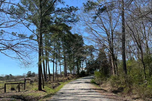
Suttles Road
Smooth gravel road that winds through beautiful farm land. Great view along the road with houses and barns on each side. Private property on both sides of the road, so stay on the road. Very smooth and well-maintained gravel road. About 1 mile of winding through the trees is great during the fall.
Learn more about Suttles Road
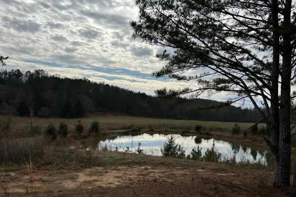
County Road 223
This trail is a mix of dirt and gravel with light washes and mud holes. One lane road with lots of scenic views along the mountainside. A few old barns, chimneys, graveyards, etc, will have to keep a sharp eye out to find these objects along the journey. Private property on both sides of the road, s...
Learn more about County Road 223
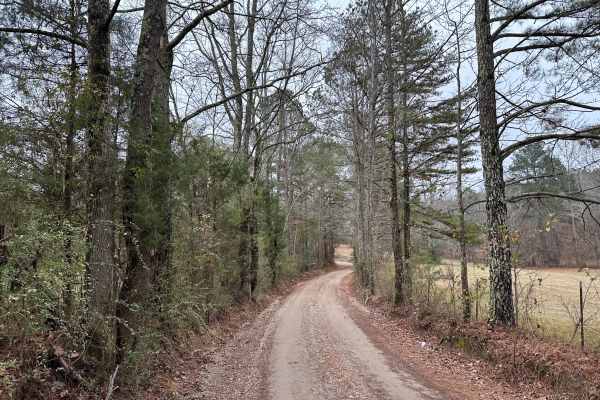
House Road
Mostly a gravel road with a few potholes and light washes in places. Scenic views midway through the trail. Awesome wooden bridge to cross and take spectacular pictures with your vehicle. Great place to swim and fish during the spring and summer months. If the water is high possible that the bridge...
Learn more about House Road
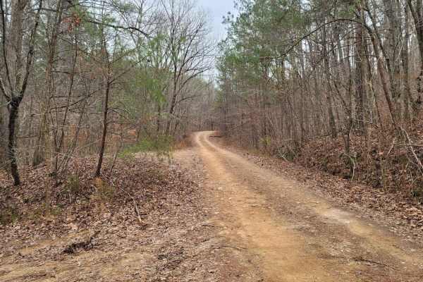
USFSR #570C - Greenleaf
USFSR #570C - Greenleaf is an offshoot of Kings Gap Mountain Road. This low-standard trail is not frequently maintained or heavily traveled; downed trees are likely. This trail is located just on the outskirts of the Dugger Mountain Wilderness Area located in the Rabbittown community of Calhoun Coun...
Learn more about USFSR #570C - Greenleaf
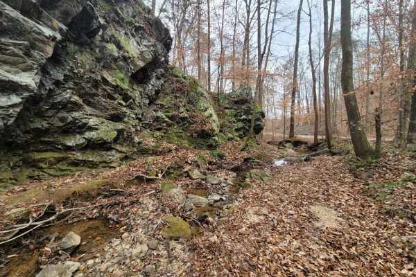
Kings Gap Mountain Road
Kings Gap Mountain Road is a gorgeous historical route that cuts through the outside edge of the Dugger Mountain Wilderness Area. This trail features mines and caves, along with beautiful creek beds formed from fast mountain water run-off. The mild inclines and declines can give the average overland...
Learn more about Kings Gap Mountain Road
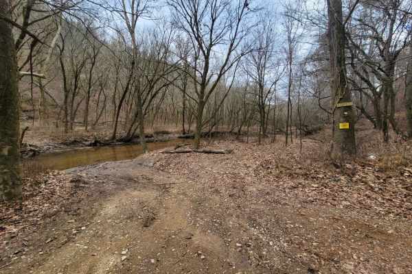
USFSR #534R - Rabbit West
USFSR #534R - Rabbit West can be one of the most scenic routes in the Talladega National Forest. This route is found in the lowlands nestled in the valleys of the Choccolocco River sheds. These low areas are full of vegetation year-round, along with abundant wildlife. This area is known for hog sigh...
Learn more about USFSR #534R - Rabbit West
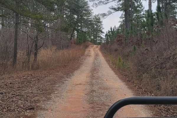
USFSR #532
USFSR #532 begins in the small community of Rabbittown on Brown Bridge Road. It starts off as pavement by giving right of way to private property, and ends on pavement at USFR #500. This is one of the fastest ways to get to Coleman Lake, but the dirt and gravel is heavily washed out for a very bumpy...
Learn more about USFSR #532
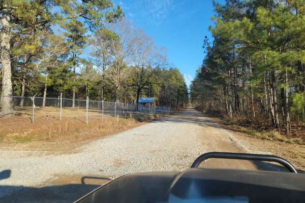
USFSR #522
USFSR #522 is a scenic and accessible 3.4-mile forest road providing a convenient entry and exit point to the Choccolocco Wildlife Management Area within Alabama's Talladega National Forest. Ideal for beginners and those looking for a relaxed drive, this route transitions from State Route 9 in the w...
Learn more about USFSR #522
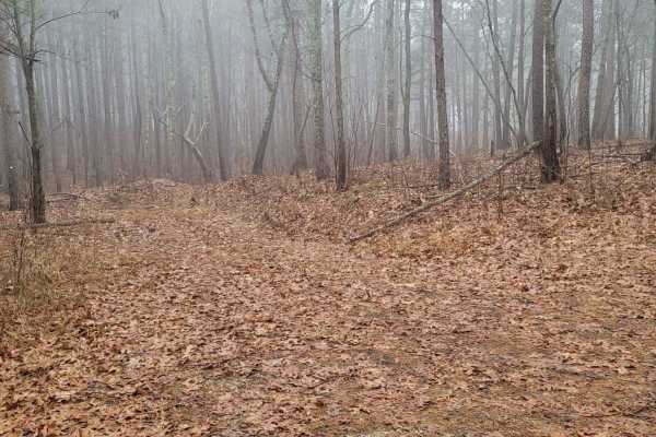
USFSR #500K
USFSR #500K is the last trail that spurs off the primary road going in and out of the Shoal Creek Ranger District portion of the Talladega National Forest. This Northernmost trail is outside the Choccolocco Wildlife Management Area but is part of the beautiful Dugger Mountain Wilderness. It is a pop...
Learn more about USFSR #500K
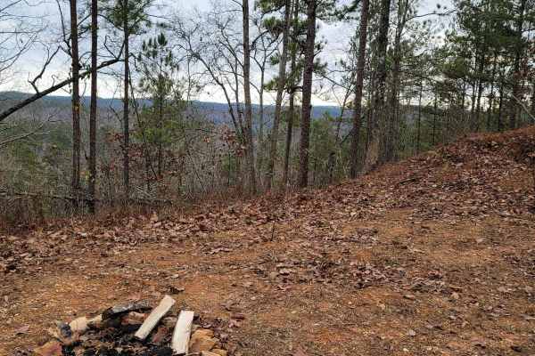
USFSR #534 - Rabbit
USFSR #534 - Rabbit can be a tricky route to navigate. Numerous spur trails are not open to motor vehicle use or have been closed over the years. This route traverses mountain tops to end at a peaceful dead end with a gate. Over the years, this trail has been re-routed and not been maintained at the...
Learn more about USFSR #534 - Rabbit
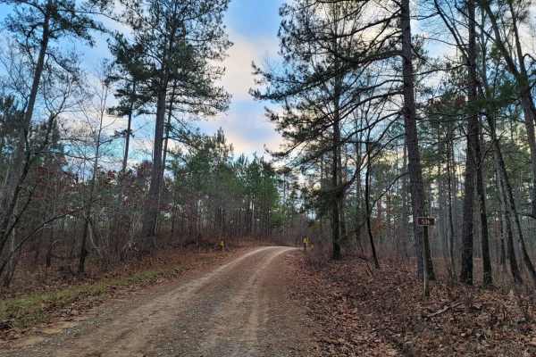
USFSR #536 - Rattlesnake Mountain
USFSR #536 - Rattlesnake Mountain is primarily ridden by equine riders who fancy the nearby horse camp, but the main route is legal to motor vehicles. This gravel-packed road leads to a gated road that takes you to a lookout tower that the trail is named after. Many other trails lead off this one, b...
Learn more about USFSR #536 - Rattlesnake Mountain
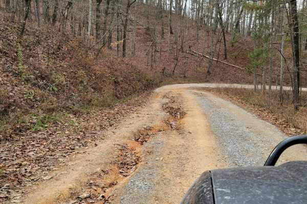
USFSR #500 pt 2
This northern portion is NOT in the Choccolocco wildlife management area, but still is in the Talladega National Forest. USFSR #500 is considered the "primary" road that runs from the southern end; starting at Skyline Drive/AL HWY 281/US HWY 78 and ends at the Northern part in the city of Piedmont i...
Learn more about USFSR #500 pt 2
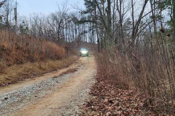
USFSR #540
USFSR #540 begins at USFSR #532 and ends at County Rd 55 in the small community of Rabbittown. It is riddled with shallow mud holes throughout the entire trail, with gravel and dirt as the primary soil. It is occasionally maintained, but due to hunting season, trail conditions return quickly. The Pi...
Learn more about USFSR #540
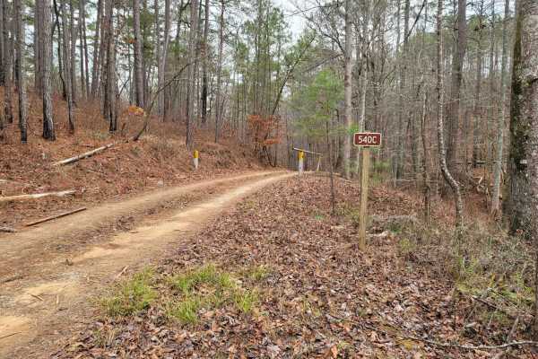
USFSR #540C - N.R. Hotel
USFSR #540 - N.R. Hotel is a mountainside stroll that allows you to have a cliffside view of the deep valleys that the Talladega National Forest has to offer. This seasonal trail is only open 10/01-02/29, so if you get a chance during hunting season to wander through, make sure you take your opportu...
Learn more about USFSR #540C - N.R. Hotel
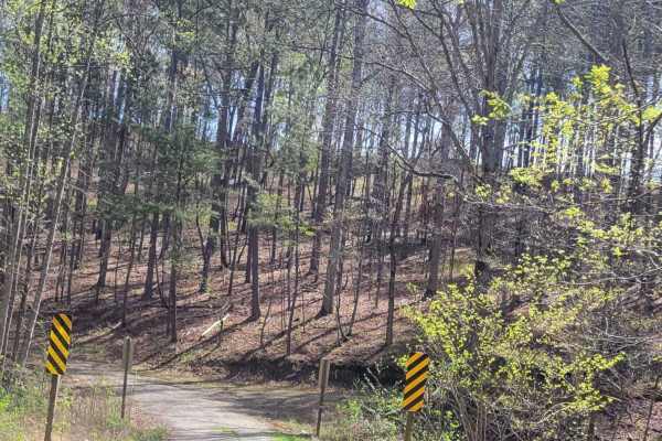
Big Popular - 529
This well-maintained service road provides beautiful scenic views with bridges that cross flowing creeks throughout. The road provides several break-off trails for more technical driving and exploring for the more adventurous off roader. Accessible by most vehicles with minimal to no obstacles to be...
Learn more about Big Popular - 529
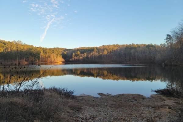
USFSR 500M Sweetwater Lake
USFSR 500M is a trail that is much like a rollercoaster. It has many steep, short down grades to an immediate steep, short uphill--usually with mud holes in between. The trail is very hard packed, but can still be slick with the Alabama red clay. When dry, 2WD vehicles can make it, but when wet, it ...
Learn more about USFSR 500M Sweetwater Lake
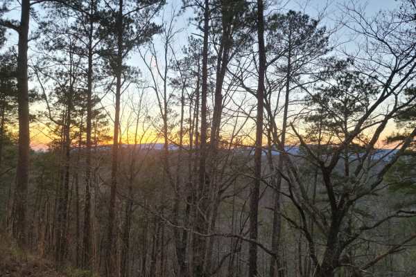
USFSR #530
USFSR #530 is a beautiful scenic ride from USFSR #500 and dead ends at private land, with no exit. Some maps may show two small trails, but there is no entrance to those small trails to access USFSR #522. This trail is very well maintained and open all year. The USFS has started making more trails o...
Learn more about USFSR #530
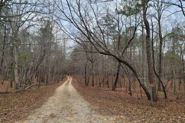
USFSR #500R - Raven Rock
USFSR #500R - Ravenrock is a flat route at the northern entrance of the Talladega National Forest. This dead-end trail in the Shoal Creek Ranger District is gated and seasonal. Its seasonal dates are 10/01-04/01. This route is easy for any high-clearance vehicle, but would not be recommended for tho...
Learn more about USFSR #500R - Raven Rock
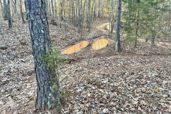
33A
Trail 33A was a short connector trail from Trail 30 to Trail 33. This trail was put in as a by-pass around one of the difficult obstacle areas along Trail 30. Trail 33A did not have any difficult areas and no obstacles. One muddy area was found that may even be dry during the summer.
Learn more about 33A
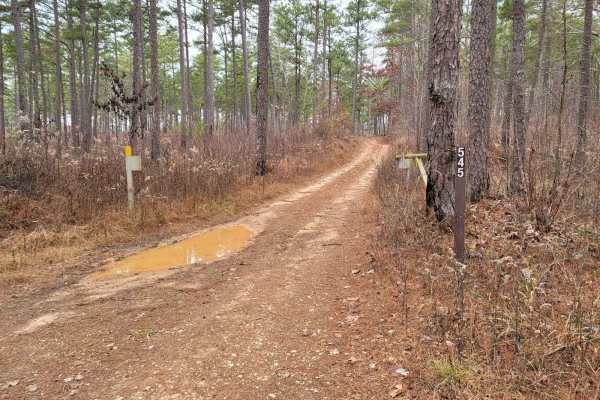
USFSR #545 - Hilltop
USFSR #545 - Hilltop is a seasonally open trail; the gates are open 10/01-02/29. During this short period, there is increased traffic and the traditionally cold rainy season in east Alabama. The trail maintains mud holes throughout, although they have hard bottoms. 545 Hilltop has been shut down on ...
Learn more about USFSR #545 - Hilltop
Beginner ATV trails near Egypt, Alabama
Explore ATV-friendly trails near you. These trails are accessible for vehicles up to 50 inches wide, perfect for ATVs and smaller off-road machines.
33A
Trail 33A was a short connector trail from Trail 30 to Trail 33. This trail was put in as a by-pass around one of the difficult obstacle areas along Trail 30. Trail 33A did not have any difficult areas and no obstacles. One muddy area was found that may even be dry during the summer.
Learn more about 33A
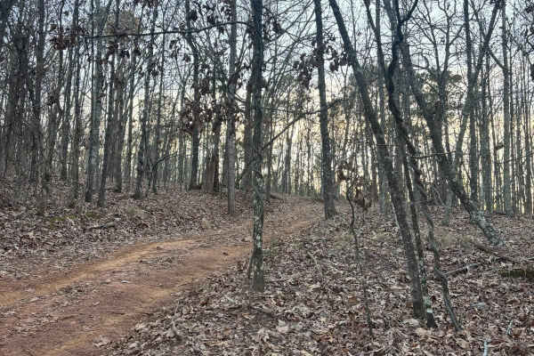
33B
Trail 33B was a dirt trail that connects Trail 33 to Trail 30. It had no rough obstacles other than a few loose stones, and large rocks to cross over, but no ledges and no tight areas to work around. This is a good by-pass trail for a part of Trail 30.
Learn more about 33B
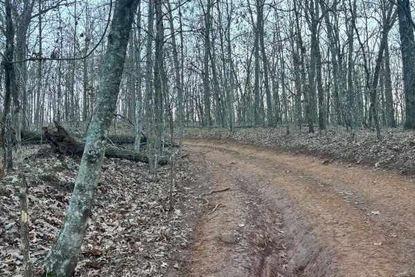
32
Trail 32 was mostly flat with no really any difficult areas with obstacles. This trail connects Trail 30 to Trail 33. This is an easy route to take to get back to the parking lot if you are hauling a broken machine or need to get off of Trail 30 quickly.
Learn more about 32
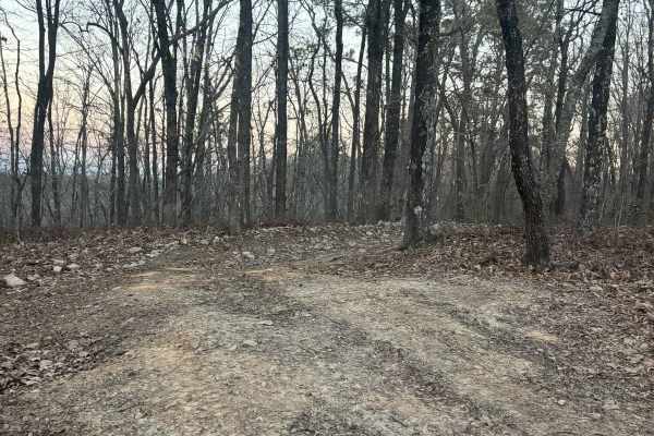
35A
Trail 35A is a connector trail from Lincoln View Trail to Trail 34 and Trail 30. This is a pretty easy trail with one tight spot to work around with trees. No rough rock obstacles or rutted-out areas. This trail is mostly dirt and used as a by-pass on a section of Trail 30.
Learn more about 35A
Beginner UTV/side-by-side trails near Egypt, Alabama
Find UTV and side-by-side trails near you. These trails accommodate vehicles up to 60 inches wide, ideal for UTVs, side-by-sides, and wider off-road rigs.
33A
Trail 33A was a short connector trail from Trail 30 to Trail 33. This trail was put in as a by-pass around one of the difficult obstacle areas along Trail 30. Trail 33A did not have any difficult areas and no obstacles. One muddy area was found that may even be dry during the summer.
Learn more about 33A
33B
Trail 33B was a dirt trail that connects Trail 33 to Trail 30. It had no rough obstacles other than a few loose stones, and large rocks to cross over, but no ledges and no tight areas to work around. This is a good by-pass trail for a part of Trail 30.
Learn more about 33B
32
Trail 32 was mostly flat with no really any difficult areas with obstacles. This trail connects Trail 30 to Trail 33. This is an easy route to take to get back to the parking lot if you are hauling a broken machine or need to get off of Trail 30 quickly.
Learn more about 32
35A
Trail 35A is a connector trail from Lincoln View Trail to Trail 34 and Trail 30. This is a pretty easy trail with one tight spot to work around with trees. No rough rock obstacles or rutted-out areas. This trail is mostly dirt and used as a by-pass on a section of Trail 30.
Learn more about 35A
The onX Offroad Difference
onX Offroad combines trail photos, descriptions, difficulty ratings, width restrictions, seasonality, and more in a user-friendly interface. Available on all devices, with offline access and full compatibility with CarPlay and Android Auto. Discover what you're missing today!
Open Trail Map