
Beginner Off-Road Trails
Near East Hope, Idaho
Explore All Beginner Trails Near East Hope, Idaho
Beginner Off-Road Trails Near East Hope, Idaho
Discover the best beginner-friendly off-road trails near you. These easier, lower-rated trails are a great place to start — browse trail maps, check difficulty ratings, and find your next adventure.
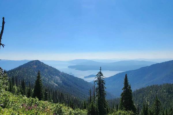
Strong Creek OHV Route
Strong Creek OHV route is a moderately used, forested, shale and dirt surface OHV route from East Hope, Idaho to near the top of Round Top Mountain in the Kaniksu National Forest. The route was recorded from the summit to the trailhead. The upper portion of the route has multiple steep switchbacks o...
Learn more about Strong Creek OHV Route
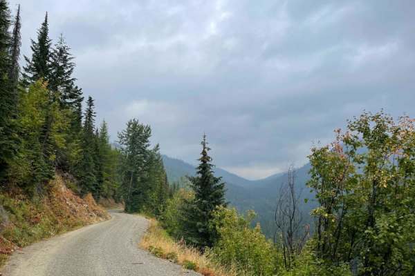
Trestle Creek Trail
This popular trail is a mostly graded washboard and potholes and is generally wide enough for oncoming to pass. There are ample pullouts in the narrower sections. The trail twists and turns through dense forest and clear-cut logging sections, occasionally coming to lovely cliffside clearings with ex...
Learn more about Trestle Creek Trail
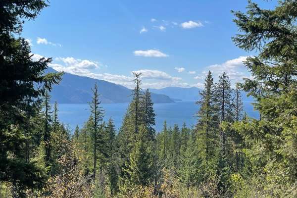
Mineral Point - 532
Prepare for a relaxed journey on Mineral Point (532), a short and easy trail nestled in Kaniksu National Forest. The trail's first mile passes through private property, so please be respectful and remain on the designated paths. With ample pullouts, turnaround spots, and space for passing, it's well...
Learn more about Mineral Point - 532
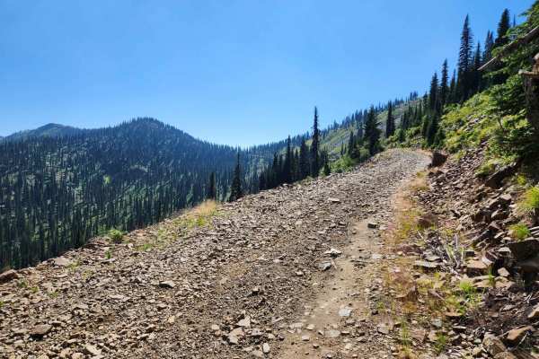
Auxor Mine Route
The Auxor Mine Route is USFS #489 and is a moderately trafficked leisurely mountain drive route that takes you from Lightning Creek, USFS #419 west in the Cabinet Mountains to the crest above East Hope, Idaho overlooking Lake Pend Oreille. The gradual gravel ascent has a few switchbacks, as well as ...
Learn more about Auxor Mine Route
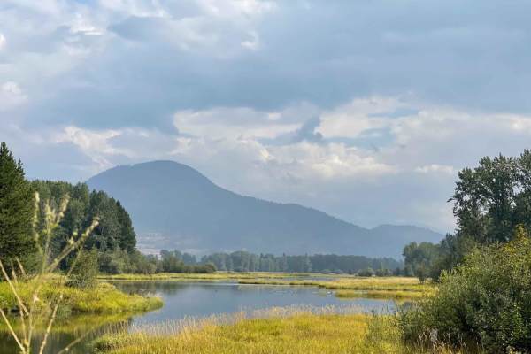
Johnson/Lakeview
This long slog runs from the valley below up the grade into the mountains. There are great views around many corners of the surrounding hills and the Clark Fork River. It leads up over plenty of large ruts and violent washboard as it twists its way along. At the summit, there are many options of dir...
Learn more about Johnson/Lakeview
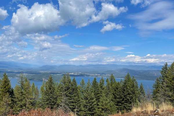
Contest Mountain- 2642
Get ready for an unforgettable adventure on Contest Mountain where the rugged beauty of Kaniksu National Forest meets breathtaking views of Lake Pend Oreille. This scenic route winds through dense forest and crosses into private land, so please respect the area and stick to the main road. Along the ...
Learn more about Contest Mountain- 2642
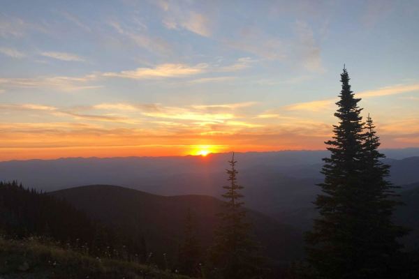
Lunch Peak
This popular out and back trail leads to the retired fire lookout tower at lunch peak. On a clear day, the views are outstanding. There are a few tighter switchbacks, but generally, it's an easy washboard trail. It's also a popular offshoot trail for the Idaho BDR Motorcycle Route. There are a few n...
Learn more about Lunch Peak
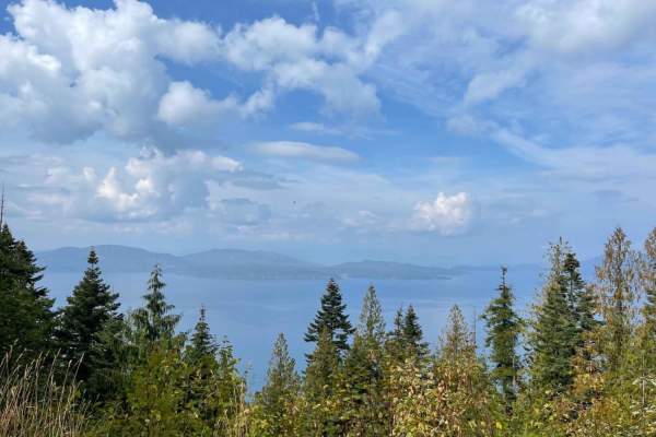
Johnson's Vista Trail
This narrow trail spurs off the main road and twists and turns its way to the cliff's edge. There are some rocky sections and quite a few rutted-out sections. Here and there are small pullouts one could camp at right along the route. There are only a few brief sections where the vista is visible;if ...
Learn more about Johnson's Vista Trail

Johnson Creek
This wide easy trail travels right along the banks of the stunning Clark Fork River. You'll pass fields of hay and tons of spectacular bridges and waterways. A pit toilet double boat load is in the area at the trail's end. Plenty of parking and turnaround spaces and fishing docks. It's a short, swee...
Learn more about Johnson Creek
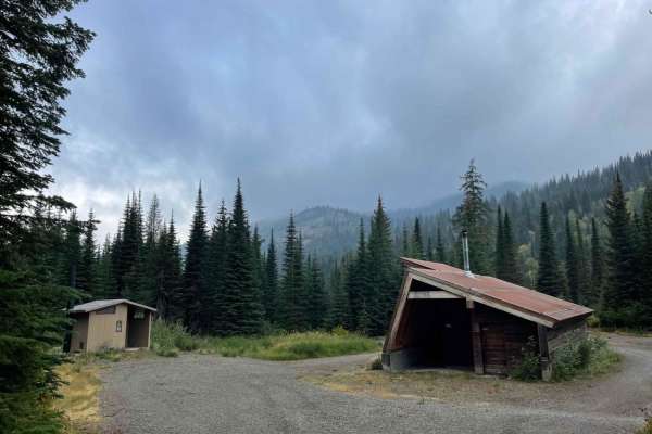
Moose Creek Trailhead
This short out and back trail is rocky with a few larger washouts. A stock SUV should be able to navigate it slowly. Near the beginning is a well-constructed warming hut with an outdoor fire pit, tent platforms, a pit toilet, and supplies inside. Be sure to read all rules if you plan on using the hu...
Learn more about Moose Creek Trailhead
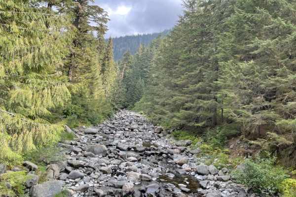
Lightning Creek
This is a well-traveled and nice graded road. It's mostly wide enough for two rigs to pass without stopping until you get closer to the end, where there are ample pullouts. It's primarily a well-maintained gravel trail with a few washboard sections. Keep your eyes peeled for a few deep dips that cou...
Learn more about Lightning Creek
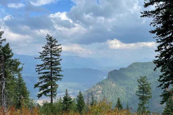
Derr Point
This narrow, bumpy out and back trail heads into the hills and gets narrower and narrower the further you go. There aren't a lot of spots to camp, but there are plenty of opportunities to scratch your paint. The trail ends at an unimpressive campsite, but if you are looking for a remote spot with a ...
Learn more about Derr Point
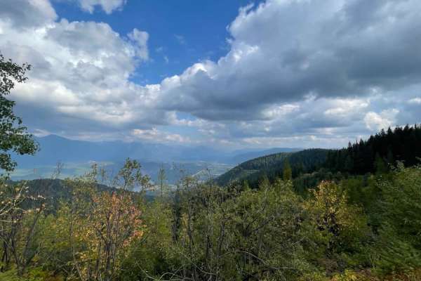
Ruen Run
This connector trail links the upper ridge trail network to the trails below. There are plenty of tight turns and switchbacks. The occasional offshoot leads to a locked gate or a decent place to dispersed camp. The route can be rutted heavily in some sections, massive potholes full of mud in others,...
Learn more about Ruen Run
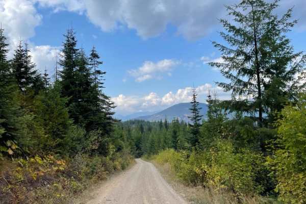
Twin Creek
This mostly graded gravel road runs from the tarmac to the Twin Creek hiking and single-track ATV trail. Although no trailhead sign states it's a single track, motorcycle tracks are evident on the trail. Overall the route is nice and smooth, with potholes that appear out of nowhere. There's a steepe...
Learn more about Twin Creek
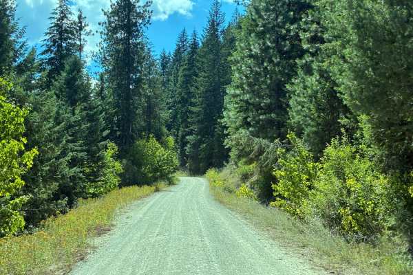
Dry Creek Road
Dry Creek Road is a easy, moderately maintained gravel road that is closed to 4x4 traffic in the winter. The road runs high above Dry Creek without access to the water. The trail is heavily wooded but offers occasional mountain views. There are no opportunities for camping along this stretch. The ro...
Learn more about Dry Creek Road
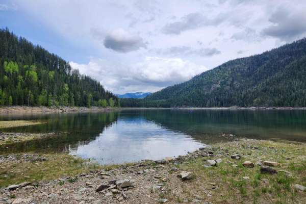
Spar Lake Road
Spar Lake Road or FS #384 is a moderately easy rock and gravel route with moderate climbs and rough surface conditions. The route has moderate use, short sections of degraded pavement from earlier mine activities, and concrete sections to halt erosion from the hillsides. It is typically only one veh...
Learn more about Spar Lake Road
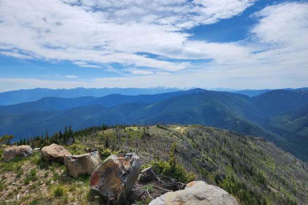
Smith Mountain
Smith Mountain trail terminates at the remains of a USFS fire lookout west of Troy, Montana. The route is extremely picturesque, offering broad panoramic views of the Cabinet and Purcell Mountains. Cell phone service is generally not accessible on this route. The area is abundant in pine trees, bear...
Learn more about Smith Mountain
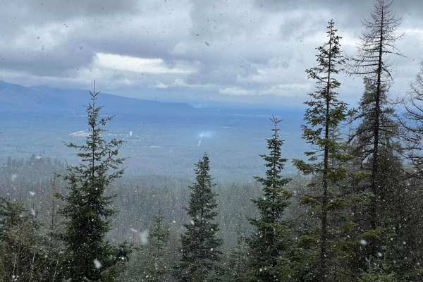
3 Sisters
This is an easy scenic route that can give you access to the 3 Sisters. The loop is very easy with any type of vehicle circling back to town on FS 297. There are great views of the mountains and the valley at multiple points along the way.
Learn more about 3 Sisters
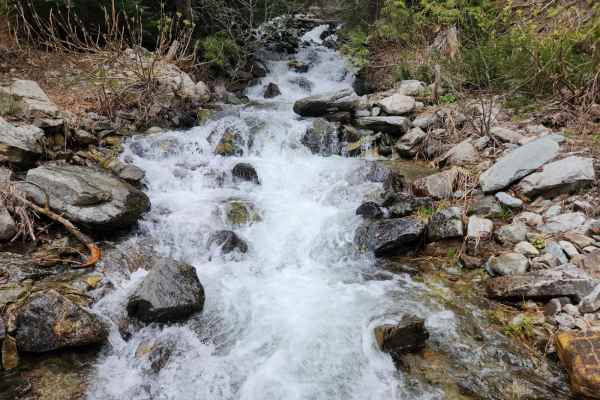
South Fork Bull River
South Fork Bull River or NF 410 is an easy, moderately graded Forrest Service road that climbs Snake Creek to the crest and descends down the South Fork Bull River. The roadway has recently been graded, though there is some encroachment from trees and brush from the sides. You will pass the Trailhea...
Learn more about South Fork Bull River
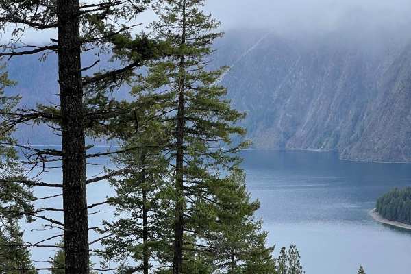
Cape Horn Mountain
This is a very scenic route out of Bayview. There are breathtaking views of the town and Lake Pend Oreille. The road starts as an easy fairly smooth road but after a couple of miles, it gets more rutted and rough. Choosing the correct line is required in a few spots for stock 4X4s, but anything lift...
Learn more about Cape Horn Mountain
Beginner ATV trails near East Hope, Idaho
Explore ATV-friendly trails near you. These trails are accessible for vehicles up to 50 inches wide, perfect for ATVs and smaller off-road machines.
Strong Creek OHV Route
Strong Creek OHV route is a moderately used, forested, shale and dirt surface OHV route from East Hope, Idaho to near the top of Round Top Mountain in the Kaniksu National Forest. The route was recorded from the summit to the trailhead. The upper portion of the route has multiple steep switchbacks o...
Learn more about Strong Creek OHV Route
Trestle Creek Trail
This popular trail is a mostly graded washboard and potholes and is generally wide enough for oncoming to pass. There are ample pullouts in the narrower sections. The trail twists and turns through dense forest and clear-cut logging sections, occasionally coming to lovely cliffside clearings with ex...
Learn more about Trestle Creek Trail
Mineral Point - 532
Prepare for a relaxed journey on Mineral Point (532), a short and easy trail nestled in Kaniksu National Forest. The trail's first mile passes through private property, so please be respectful and remain on the designated paths. With ample pullouts, turnaround spots, and space for passing, it's well...
Learn more about Mineral Point - 532
Auxor Mine Route
The Auxor Mine Route is USFS #489 and is a moderately trafficked leisurely mountain drive route that takes you from Lightning Creek, USFS #419 west in the Cabinet Mountains to the crest above East Hope, Idaho overlooking Lake Pend Oreille. The gradual gravel ascent has a few switchbacks, as well as ...
Learn more about Auxor Mine Route
Beginner UTV/side-by-side trails near East Hope, Idaho
Find UTV and side-by-side trails near you. These trails accommodate vehicles up to 60 inches wide, ideal for UTVs, side-by-sides, and wider off-road rigs.
Trestle Creek Trail
This popular trail is a mostly graded washboard and potholes and is generally wide enough for oncoming to pass. There are ample pullouts in the narrower sections. The trail twists and turns through dense forest and clear-cut logging sections, occasionally coming to lovely cliffside clearings with ex...
Learn more about Trestle Creek Trail
Mineral Point - 532
Prepare for a relaxed journey on Mineral Point (532), a short and easy trail nestled in Kaniksu National Forest. The trail's first mile passes through private property, so please be respectful and remain on the designated paths. With ample pullouts, turnaround spots, and space for passing, it's well...
Learn more about Mineral Point - 532
Auxor Mine Route
The Auxor Mine Route is USFS #489 and is a moderately trafficked leisurely mountain drive route that takes you from Lightning Creek, USFS #419 west in the Cabinet Mountains to the crest above East Hope, Idaho overlooking Lake Pend Oreille. The gradual gravel ascent has a few switchbacks, as well as ...
Learn more about Auxor Mine Route
Johnson/Lakeview
This long slog runs from the valley below up the grade into the mountains. There are great views around many corners of the surrounding hills and the Clark Fork River. It leads up over plenty of large ruts and violent washboard as it twists its way along. At the summit, there are many options of dir...
Learn more about Johnson/Lakeview
The onX Offroad Difference
onX Offroad combines trail photos, descriptions, difficulty ratings, width restrictions, seasonality, and more in a user-friendly interface. Available on all devices, with offline access and full compatibility with CarPlay and Android Auto. Discover what you're missing today!
Open Trail Map