
Beginner Off-Road Trails
Near Douglas City, California
Explore All Beginner Trails Near Douglas City, California
Beginner Off-Road Trails Near Douglas City, California
Discover the best beginner-friendly off-road trails near you. These easier, lower-rated trails are a great place to start — browse trail maps, check difficulty ratings, and find your next adventure.

Soldier Creek Loop - FS 33N48
This single-lane dirt road begins and ends at the Soldier Creek Road - FS 33N47. It is a bit overgrown in places, and pin striping would be likely for a full-size vehicle. It has some erosion damage up to a foot deep, and exposed embedded rocks and loose rocks up to a foot high. The road goes throug...
Learn more about Soldier Creek Loop - FS 33N48
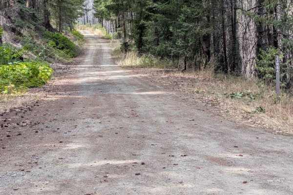
Soldier 10 Road - FS 33N84
This gravel road is 1 to 1.5 lanes wide and begins from the Soldier Creek Road - FS 33N47. It ends at an intersection with the Barker Creek Road - FS 32N03 and the closed FS 32N03 road. The road number marker shows the road is open to all vehicles. The road surface is in good condition, with some r...
Learn more about Soldier 10 Road - FS 33N84
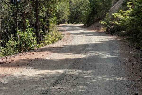
Soldier Creek Road - FS 33N47
This gravel road is 1 to 1.5 lanes wide and starts at the paved Big Creek Road. This track ends where the gravel meets pavement nearly 10 miles later. The motor vehicle use map designates it as open to Highway Legal Vehicles Only. There are a few areas of dirt where the road surface was recently rep...
Learn more about Soldier Creek Road - FS 33N47
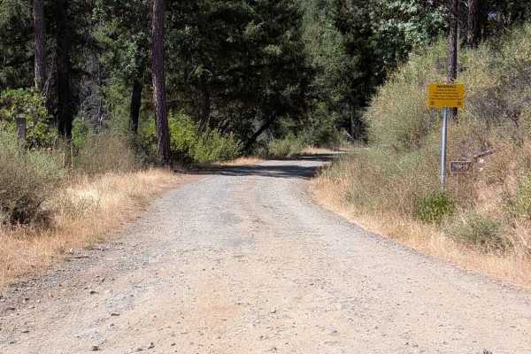
Bridge Gulch Road - FS 31N19
This single lane gravel road begins from Wildwood Road and ends ends at a cattle guard where the road becomes paved at the National Forest boundary, leading to Highway 3. The road has some natural surface sections, with erosion damage up to a foot deep. It also has some exposed embedded rocks and lo...
Learn more about Bridge Gulch Road - FS 31N19
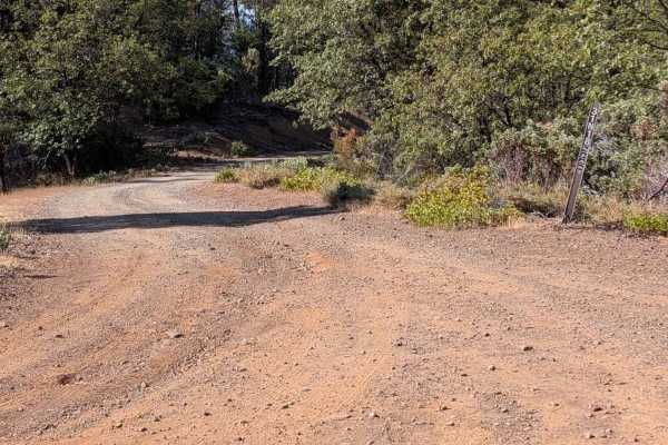
Carrier Divide Rd - FS 31N18
This single lane gravel road begins from East Kingsbury Road - FS 31N42 and connects through to the Bridge Gulch Road - FS 31N19. It has some sections that are natural surface, and there are ruts and erosion damage up to a foot deep. There are also exposed embedded rocks and loose rocks up to a foot...
Learn more about Carrier Divide Rd - FS 31N18

Chanchelulla Gulch Road - FS 30N15
This single-lane gravel road begins from the Midas Saddle Road - FS 30N16 and connects through to the Browns Creek Road - FS 30N01. The road surface is mostly in good condition, with some areas of erosion damage up to a foot deep and a couple of sections of more natural surface. The road is a littl...
Learn more about Chanchelulla Gulch Road - FS 30N15
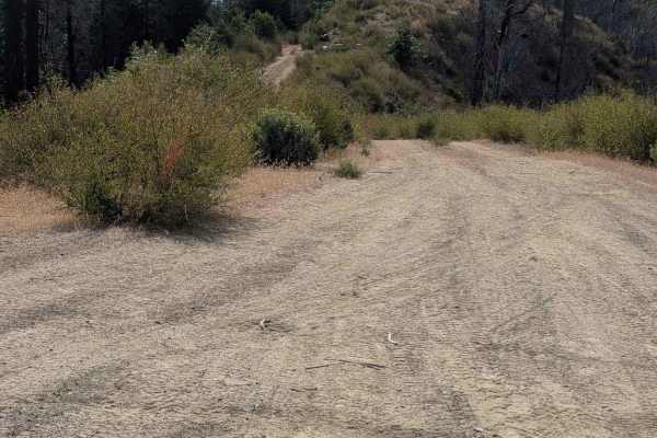
Little Creek Road - FS 32N16
This single-lane natural surface road has sections that are dirt, some that are gravel, and some that are mostly rock. The road connects from the Miners Creek Road - FS 4N07 to the Lucky Jeep Trail - FS 31N50. The road is pretty overgrown in several places and is too narrow to meet another vehicle e...
Learn more about Little Creek Road - FS 32N16
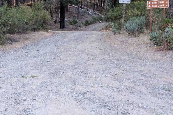
Goods Gulch Road - FS 31N38
This single lane natural surface road is mostly dirt, but also has some areas of gravel. It begins at Hwy 3 and connects through to East Kingsbury Road - FA 1N42. It has some ruts and erosion damage up to a foot deep, along with exposed embedded rocks and loose rocks up to a foot high. The road is w...
Learn more about Goods Gulch Road - FS 31N38
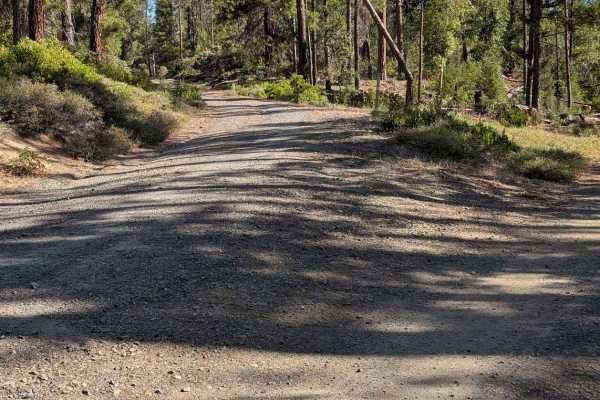
East Kingsbury Road - FS 31N42
This single lane gravel road begins Bridge Gulch Road - FS 31N19 and ends at a generous turn around. There are a couple of side road options to connect through to other roads to make a loop if desired. It has some areas of erosion damage up to a foot deep, along with exposed embedded rocks and loos...
Learn more about East Kingsbury Road - FS 31N42
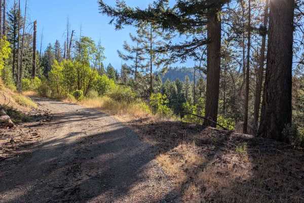
Midas Saddle Road - FS 30N16
This gravel road begins from the Potato Creek Road - FS 30N04 and connects through to the Browns Creek Road - FS 30N01, but when evaluated, it was blocked by downed trees about 8 miles in. From the condition of the road beyond the trees, they have been there for years. The road is initially good gr...
Learn more about Midas Saddle Road - FS 30N16
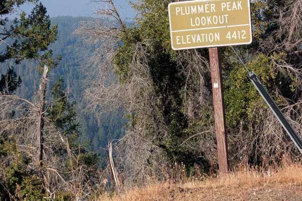
Plummer Peak Road - FS 30N31
This single-lane gravel road begins from Rattlesnake Road and climbs up to Plummer Peak Lookout. The road number sign shows open to all vehicles. It travels through a mixed forest as well as open areas. Before the road really starts climbing, there is Philpot Picnic Area right next to the road. The...
Learn more about Plummer Peak Road - FS 30N31
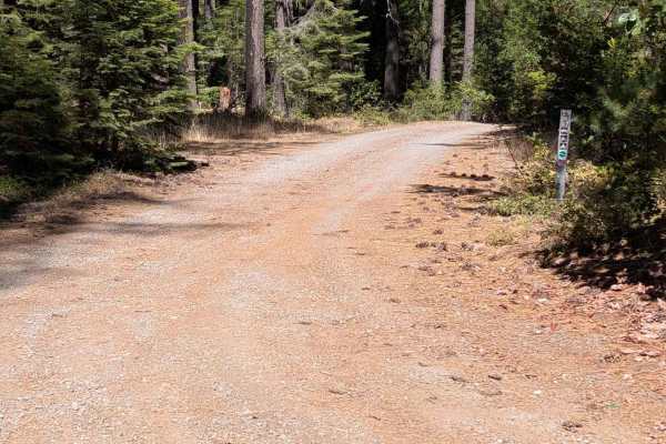
Hall City Creek Road - FS 29N07
This single-lane gravel road begins from the Browns Creek Road - FS 30N01 and connects through to the Potato Creek Road - FS 30N04. The road surface is mostly in good condition, with the exception of one spot with erosion ruts and damage a little over a foot deep. The road is wide enough to meet a...
Learn more about Hall City Creek Road - FS 29N07
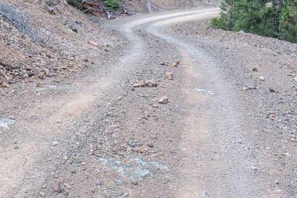
East Tule Creek - FS 31N29
This gravel road is a generous single lane wide. It begins at Plummer Peak Road - FS 30N31 and connects through to Main Tule Road - FS 31N31. The MVUM shows this road as open to Highway Legal Vehicles only. The road is in good condition and wide enough to meet another vehicle safely for most of its...
Learn more about East Tule Creek - FS 31N29
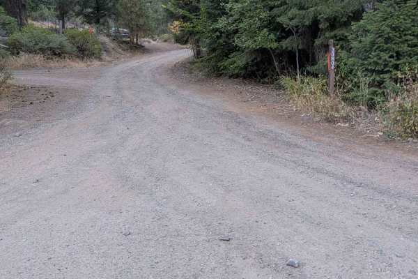
Potato Creek Road - FS 30N04
This gravel road starts at Wildwood Road and ends at a gate at a private property boundary about 4.6 miles later. Some base maps show it going through to connect back to Wildwood Road, but it doesn't. There's a Forest Service sign at the intersection with the FS 30N16 road indicating it will dead-en...
Learn more about Potato Creek Road - FS 30N04
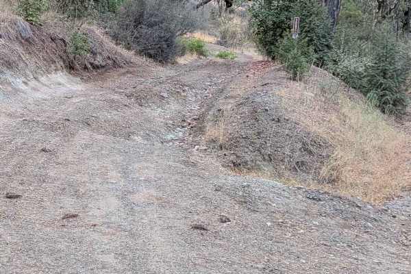
Green Gulch Road - FS 30N74
This single lane dirt road begins from Rattlesnake Road, with significant erosion damage evident right from the start. It ends at the Plummer Gulch Road - FS 30N36. The ruts and erosion damage get around a foot deep, and there are exposed embedded rocks around a foot high. There are places to meet a...
Learn more about Green Gulch Road - FS 30N74
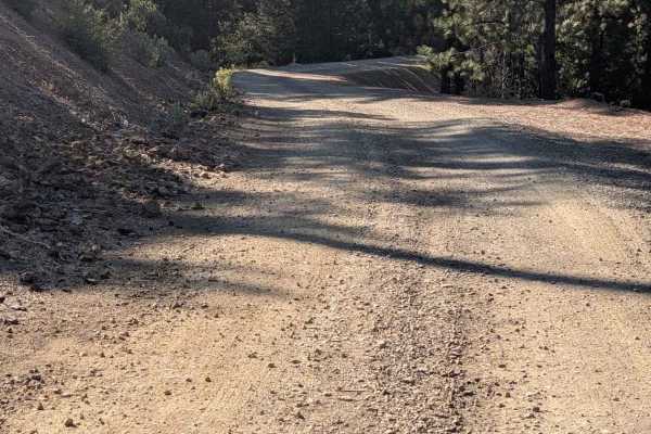
31N31 Main Tule Rd
This gravel road is a generous single lane wide. It begins at the paved Indian Valley Road - FS 2N10 and connects through to the Post Mountain Road - FS 2N07. The MVUM marks it as open to Highway Legal Vehicles only. It is wide enough to meet another vehicle safely for most of its length. The road ...
Learn more about 31N31 Main Tule Rd
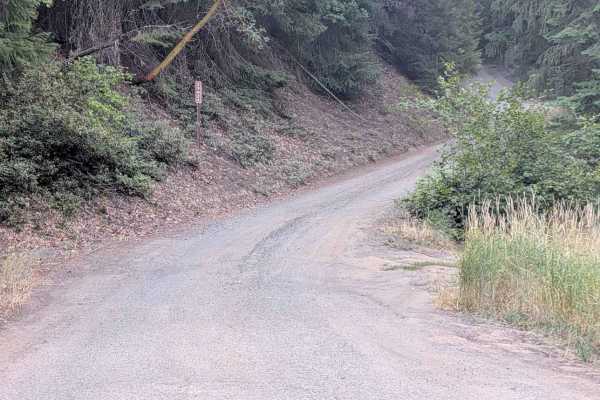
McFarland Ridge Road - FS 29N25
This single-lane dirt and gravel road begins from Hwy 36 and loops around to String Bean Creek Road - FS 29N28 near Hwy 36. It starts as a gravel road at Hwy 36, but transitions to dirt closer to the 29N28 side. There are plenty of places to meet another vehicle safely, but there are sections too n...
Learn more about McFarland Ridge Road - FS 29N25
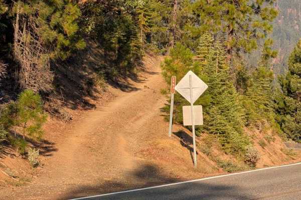
Dubakella Creek Road - FS 29N31
This single-lane gravel road begins from Highway 36 and ends at Panther Ridge Road - FS 29N33. There is room to meet another vehicle safely for most of its length, although there are some narrow sections. The road surface varies from smooth gravel to sections of natural surface with erosion damage u...
Learn more about Dubakella Creek Road - FS 29N31
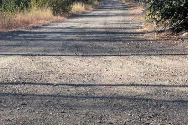
South Fork Goods Creek Road - FS 29N27
This single-lane gravel and dirt road starts at the String Bean Creek Road - 29N28 and ends at a turnaround about 4.6 miles later after looping around onto a ridge near but at a higher elevation than its starting point. The road is gravel at first, but becomes dirt shortly after its intersection wit...
Learn more about South Fork Goods Creek Road - FS 29N27
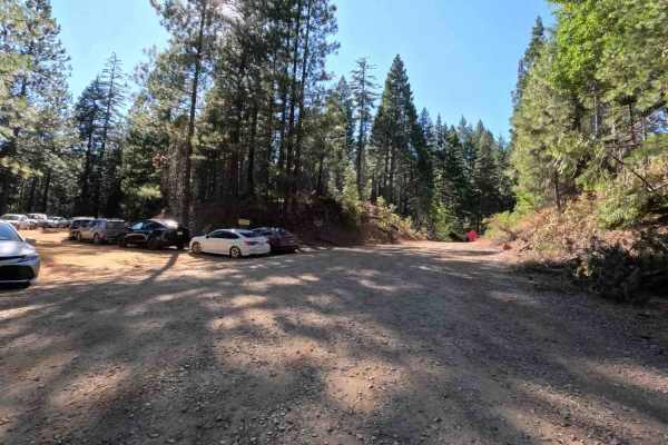
Mule Creek - FS 35N23Y
Mule Creek - FS 35N23Y leads travelers through a serene timberland setting within the Shasta-Trinity National Forest, transitioning from lush creek-side greenery to open evergreen stands. This well-traversed connector route is accessed directly off local forest arterials and serves as a vital thorou...
Learn more about Mule Creek - FS 35N23Y
Beginner ATV trails near Douglas City, California
Explore ATV-friendly trails near you. These trails are accessible for vehicles up to 50 inches wide, perfect for ATVs and smaller off-road machines.
Soldier Creek Loop - FS 33N48
This single-lane dirt road begins and ends at the Soldier Creek Road - FS 33N47. It is a bit overgrown in places, and pin striping would be likely for a full-size vehicle. It has some erosion damage up to a foot deep, and exposed embedded rocks and loose rocks up to a foot high. The road goes throug...
Learn more about Soldier Creek Loop - FS 33N48
Soldier 10 Road - FS 33N84
This gravel road is 1 to 1.5 lanes wide and begins from the Soldier Creek Road - FS 33N47. It ends at an intersection with the Barker Creek Road - FS 32N03 and the closed FS 32N03 road. The road number marker shows the road is open to all vehicles. The road surface is in good condition, with some r...
Learn more about Soldier 10 Road - FS 33N84
Bridge Gulch Road - FS 31N19
This single lane gravel road begins from Wildwood Road and ends ends at a cattle guard where the road becomes paved at the National Forest boundary, leading to Highway 3. The road has some natural surface sections, with erosion damage up to a foot deep. It also has some exposed embedded rocks and lo...
Learn more about Bridge Gulch Road - FS 31N19
Carrier Divide Rd - FS 31N18
This single lane gravel road begins from East Kingsbury Road - FS 31N42 and connects through to the Bridge Gulch Road - FS 31N19. It has some sections that are natural surface, and there are ruts and erosion damage up to a foot deep. There are also exposed embedded rocks and loose rocks up to a foot...
Learn more about Carrier Divide Rd - FS 31N18
Beginner UTV/side-by-side trails near Douglas City, California
Find UTV and side-by-side trails near you. These trails accommodate vehicles up to 60 inches wide, ideal for UTVs, side-by-sides, and wider off-road rigs.
Soldier Creek Loop - FS 33N48
This single-lane dirt road begins and ends at the Soldier Creek Road - FS 33N47. It is a bit overgrown in places, and pin striping would be likely for a full-size vehicle. It has some erosion damage up to a foot deep, and exposed embedded rocks and loose rocks up to a foot high. The road goes throug...
Learn more about Soldier Creek Loop - FS 33N48
Soldier 10 Road - FS 33N84
This gravel road is 1 to 1.5 lanes wide and begins from the Soldier Creek Road - FS 33N47. It ends at an intersection with the Barker Creek Road - FS 32N03 and the closed FS 32N03 road. The road number marker shows the road is open to all vehicles. The road surface is in good condition, with some r...
Learn more about Soldier 10 Road - FS 33N84
Bridge Gulch Road - FS 31N19
This single lane gravel road begins from Wildwood Road and ends ends at a cattle guard where the road becomes paved at the National Forest boundary, leading to Highway 3. The road has some natural surface sections, with erosion damage up to a foot deep. It also has some exposed embedded rocks and lo...
Learn more about Bridge Gulch Road - FS 31N19
Carrier Divide Rd - FS 31N18
This single lane gravel road begins from East Kingsbury Road - FS 31N42 and connects through to the Bridge Gulch Road - FS 31N19. It has some sections that are natural surface, and there are ruts and erosion damage up to a foot deep. There are also exposed embedded rocks and loose rocks up to a foot...
Learn more about Carrier Divide Rd - FS 31N18
The onX Offroad Difference
onX Offroad combines trail photos, descriptions, difficulty ratings, width restrictions, seasonality, and more in a user-friendly interface. Available on all devices, with offline access and full compatibility with CarPlay and Android Auto. Discover what you're missing today!
Open Trail Map