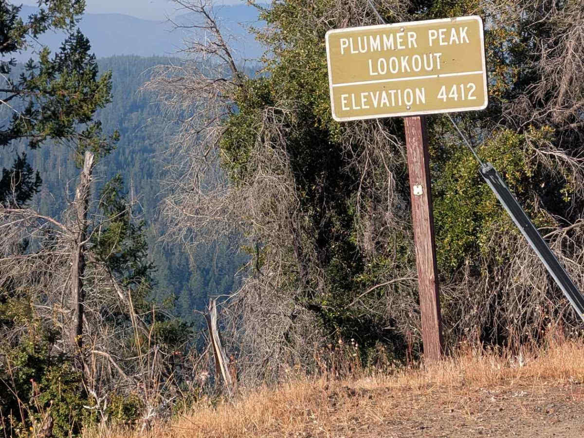
Plummer Peak Road - FS 30N31

Total Miles4.7
Technical Rating
2Easy
Best TimeSummer, Spring, Fall
Trail TypeFull-Width Road
Accessible By
Open Trail Map

Trail Overview

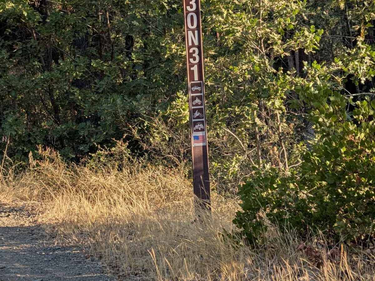
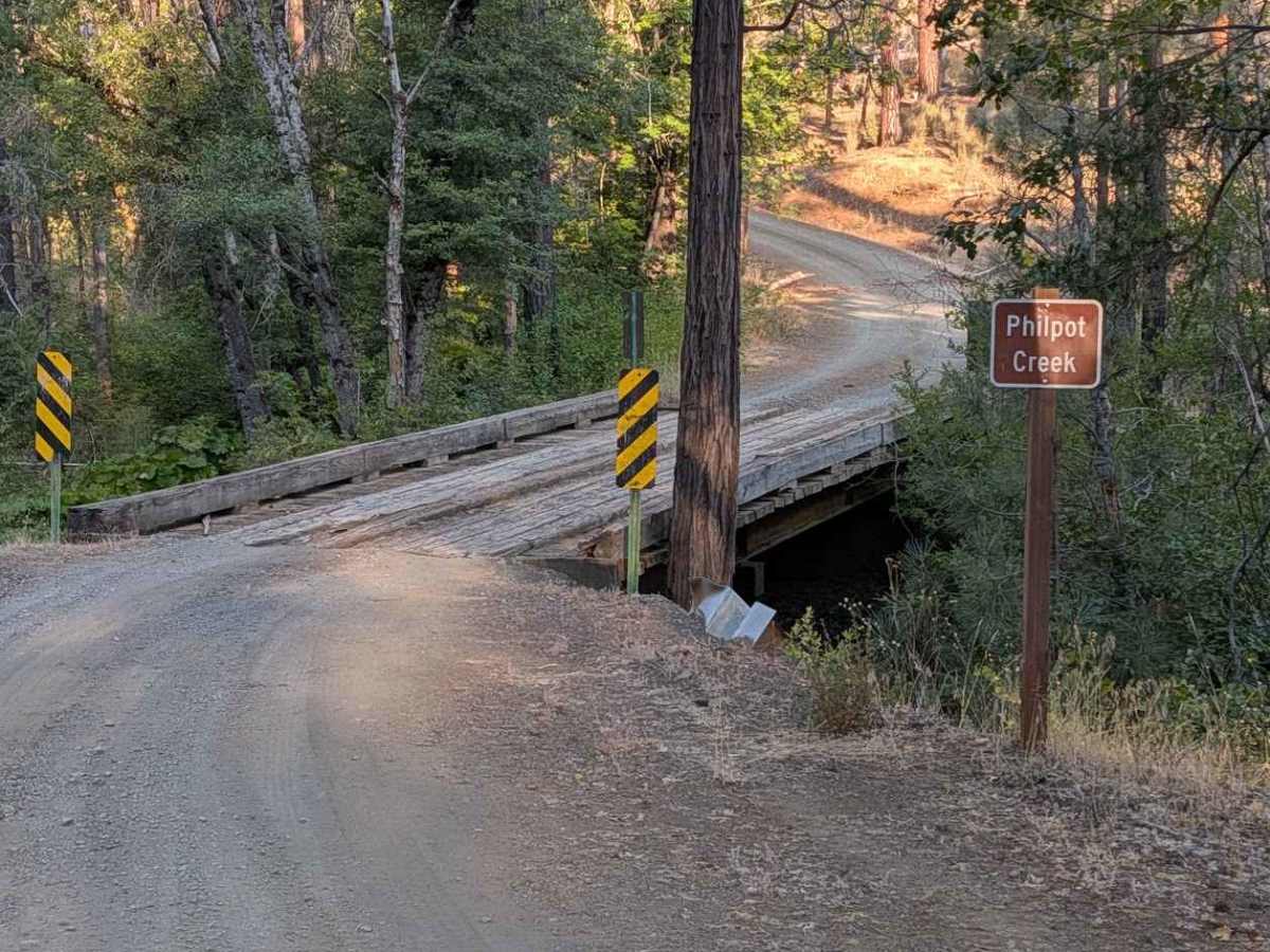
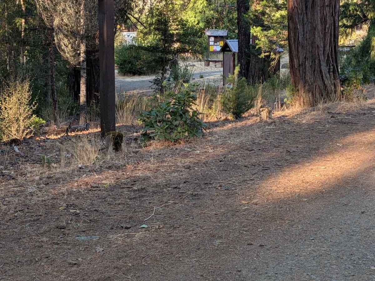
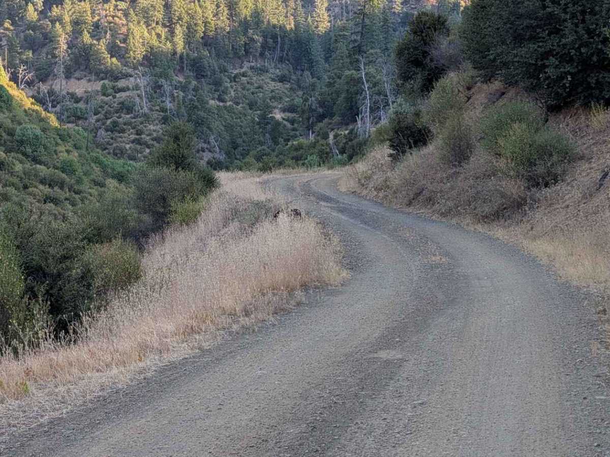
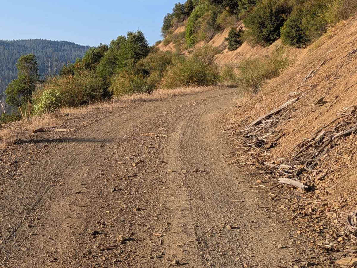
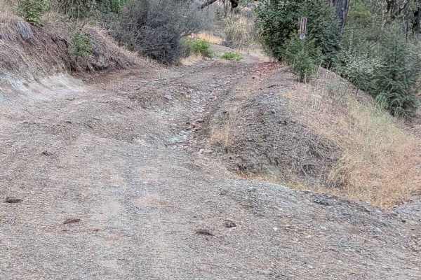
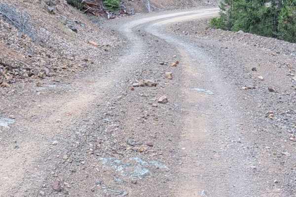
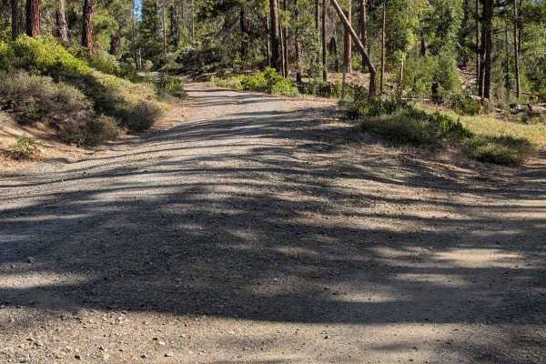
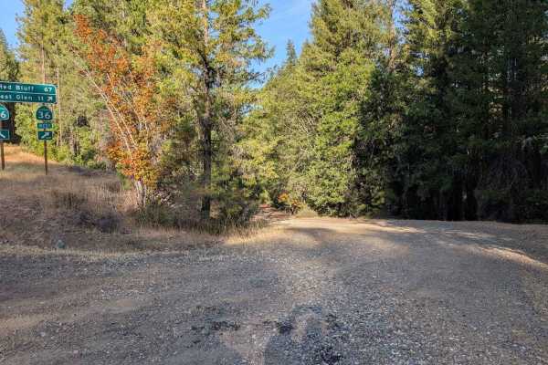
This single-lane gravel road begins from Rattlesnake Road and climbs up to Plummer Peak Lookout. The road number sign shows open to all vehicles. It travels through a mixed forest as well as open areas. Before the road really starts climbing, there is Philpot Picnic Area right next to the road. There's a gate at the intersection about 3.25 miles up that leads to the actual lookout. When evaluated, this gate was open. The road is in good condition all the way to the top. The gate will be open when conditions and resources permit. The road is wide enough to meet another vehicle safely for most of its length, but there are sections too narrow to do that easily.

Photos of Plummer Peak Road - FS 30N31

Difficulty

Rated 2 for width.

Technical Rating

2

Plummer Peak Road - FS 30N31 Trail can be accessed by the following ride types:

  • Single Track
  • 50 Inch
  • 60 Inch
  • High Clearance
  • Full Width

Plummer Peak Road - FS 30N31 Map

The onX Offroad Difference

onX Offroad combines trail photos, descriptions, difficulty ratings, width restrictions, seasonality, and more in a user-friendly interface. Available on all devices, with offline access and full compatibility with CarPlay and Android Auto. Discover what you're missing today!

Open Trail Map