
Beginner Off-Road Trails
Near Carencro, Louisiana
Explore All Beginner Trails Near Carencro, Louisiana
Beginner Off-Road Trails Near Carencro, Louisiana
Discover the best beginner-friendly off-road trails near you. These easier, lower-rated trails are a great place to start — browse trail maps, check difficulty ratings, and find your next adventure.
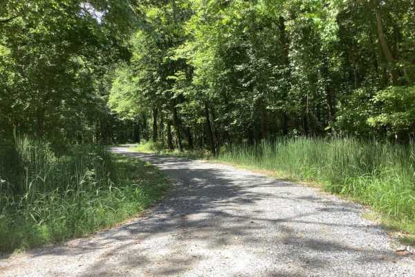
Sherburne Wildlife Management Area (WMA) Trail
The Sherburne Wildlife Management Area (WMA) Trail offers an easy, scenic 19.7-mile drive perfect for families, beginners, and outdoor enthusiasts looking to explore Louisiana's unique bayou landscape. Running along the eastern bank of the Atchafalaya River and the western boundary of the Sherburne ...
Learn more about Sherburne Wildlife Management Area (WMA) Trail
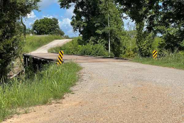
Grassy Lakes Wildlife Management Area (WMA) South Trail
This trail begins at the north end of the Town of Simmesport, LA, and follows dirt roads and trails along Bayou des Glaises until you make a right turn to start the trail to the southern point of the Grassy Lakes WMA. Along the way, there are 1000's of acres of farmland and historical sites to see, ...
Learn more about Grassy Lakes Wildlife Management Area (WMA) South Trail

Cat Island River Trail
This trail runs along the Mississippi River near the Cat Island National Wildlife Refuge. Depending on the time of year, higher river flood stages can make this trail inaccessible since it lies in a natural flood plain. During dryer periods, the trail is often covered with several inches of silt. Th...
Learn more about Cat Island River Trail
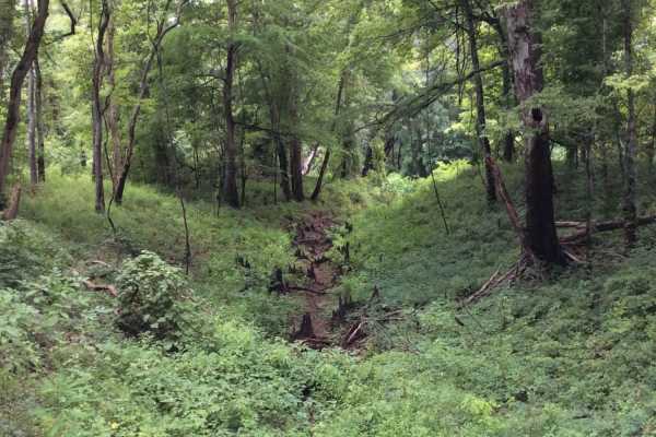
Grassy Lakes Wildlife Management Area (WMA) Central Trail
This trail runs through the central area of the Grassy Lakes Wildlife Management Area (WMA). The trail is more improved and connects public use areas such as camping areas, boat launches, and a few private camps. There are a variety of spurs and trails to take that allow you to explore the north or ...
Learn more about Grassy Lakes Wildlife Management Area (WMA) Central Trail
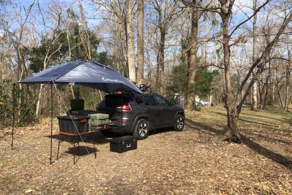
Tunica Hills WMA Trail 1
This trail route runs through the Tunica Hills Louisiana Wildlife Management Area. The route consists of gravel and dirt roads that are carved on the top of ridgelines that at times have 50- to 100-foot drop-offs as close as 5-10 feet from the main trail. The majority of the trail is covered by old-...
Learn more about Tunica Hills WMA Trail 1
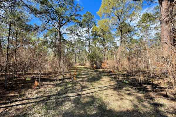
The Narrows
I call this trail The Narrows because it is very narrow. If you don't like pin striping I wouldn't go down this trail. I was in a mid-size truck a Nissan Frontier and the brush was dragging both sides of the truck most of the way down the trail. It's a beautiful area some places are fairly open and ...
Learn more about The Narrows
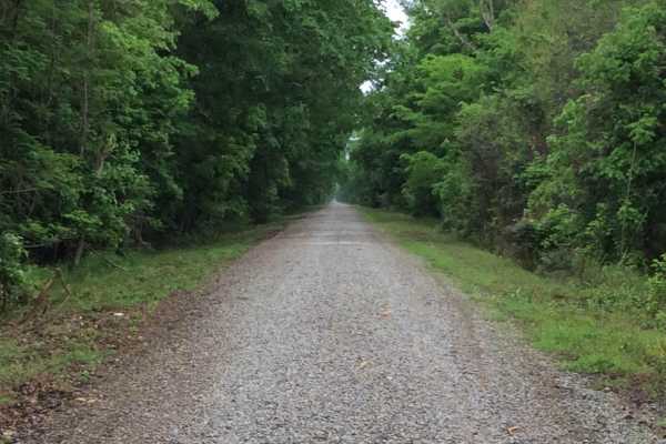
Three Rivers WMA - Grand Bay Trail
This trail cuts through the Three Rivers Wildlife Management Area (WMA) from east to west and allows access to the Grand Bay and boat launches on the Red River. There are several primitive camp options starting at the trailhead and others further into the area. This area is only accessible by this t...
Learn more about Three Rivers WMA - Grand Bay Trail

Longleaf Route
Beautiful mostly maintained forest roads, not too rough but there are some deep ruts at the time I drove these along the sides of the roads. The area is full of beautiful Longleaf Pine Trees, and there's a hidden lake see if you can find it so you might want to bring a fishing pole or a kayak.
Learn more about Longleaf Route
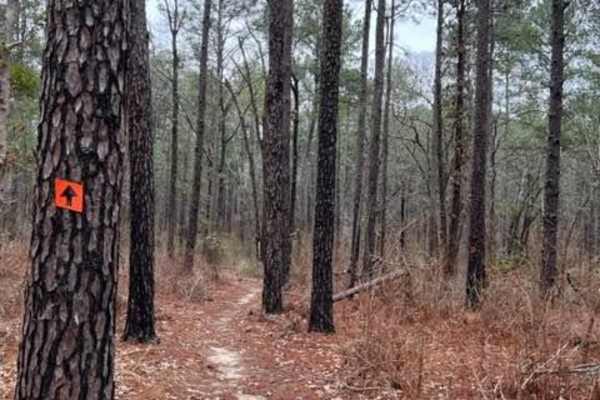
Claiborne "B" Loop
A diversified amount of roots, rocks, and flowy single track through the Kisatchie Forest has some elevation change. After a decent rain, the ground holds its moisture, so plan on wet and slimy conditions with some possible downed trees and mud holes. Overall, a very fun ride with many trails that c...
Learn more about Claiborne "B" Loop
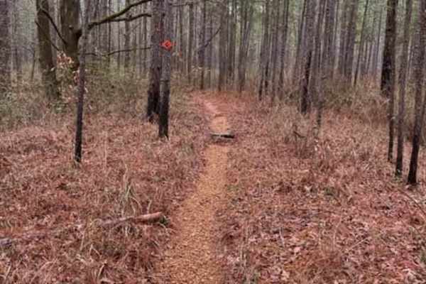
Claiborne "A" Loop
A diversified amount of roots, rocks, and flowy single track through the Kisatchie Forest has some elevation change. After a decent rain, the ground holds its moisture, so plan on wet and slimy conditions with some possible downed trees and mud holes. Overall, a very fun ride with many trails that c...
Learn more about Claiborne "A" Loop
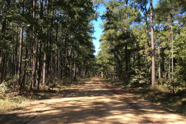
Eastern Evangeline District Trail
This trail follows the eastern side of the Evangeline District of the Kistatchie National Forest. You can enter the train at the intersection of Highway 112 and McGillary Road 266 which is on the outer perimeter of the Camp Claiborne Complex. This trail offers a variety of deep wood views and trail ...
Learn more about Eastern Evangeline District Trail

Red River Levee Trail
This trail follows the top of the Red River Levee structure. The area on the north side of the trail follows the southern boundary of the Red River Wildlife Management Area (WMA) and the south side of the trail boarders along the Red River. There are numerous primitive camping sites and boat launche...
Learn more about Red River Levee Trail
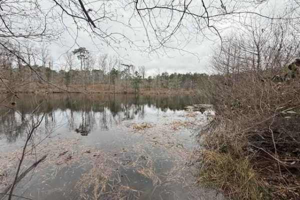
Woodward Branch
This trail provides a scenic, wooded drive through the Kisatchie National Forest and ends with access to the Kincaid Reservoir. Most of the trail is a well-maintained gravel road that is traversable with 2WD. The gravel road ends in a wide area that provides room for parking if you prefer to hike th...
Learn more about Woodward Branch
Beginner ATV trails near Carencro, Louisiana
Explore ATV-friendly trails near you. These trails are accessible for vehicles up to 50 inches wide, perfect for ATVs and smaller off-road machines.
Cat Island River Trail
This trail runs along the Mississippi River near the Cat Island National Wildlife Refuge. Depending on the time of year, higher river flood stages can make this trail inaccessible since it lies in a natural flood plain. During dryer periods, the trail is often covered with several inches of silt. Th...
Learn more about Cat Island River Trail
The Narrows
I call this trail The Narrows because it is very narrow. If you don't like pin striping I wouldn't go down this trail. I was in a mid-size truck a Nissan Frontier and the brush was dragging both sides of the truck most of the way down the trail. It's a beautiful area some places are fairly open and ...
Learn more about The Narrows
Beginner UTV/side-by-side trails near Carencro, Louisiana
Find UTV and side-by-side trails near you. These trails accommodate vehicles up to 60 inches wide, ideal for UTVs, side-by-sides, and wider off-road rigs.
Sherburne Wildlife Management Area (WMA) Trail
The Sherburne Wildlife Management Area (WMA) Trail offers an easy, scenic 19.7-mile drive perfect for families, beginners, and outdoor enthusiasts looking to explore Louisiana's unique bayou landscape. Running along the eastern bank of the Atchafalaya River and the western boundary of the Sherburne ...
Learn more about Sherburne Wildlife Management Area (WMA) Trail
Cat Island River Trail
This trail runs along the Mississippi River near the Cat Island National Wildlife Refuge. Depending on the time of year, higher river flood stages can make this trail inaccessible since it lies in a natural flood plain. During dryer periods, the trail is often covered with several inches of silt. Th...
Learn more about Cat Island River Trail
The Narrows
I call this trail The Narrows because it is very narrow. If you don't like pin striping I wouldn't go down this trail. I was in a mid-size truck a Nissan Frontier and the brush was dragging both sides of the truck most of the way down the trail. It's a beautiful area some places are fairly open and ...
Learn more about The Narrows
The onX Offroad Difference
onX Offroad combines trail photos, descriptions, difficulty ratings, width restrictions, seasonality, and more in a user-friendly interface. Available on all devices, with offline access and full compatibility with CarPlay and Android Auto. Discover what you're missing today!
Open Trail Map