
Beginner Off-Road Trails
Near Cahaba Heights, Alabama
Explore All Beginner Trails Near Cahaba Heights, Alabama
Beginner Off-Road Trails Near Cahaba Heights, Alabama
Discover the best beginner-friendly off-road trails near you. These easier, lower-rated trails are a great place to start — browse trail maps, check difficulty ratings, and find your next adventure.
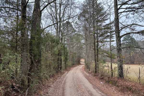
House Road
Mostly a gravel road with a few potholes and light washes in places. Scenic views midway through the trail. Awesome wooden bridge to cross and take spectacular pictures with your vehicle. Great place to swim and fish during the spring and summer months. If the water is high possible that the bridge...
Learn more about House Road
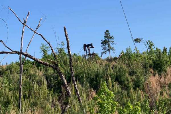
Camp Creek
An out and back trail offering access to Mulberry Fork WMA. There are opportunities for hunting, fishing, and photography, as well as a great lunch spot overlooking Bankhead Lake on the Black Warrior River at the end. There are several seasonal trails that are accessible from this trail.
Learn more about Camp Creek
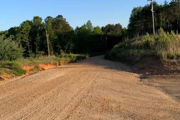
Warrior Cemetery Road
Warrior Cemetery Road is an easy, scenic 5.8-mile route through Alabama's Mulberry Fork Wildlife Management Area, offering a perfect entry point for beginners, families, and outdoor enthusiasts seeking a relaxed day of exploring. As one of the primary access corridors in the WMA, this route features...
Learn more about Warrior Cemetery Road
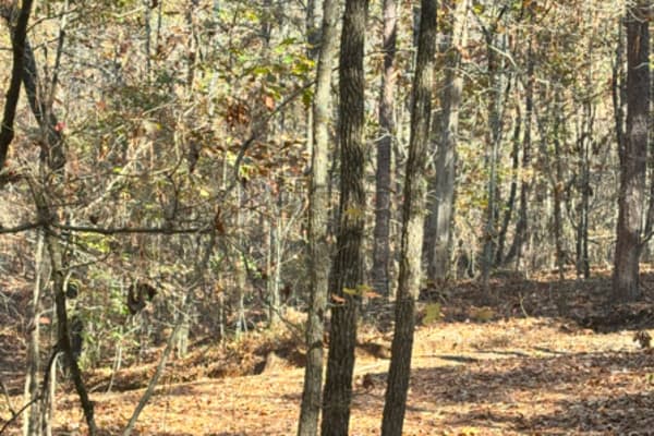
29
Trail 29 is a dirt connector trail from Trail 24 to Trail 30. It has one tight corner in it, I wouldn't take a vehicle over 100 inches through it, but this is a very short track. You can also take Trail 21 to get to the same area, and it is a little wider.
Learn more about 29
18
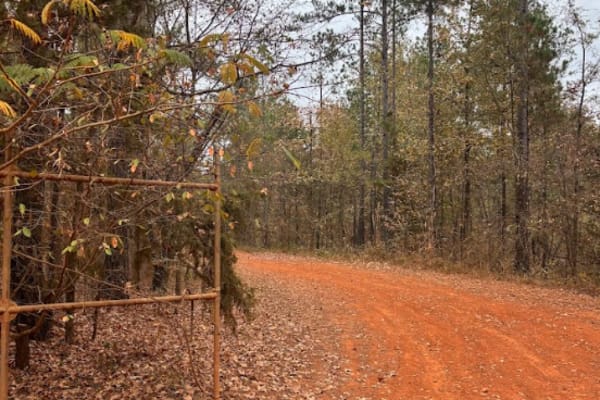
This is a main road that goes around the whole outside of the grid. This trail connects you to all of the trails in the park. There is no difficulty on this route, but you do need to follow the speed limit posted, 15 miles per hour, because of safety and wild animals. There are a lot of intersection...
Learn more about 18
27A
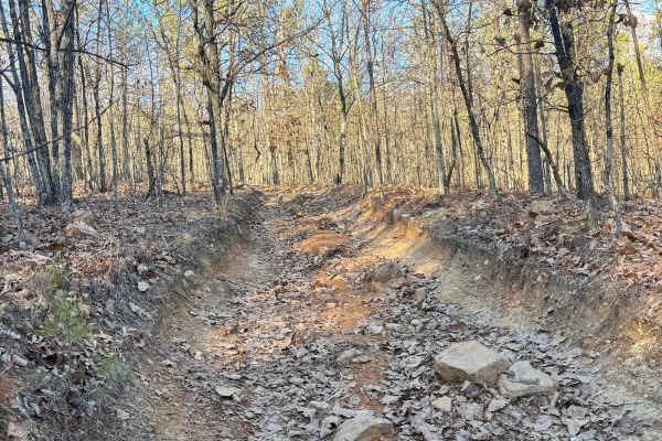
Trail 27 was an easier trail with some tight areas to work around trees. This is a bypass trail for trail 27, but difficulty-wise they are pretty even, other than weaving around trees. There are no ruts or rock obstacles to get through this trail. It connects Trail 24 to Trail 30.
Learn more about 27A
22
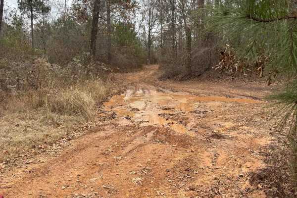
Trail 22 was a fairly easy trail with multiple other trail crossings along the route. There was one good hill climb area around the middle part of the trail where Trail 57 intersects with it. Not anything that has to be completed, but it is an area to play on. Trail 22 has no mandatory hill climbs i...
Learn more about 22
20 Main
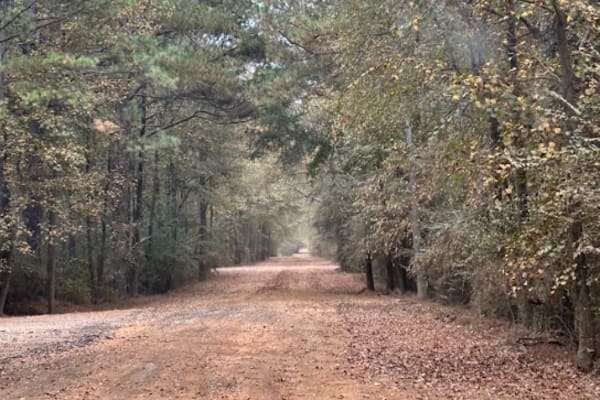
This trail is mostly gravel and dirt road. The speed limit is 15 mph and is regulated by park security. This trail will take you from the main office to the left and right side of the grid. You will take this route to get to any of the rental bunkers, or campsites.
Learn more about 20 Main
1
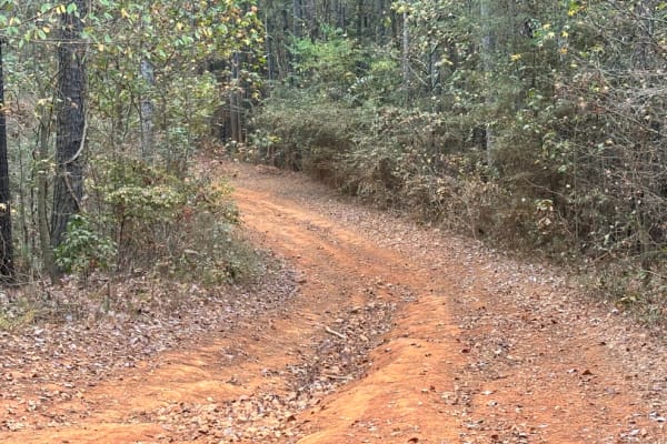
This main road houses two rental camp spots and rented bunkers along its path. It connects the front of the park, Trail 20, to Trail 18, which goes all the way around the grid. This trail also takes you to Clay Hill, and trail 31. This trail is more dirt than it is gravel, and only houses two bunker...
Learn more about 1
304
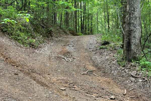
Trail 304 was an easier trail with a couple of rock obstacles and a couple of ruts that were about 2-3 feet tall. There are a couple of muddy areas to work through. When you get towards the end, there is a y split, you will want to keep left up the rutted out path, rather than the right side.
Learn more about 304
2
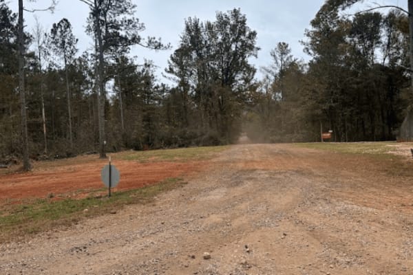
This main road houses several rental camp spots and rented bunkers along its path. It connects the front of the park, Trail 20, to the back of the grid, Trail 18. It also intersects with Trail 19 at around the midway point.
Learn more about 2
Cell Tower Dead End
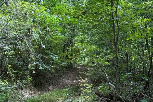
This trail is by the cell tower, and is another way that used to fully take you up to the cell tower. This is now a dead-end trail, but it does have a lot of dirt bike trails around it. This trail is all deep in the woods with some tight areas to go around trees. The trail is somewhat overgrown at t...
Learn more about Cell Tower Dead End
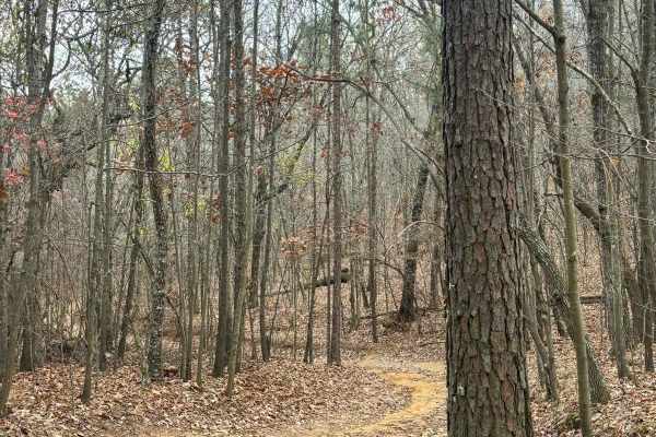
26
Trail 26 is a connector trail from the 5 hills climb area to Trail 30. Trail 26 is fairly easy with no very steep grades or tight spots. This is a shorter trail that is all dirt. It is a connector trail from 5 hills climbing area to a midpoint spot along the west side of Trail 30.
Learn more about 26
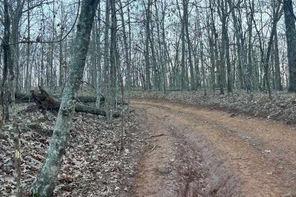
32
Trail 32 was mostly flat with no really any difficult areas with obstacles. This trail connects Trail 30 to Trail 33. This is an easy route to take to get back to the parking lot if you are hauling a broken machine or need to get off of Trail 30 quickly.
Learn more about 32
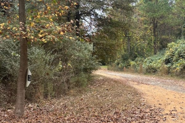
3
This main road houses several rental camp spots and rented bunkers along its path. It connects the front of the park, Trail 20, to the back of the grid, Trail 18. It also intersects with Trail 19 at around the midway point.
Learn more about 3
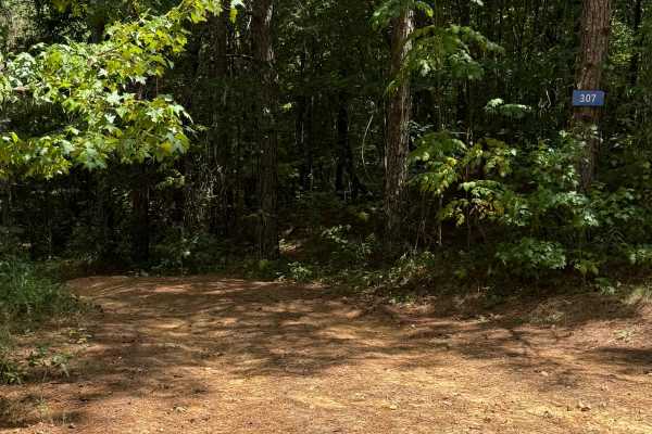
307
Trail 307 is a wooded route with several off-camber sections and a couple of switchbacks. Some ruts reach about two feet deep but can be straddled to cross, and there are no major rock or mud obstacles along the way.
Learn more about 307
301
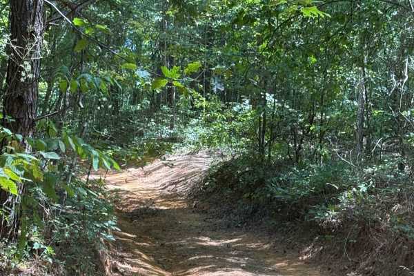
Trail 301 is a very long trail that connects you to a lot of shorter, harder trails. It has a lot of off-camber areas and some large step-down ledges that are one and two feet tall. There are some mud holes along this route that aren't very deep. Some ruts are one and two feet deep as well.
Learn more about 301
4
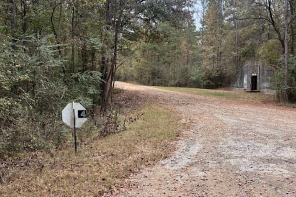
This main road houses several rental camp spots and rented bunkers along its path. It connects the front of the park, Trail 20, to the back of the grid, Trail 18. It also intersects with Trail 19 at around the midway point.
Learn more about 4
406B
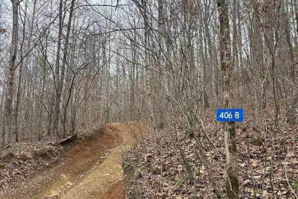
Trail 406B was a short trail that takes you to the bottom of Lunchtime. This is where you start Lunchtime, which is a difficult rock climb trail with steep grades, but trail 406b is not difficult, and all dirt. There was no major rock obstacles or mud holes along this trail.
Learn more about 406B
406A
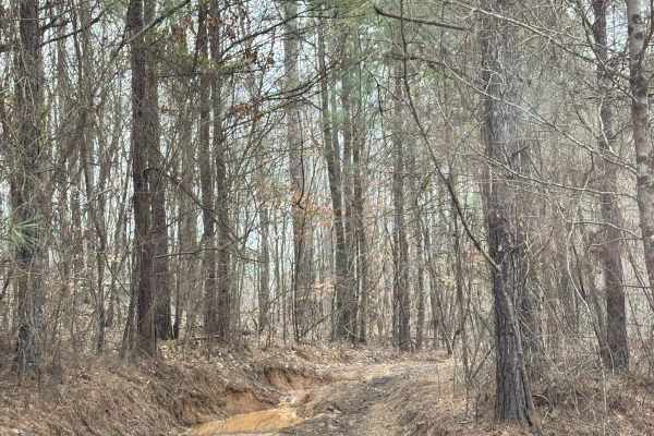
Trail 406A is best started from the top of Hagans Hill, but can be started down the trail a little further on 406, but there is a switchback to turn to keep on trail 406A, which can be tighter in larger vehicles. There are some deep ruts on either side of the trail, but our large vehicle was able to...
Learn more about 406A
Beginner ATV trails near Cahaba Heights, Alabama
Explore ATV-friendly trails near you. These trails are accessible for vehicles up to 50 inches wide, perfect for ATVs and smaller off-road machines.
29
Trail 29 is a dirt connector trail from Trail 24 to Trail 30. It has one tight corner in it, I wouldn't take a vehicle over 100 inches through it, but this is a very short track. You can also take Trail 21 to get to the same area, and it is a little wider.
Learn more about 29
18
This is a main road that goes around the whole outside of the grid. This trail connects you to all of the trails in the park. There is no difficulty on this route, but you do need to follow the speed limit posted, 15 miles per hour, because of safety and wild animals. There are a lot of intersection...
Learn more about 18
27A
Trail 27 was an easier trail with some tight areas to work around trees. This is a bypass trail for trail 27, but difficulty-wise they are pretty even, other than weaving around trees. There are no ruts or rock obstacles to get through this trail. It connects Trail 24 to Trail 30.
Learn more about 27A
22
Trail 22 was a fairly easy trail with multiple other trail crossings along the route. There was one good hill climb area around the middle part of the trail where Trail 57 intersects with it. Not anything that has to be completed, but it is an area to play on. Trail 22 has no mandatory hill climbs i...
Learn more about 22
Beginner UTV/side-by-side trails near Cahaba Heights, Alabama
Find UTV and side-by-side trails near you. These trails accommodate vehicles up to 60 inches wide, ideal for UTVs, side-by-sides, and wider off-road rigs.
29
Trail 29 is a dirt connector trail from Trail 24 to Trail 30. It has one tight corner in it, I wouldn't take a vehicle over 100 inches through it, but this is a very short track. You can also take Trail 21 to get to the same area, and it is a little wider.
Learn more about 29
18
This is a main road that goes around the whole outside of the grid. This trail connects you to all of the trails in the park. There is no difficulty on this route, but you do need to follow the speed limit posted, 15 miles per hour, because of safety and wild animals. There are a lot of intersection...
Learn more about 18
27A
Trail 27 was an easier trail with some tight areas to work around trees. This is a bypass trail for trail 27, but difficulty-wise they are pretty even, other than weaving around trees. There are no ruts or rock obstacles to get through this trail. It connects Trail 24 to Trail 30.
Learn more about 27A
22
Trail 22 was a fairly easy trail with multiple other trail crossings along the route. There was one good hill climb area around the middle part of the trail where Trail 57 intersects with it. Not anything that has to be completed, but it is an area to play on. Trail 22 has no mandatory hill climbs i...
Learn more about 22
The onX Offroad Difference
onX Offroad combines trail photos, descriptions, difficulty ratings, width restrictions, seasonality, and more in a user-friendly interface. Available on all devices, with offline access and full compatibility with CarPlay and Android Auto. Discover what you're missing today!
Open Trail Map