
Beginner Off-Road Trails
Near Brockway, Pennsylvania
Explore All Beginner Trails Near Brockway, Pennsylvania
Beginner Off-Road Trails Near Brockway, Pennsylvania
Discover the best beginner-friendly off-road trails near you. These easier, lower-rated trails are a great place to start — browse trail maps, check difficulty ratings, and find your next adventure.
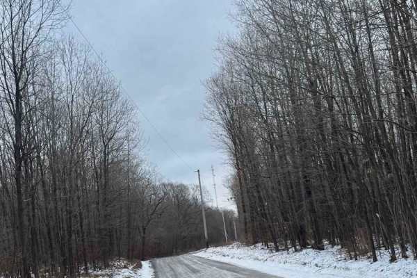
Countyline Road
Countyline Road is a graded gravel road. It is an easy ride in the summer months, however there is no winter maintenance. During times of rain, snow, and ice the road will become harder to travel on. Countyline Road is within State Game Land 077. On the west end of the road, right of PA Route 219. I...
Learn more about Countyline Road
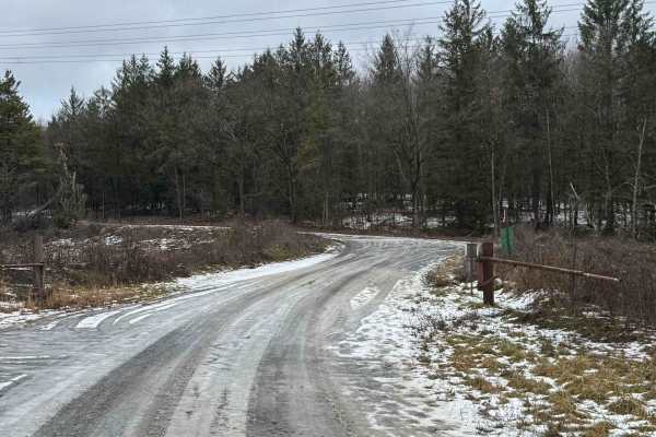
East Slab Run Road
East Slab Run Road is a graded gravel and dirt road. It is a dead-end road with plenty of room to turn around. It is an easy ride in the summer months, however there is no winter maintenance. During times of rain, snow, and ice the road will become harder to travel on. East Slab Run Road is within S...
Learn more about East Slab Run Road
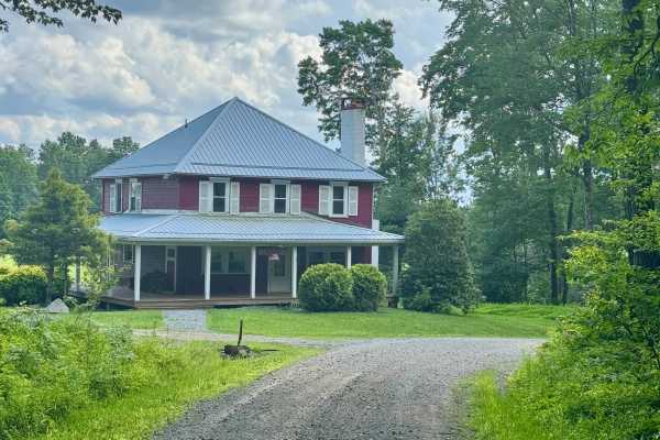
McNeil Station Road
This is a nice route with some gentle elevation changes, and it also features a good motorized campsite (reservation required). Combine this road with any of the other forest roads in this state forest tract for a peaceful and relaxing tour of this area south of the Clarion River. There are two quai...
Learn more about McNeil Station Road
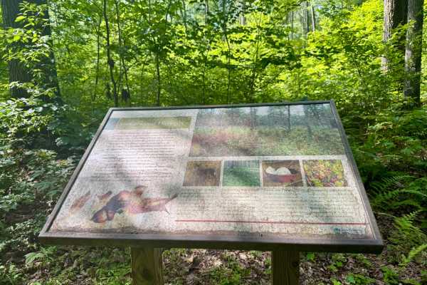
Clear Run Road
This trail connects the unpaved Jimtown Road to the west with Firetower Road to the east, both located within the state forest. Two designated drive-in campsites are available along the route; reservations are required through the Pennsylvania State Park website. Near the eastern end, an interpretiv...
Learn more about Clear Run Road
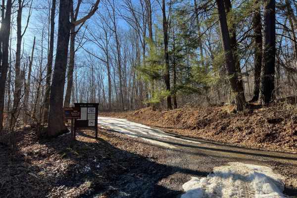
Nolan Road
Nolan Road is an easy, smooth gravel road in Moshannon State Forest that connects from Route 153 to Mountain Run Road and provides access to Evans Fire Road. It is always open to Evans Fire Road; there is a seasonal gate just beyond the intersection during camp season for the Boy Scout camp at the s...
Learn more about Nolan Road
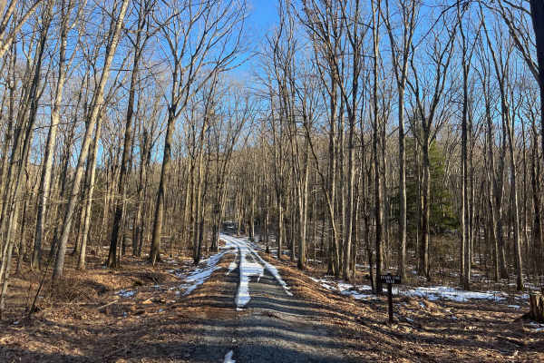
Evans Fire Road
Evans Fire Road is a relatively smooth and wide gravel road in Moshannon State Forest, connecting Nolan Road to Mountain Run Road. At the road's peak elevation, there is a beautiful view to the west and a bench to stop and enjoy a sunset. The southern end of the road is more densely wooded with a st...
Learn more about Evans Fire Road
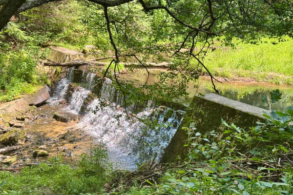
Callen Run Road
This is a scenic and remote trail. Combined with some of the other local trails and attractions, this is a very nice ride. At the north end, there's access to the Clarion River, and to the south, it connects to two other forest roads in Clear Creek State Forest. There is a nice little dam on the Cal...
Learn more about Callen Run Road
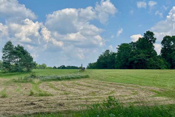
Firetower Road
From the rolling fields to the south to the forest on the north end, this is a very pleasant unpaved road. If coming from Interstate 80, this may be how you enter this forest, especially if camping in this tract. Get gas before heading into the forest this way. The Love's truck stop off Interstate 8...
Learn more about Firetower Road
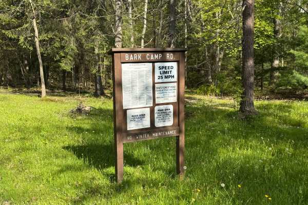
Bark Camp Road
Bark Camp Road is primarily a graded gravel road. It is the main connector between PA State Routes 153 and 255. It is an easy ride in the summer months; however, there is no winter maintenance. During times of rain, snow, and ice, the road can become rutted and harder to travel on. Bark Camp Road is...
Learn more about Bark Camp Road
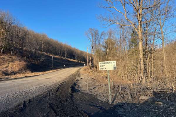
Buskirk Road
Buskirk Road in Moshannon State Forest is an unpaved and well-traveled route between Moose Grade Road (just off 153) and Tyler Road. There is a relatively long, steep hill at the southern end, which has one near-switchback turn. The road is smooth gravel and wide enough to pass carefully throughout....
Learn more about Buskirk Road
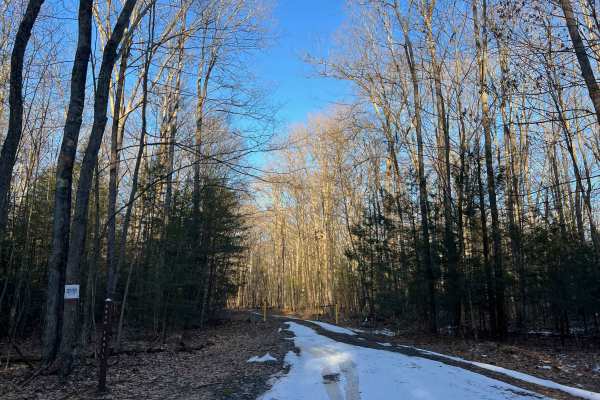
Snow Trail
Snow Trail is a seasonal access road in Moshannon State Forest, generally open from early October to late January. This is a dirt trail with little to no improvements or maintenance. Expect puddles, ruts, and some mud if wet, as well as possible limbs and branches. During the winter, there will like...
Learn more about Snow Trail
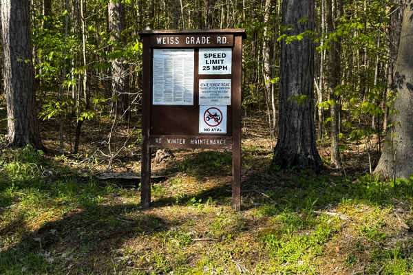
Weiss Grade Road
Weiss Grade Road is a 3.5-mile out-and-back graded gravel and ungraded dirt road. It is the main access road to the parking area for State Game Lands 331. It is an easy ride in the summer months; however, there is no winter maintenance. During times of rain, snow, and ice, the road can become rutted...
Learn more about Weiss Grade Road
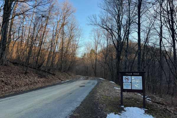
Tyler Road
Tyler Road in Moshannon State Forest is an unpaved and well-traveled route between the small town of Tyler and McGeorge Road. There is a long, steep hill at the west (town of Tyler) end of the road. The hill section is narrow and is a shelf road. The road is smooth gravel and wide enough to pass car...
Learn more about Tyler Road
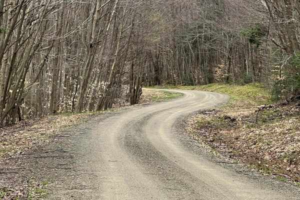
FR228 - Zimmerman Fire Tower
Zimmerman Fire Tower Road is a graded dirt/gravel track through the Allegheny National Forest. The tower was removed in the 1990s but the location is still evident. The route is flat to gently rolling with open woods and multiple close-running streams, providing a variety of woodland scenery. Hardwo...
Learn more about FR228 - Zimmerman Fire Tower
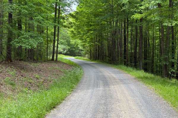
Reservoir - FS 349
Reservoir (FS 349) starts out a s gravel packed surface and turns into dirt surface. The ride is nice and there is close bushes along the roads edge. At the end is a turnaround where you can get a few vehicles in for camping. This road is open yearlong to high clearance vehicle only. Accessibility: ...
Learn more about Reservoir - FS 349
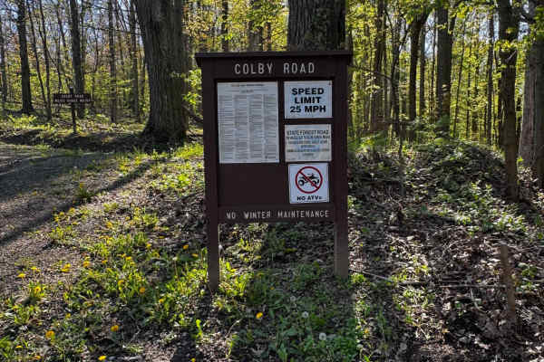
Colby Road
Colby Road is primarily a graded gravel road with some dirt sections. It is an easy ride in the summer months; however, there is no winter maintenance. During times of rain, snow, and ice, the road can become rutted and harder to travel on. Colby Road is within Moshannon State Forest. There are nume...
Learn more about Colby Road
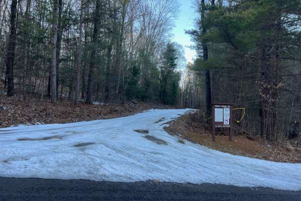
Moose Grade Road
Moose Grade Road, as the name suggests, is a steady grade from top to bottom. The road is windy and comfortably wide; however, its numerous blind turns should be approached with caution. There is a large quarry area along the route, as well as several opportunities to view the valley to the north we...
Learn more about Moose Grade Road
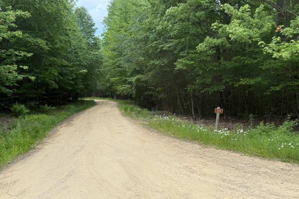
Irwin Run - FS 343
Irwin Run (FS 343) is a dirt-packed surface road. This is a very nice out-and-back drive. This road is open year-round to highway-legal vehicles only. Accessibility: Like many forest roads, its condition can vary, and it is best to check the Allegheny National Forest Motor Vehicle Use Map (MVUM) for...
Learn more about Irwin Run - FS 343
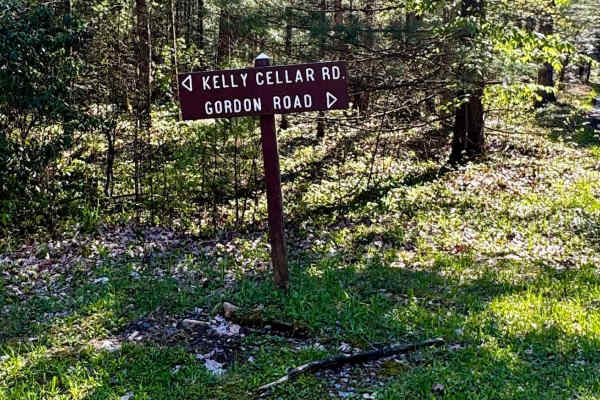
Gordon Road
Gordon Road is primarily a graded gravel road. It is an easy ride in the summer months; however, there is no winter maintenance. During times of rain, snow, and ice, the road can become rutted and harder to travel on. Gordon Road is within Moshannon State Forest. There are numerous spots to stop alo...
Learn more about Gordon Road
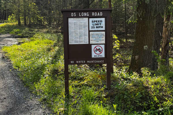
Os Long Road
Os Long Road is primarily a graded gravel road. It is a short major access road to this area from PA State Route 153 if you are coming from the north. It is an easy ride in the summer months; however, there is no winter maintenance. During times of rain, snow, and ice, the road can become rutted and...
Learn more about Os Long Road
Beginner ATV trails near Brockway, Pennsylvania
Explore ATV-friendly trails near you. These trails are accessible for vehicles up to 50 inches wide, perfect for ATVs and smaller off-road machines.
Firetower Road
From the rolling fields to the south to the forest on the north end, this is a very pleasant unpaved road. If coming from Interstate 80, this may be how you enter this forest, especially if camping in this tract. Get gas before heading into the forest this way. The Love's truck stop off Interstate 8...
Learn more about Firetower Road
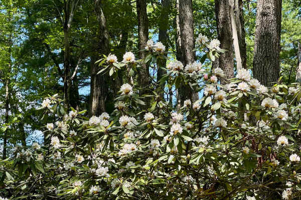
Spring Creek Rd
This forest road is the unpaved connector between the western and eastern parts of the Clear Creek & Callen Run tract of Clear Creek State Forest. It connects to PA 949 at either end. Though this featured route ends at the boundary for State Game Land 54 on the eastern end, it does go through. The L...
Learn more about Spring Creek Rd
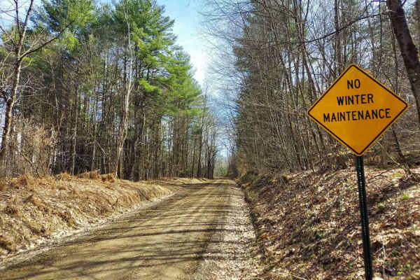
Smith Hill Road
Smith Hill Road is a multi-use road open to ATV and SXS traffic that is not maintained in the winter, offering a scenic ride through a diverse forest landscape. Along its length, you’ll travel through a mixed hardwood and conifer forest with occasional views down into Caledonia Run, adding some grea...
Learn more about Smith Hill Road
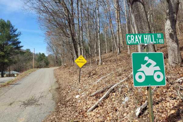
Gray Hill Road
Gray Hill Road is an ATV/SXS legal route that climbs high onto the hilltops through State Game Lands, offering unique views of the surrounding landscape. Much of this road follows a shelf-style layout, with a steep drop-off along one side. The elevation provides some truly spectacular views, especia...
Learn more about Gray Hill Road
Beginner UTV/side-by-side trails near Brockway, Pennsylvania
Find UTV and side-by-side trails near you. These trails accommodate vehicles up to 60 inches wide, ideal for UTVs, side-by-sides, and wider off-road rigs.
Firetower Road
From the rolling fields to the south to the forest on the north end, this is a very pleasant unpaved road. If coming from Interstate 80, this may be how you enter this forest, especially if camping in this tract. Get gas before heading into the forest this way. The Love's truck stop off Interstate 8...
Learn more about Firetower Road
Spring Creek Rd
This forest road is the unpaved connector between the western and eastern parts of the Clear Creek & Callen Run tract of Clear Creek State Forest. It connects to PA 949 at either end. Though this featured route ends at the boundary for State Game Land 54 on the eastern end, it does go through. The L...
Learn more about Spring Creek Rd
Smith Hill Road
Smith Hill Road is a multi-use road open to ATV and SXS traffic that is not maintained in the winter, offering a scenic ride through a diverse forest landscape. Along its length, you’ll travel through a mixed hardwood and conifer forest with occasional views down into Caledonia Run, adding some grea...
Learn more about Smith Hill Road
Gray Hill Road
Gray Hill Road is an ATV/SXS legal route that climbs high onto the hilltops through State Game Lands, offering unique views of the surrounding landscape. Much of this road follows a shelf-style layout, with a steep drop-off along one side. The elevation provides some truly spectacular views, especia...
Learn more about Gray Hill Road
The onX Offroad Difference
onX Offroad combines trail photos, descriptions, difficulty ratings, width restrictions, seasonality, and more in a user-friendly interface. Available on all devices, with offline access and full compatibility with CarPlay and Android Auto. Discover what you're missing today!
Open Trail Map