
Beginner Off-Road Trails
Near Bogota, Tennessee
Explore All Beginner Trails Near Bogota, Tennessee
Beginner Off-Road Trails Near Bogota, Tennessee
Discover the best beginner-friendly off-road trails near you. These easier, lower-rated trails are a great place to start — browse trail maps, check difficulty ratings, and find your next adventure.

I-155 Tunnel Crossing
The I-155 Tunnel Crossing is based off of the Pemiscot County Road 362 and 534. Together the two roads form a gravel loop to connect with Missouri Route Y and Missouri Route 84. The gravel road leads you to the river levee's edge giving you access to many great fishing holes and Missouri low land (s...
Learn more about I-155 Tunnel Crossing
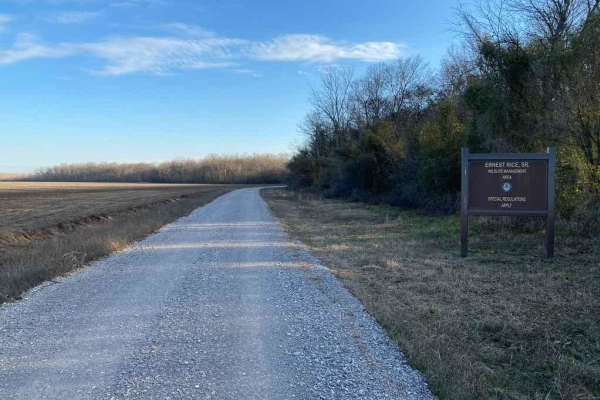
Ernest Rice Road
The Ernest Rice Road is a gravel access road to the Wildlife Management Area of the same name. It features an easy to traverse gravel road on the northern side of the area, expect course gravel in sections, potholes, and mild water collection in spots, the parking areas are also a little soft where ...
Learn more about Ernest Rice Road
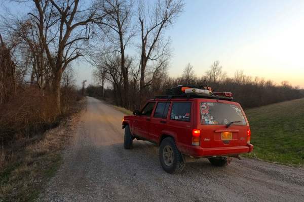
Wolf Bayou Road
Wolf Bayou Road is a gravel access road to the Wolf Bayou section of the greater Black Island Conservation Area, managed by the Missouri Department of Conservation. The Wolf Bayou is a fish lover's and waterfowl hunter's little hidden gem, featuring several water channels to access the rest within t...
Learn more about Wolf Bayou Road
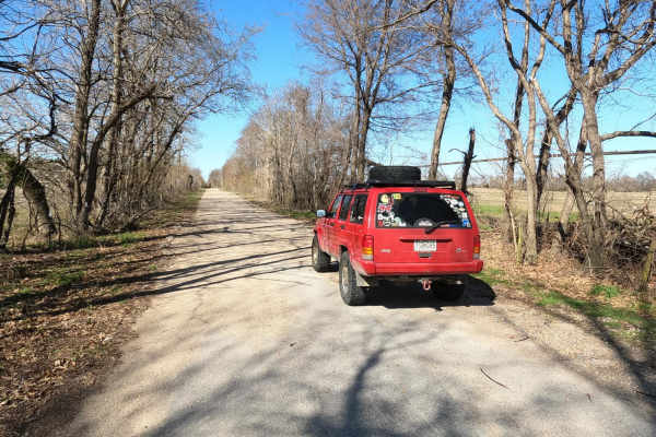
Scott County Road 405
The Scott County Road 405, is a sand flat road in lower Scott County, Missouri, which shows one of the more unique terrains the state has to offer. The road features a few turns and bridges crossing over water-diverting channels of the area. The road is mostly sand with gravel near each end, at time...
Learn more about Scott County Road 405
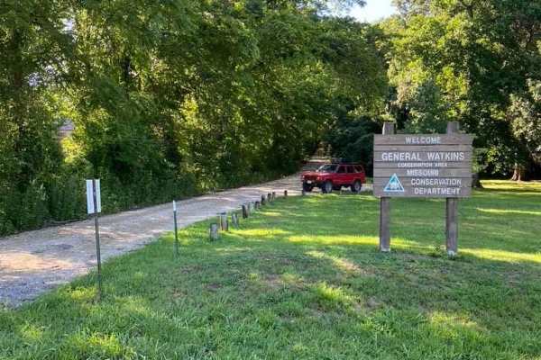
General Watkins Cemetery Road
The General Watkins Cemetery Road is the farthest west entrance into the General Watkins Conservation Area off US Route 61. It is a gravel road that leads up a hillside to the ridge top where General Watkins' resting area is located, as well as a large parking area and the point where the 1.8-mile h...
Learn more about General Watkins Cemetery Road
General Watkins Park Road
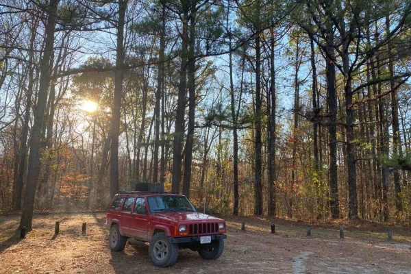
General Watkins Park Road is a mile-long gravel road leading into the General Watkins Missouri Conservation Area. This road takes you off US-61 straight into some gorgeous wilderness and hiking areas, with a great area to set up camp for a night. The road is light and easy, but traverses a few mild-...
Learn more about General Watkins Park Road
Melton
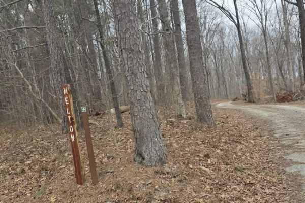
Melton Trail is an easy mixed-surface route featuring gravel and dirt with a solid, well-maintained base. Recent grading has introduced sections of larger gravel and fresh dirt, providing consistent traction under normal conditions. The trail experiences moderate elevation changes, gaining approxima...
Learn more about Melton
Island Forty Road
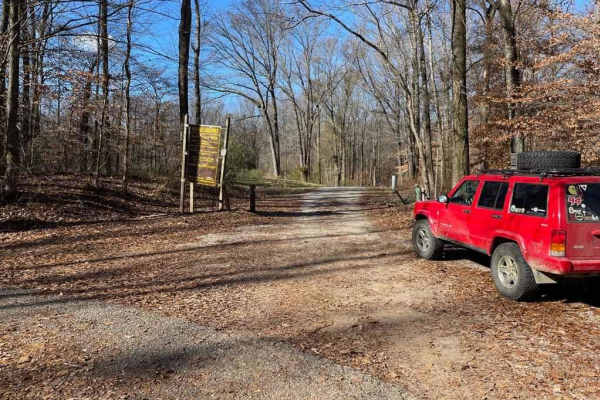
The Island Forty Road, is a dirt based road that traverses into the Shelby Wildlife Management Area which is part of the greater Meeman-Shelby State Park. The road is mostly dirt with a few patches of old gravel here and there, there is high potential the road will easily softened when rain or wet c...
Learn more about Island Forty Road

Thorn
Thorn Trail is a mixed gravel and dirt route that offers a scenic and slightly more engaging drive for those exploring the area. The surface varies between compacted gravel and dirt, with sections that can become soft depending on recent weather. A large open expanse along the trail provides an exce...
Learn more about Thorn
Woods
Woods Trail is a narrow gravel route characterized by large, chunky rocks that create a noticeably loose driving surface. Traction can vary throughout the trail due to the size and depth of the gravel, requiring steady throttle control and attention to steering input. The road narrows to a single la...
Learn more about Woods

Shiloh Trail
Shiloh Trail is an easy mixed-surface route located within Natchez Trace State Park, offering a quiet drive through wooded terrain with gentle elevation changes. The surface consists of dirt, gravel, and occasional sandy stretches, creating a varied but approachable experience for most drivers. Larg...
Learn more about Shiloh Trail
Cub Lake Trail
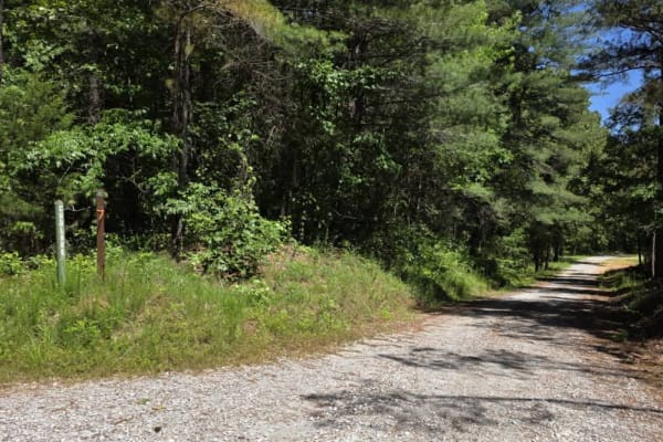
Tucked within the serene expanse of Natchez State Forest, this off-road trail offers a peaceful drive ideal for beginners and those looking for a more relaxed adventure. The road is well-graded with dirt and gravel, making for smooth travel without technical obstacles. Towering mature trees line the...
Learn more about Cub Lake Trail
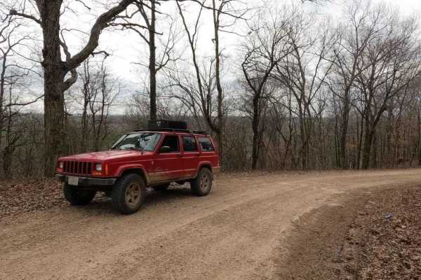
Goose Pond Hills Road
Goose Pond Hills Road is a gravel back road that leads through the Goose Pond Hills northwest of Advance Missouri. The road dances on the Bollinger and Stoddard County lines, featuring Bollinger County 652, and Stoddard County 206 and 211. At 37.12510, -89.94084 there is a decent overlook at the tre...
Learn more about Goose Pond Hills Road
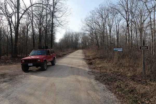
Oak Tower FSR 3104
Oak Tower FSR 3104 is a mild scenic gravel road through the Poplar Bluff sector of Mark Twain National Forest. The main focus of the Oak Tower is the Tower it provides access to, the tower still stands roughly .5 miles into the trail. Sadly it is no longer climbable but remains as a landmark in the ...
Learn more about Oak Tower FSR 3104
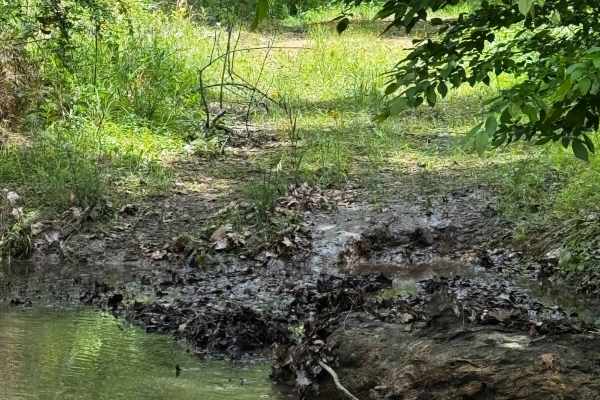
Hillside Adventure
This is, in my opinion, one of the coolest trails for full-size rigs — or really any rig. It offers beautiful deep-forest views, with obstacles along the way ranging from rocks and creek crossings to mud holes, making it a fun trail to run. Be mindful of others, as this is a two-way trail that goes ...
Learn more about Hillside Adventure
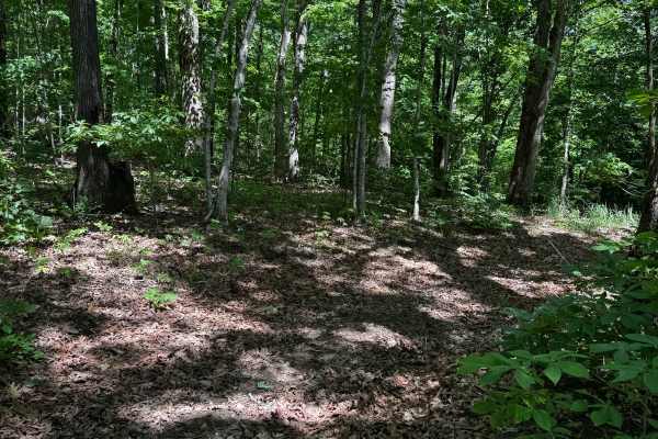
Hillside 69.5
Spurring right off Hill Climb Back Side, this cut trail takes you to the start of Hillside 69. Although it’s a shorter track, it still offers beautiful scenery and a few small obstacles along the way to keep things a little fun. Be mindful of the ruts, as they can become very slick.
Learn more about Hillside 69.5
Hillside 70
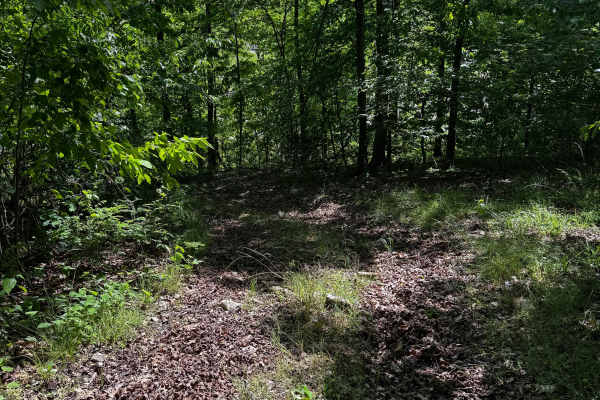
Spurring right off the Hillside Entrance Trail, this route leads up to the three-way intersection for 69 and 69.5. It features fun forest scenery, narrow tracks with small ruts, and a couple of mud holes. Be mindful of others on this trail, as it can be a little narrow in some areas.
Learn more about Hillside 70
Main Loop
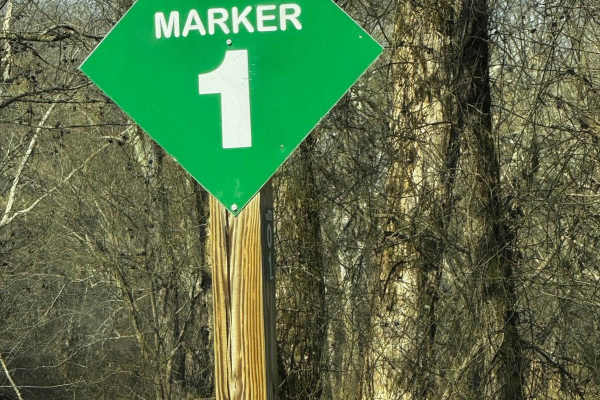
The main loop at Brick's off-road park is labeled starting with mile marker 1 and ending with mile marker 20 it's labeled for emergency and for navigating purposes. Along the way, you'll come across low-water bridges and potentially muddy tracks but this loop will take you around the park to the cam...
Learn more about Main Loop
Hillside 69
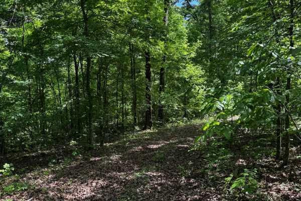
The Hillside area contains a few different “main” trails, with this one being one of the longer routes stretching from the northern gate almost down to the Hillside entrance trail. It features beautiful forest scenery and a few fun obstacles along the way. Be mindful of others in this area, as there...
Learn more about Hillside 69
Hillside 70.5
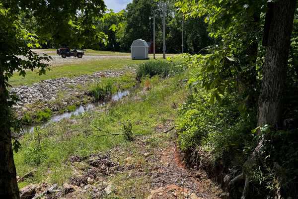
Starting at the bottom, almost as soon as you pull into the park after passing through the main gate, you’ll be greeted by some rocks and a bit of an uphill climb into the hillside area. This continues along the main hillside section of the trail. It’s a personal favorite in the park and is beautifu...
Learn more about Hillside 70.5
Beginner ATV trails near Bogota, Tennessee
Explore ATV-friendly trails near you. These trails are accessible for vehicles up to 50 inches wide, perfect for ATVs and smaller off-road machines.
Melton
Melton Trail is an easy mixed-surface route featuring gravel and dirt with a solid, well-maintained base. Recent grading has introduced sections of larger gravel and fresh dirt, providing consistent traction under normal conditions. The trail experiences moderate elevation changes, gaining approxima...
Learn more about Melton
Thorn
Thorn Trail is a mixed gravel and dirt route that offers a scenic and slightly more engaging drive for those exploring the area. The surface varies between compacted gravel and dirt, with sections that can become soft depending on recent weather. A large open expanse along the trail provides an exce...
Learn more about Thorn
Woods
Woods Trail is a narrow gravel route characterized by large, chunky rocks that create a noticeably loose driving surface. Traction can vary throughout the trail due to the size and depth of the gravel, requiring steady throttle control and attention to steering input. The road narrows to a single la...
Learn more about Woods
Shiloh Trail
Shiloh Trail is an easy mixed-surface route located within Natchez Trace State Park, offering a quiet drive through wooded terrain with gentle elevation changes. The surface consists of dirt, gravel, and occasional sandy stretches, creating a varied but approachable experience for most drivers. Larg...
Learn more about Shiloh Trail
Beginner UTV/side-by-side trails near Bogota, Tennessee
Find UTV and side-by-side trails near you. These trails accommodate vehicles up to 60 inches wide, ideal for UTVs, side-by-sides, and wider off-road rigs.
Melton
Melton Trail is an easy mixed-surface route featuring gravel and dirt with a solid, well-maintained base. Recent grading has introduced sections of larger gravel and fresh dirt, providing consistent traction under normal conditions. The trail experiences moderate elevation changes, gaining approxima...
Learn more about Melton
Thorn
Thorn Trail is a mixed gravel and dirt route that offers a scenic and slightly more engaging drive for those exploring the area. The surface varies between compacted gravel and dirt, with sections that can become soft depending on recent weather. A large open expanse along the trail provides an exce...
Learn more about Thorn
Woods
Woods Trail is a narrow gravel route characterized by large, chunky rocks that create a noticeably loose driving surface. Traction can vary throughout the trail due to the size and depth of the gravel, requiring steady throttle control and attention to steering input. The road narrows to a single la...
Learn more about Woods
Shiloh Trail
Shiloh Trail is an easy mixed-surface route located within Natchez Trace State Park, offering a quiet drive through wooded terrain with gentle elevation changes. The surface consists of dirt, gravel, and occasional sandy stretches, creating a varied but approachable experience for most drivers. Larg...
Learn more about Shiloh Trail
The onX Offroad Difference
onX Offroad combines trail photos, descriptions, difficulty ratings, width restrictions, seasonality, and more in a user-friendly interface. Available on all devices, with offline access and full compatibility with CarPlay and Android Auto. Discover what you're missing today!
Open Trail Map