
Beginner Off-Road Trails
Near Berlin, Georgia
Explore All Beginner Trails Near Berlin, Georgia
Beginner Off-Road Trails Near Berlin, Georgia
Discover the best beginner-friendly off-road trails near you. These easier, lower-rated trails are a great place to start — browse trail maps, check difficulty ratings, and find your next adventure.
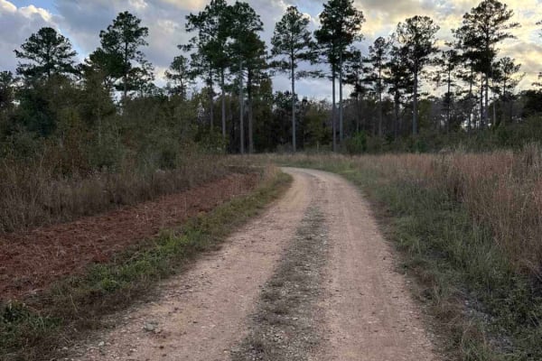
Mud Creek Road
The Mud Creek Road connects GA-62 at the north entrance and the Seven Bridge Road at the south end. The trail gives you access to the Gut Pit and several other trails in the Chickasawhatchee Wildlife Management Area. The road conditions are a mixture of packed sand, loose sand, and some deep holes t...
Learn more about Mud Creek Road
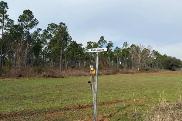
Flat Hole Loop
Flat Hole Loop runs through the southeastern quadrant of the Chickasawhatchee Wildlife Management Area (WMA). Only street-legal, registered, and licensed vehicles are permitted. Additionally, the Georgia Department of Natural Resources (GADNR) requires individuals to be in possession of the Georgia ...
Learn more about Flat Hole Loop
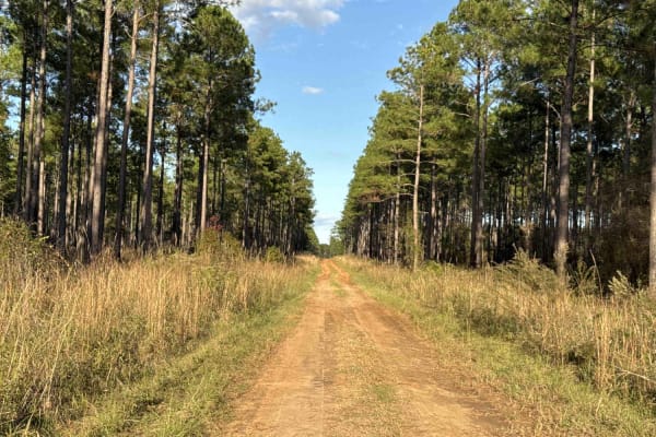
Pine Island Road
The Pine Island Road connects GA-62 at the north end and the Seven Bridge Road at the south end. The trail gives you access to the Mike Commander Shooting Range at the Chickasawhatchee Wildlife Management Area. The road conditions are a mixture of packed sand, loose sand, and some deep holes that ca...
Learn more about Pine Island Road
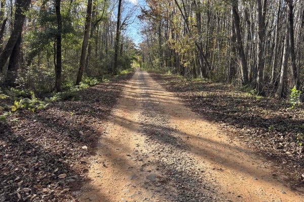
Chickasawhatchee Road
The Chickasawhatchee Road connects the north entrance at GA-62 and the west entrance at GA-37. The trail gives you access to the Campground and several other trails in the Chickasawhatchee Wildlife Management Area. The road conditions are a mixture of packed sand, loose sand and some deep holes that...
Learn more about Chickasawhatchee Road
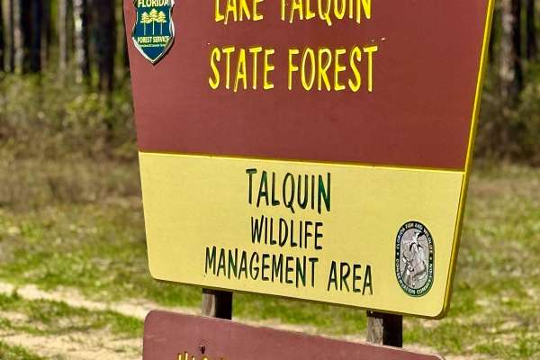
Turkey Flat Road
This freshly graded trail offers a smooth and easy ride, leading to a super cool 1800s-era cemetery on Florida State Forest land. Located within the Highway 20 Tract of the Lake Talquin State Forest, this area is rich in history and natural beauty. The surrounding forest provides a peaceful setting ...
Learn more about Turkey Flat Road
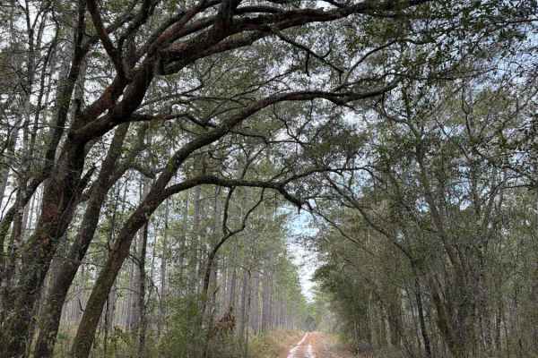
Black Top - FS 379
Black Top, also known as Apalachicola National Forest Road 379, connects US 319 at the west end and CR 363 at the east end. It takes you through the north-east part of the Apalachicola National Forest and gives you access to several trails in the area. The road conditions are a mixture of packed san...
Learn more about Black Top - FS 379
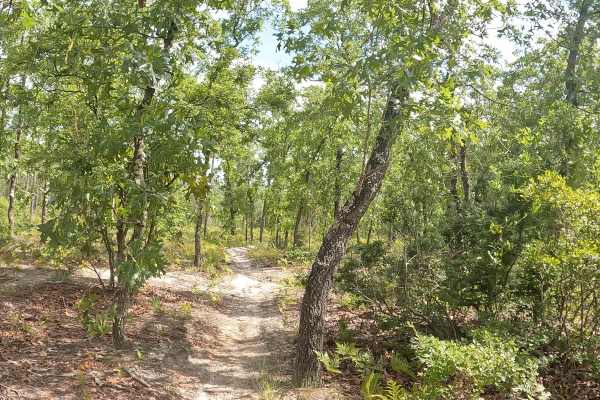
FS 12R
FS 14 is located within the Apalachicola National Forest. This bi-directional trail delivers maximum fun no matter which direction you ride, taking you deep into dense woods featuring small, rolling hills and incredibly sharp turns. Riders need to watch their speed closely, as the trail dips very qu...
Learn more about FS 12R
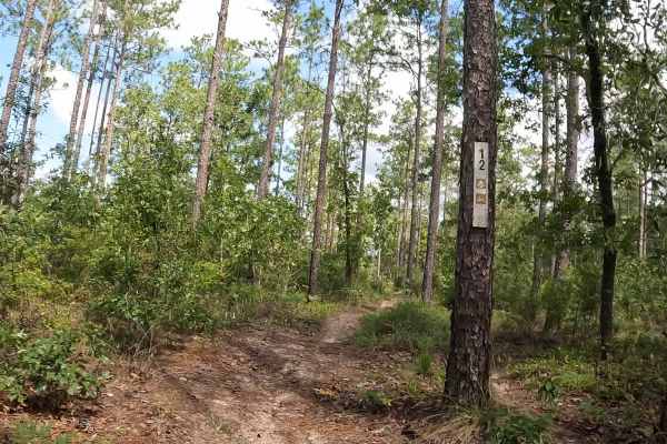
FS 12
FS 12 is located within the Apalachicola National Forest. While officially marked as a single-track trail, portions are wider. As you ride, the trail intersects with a powerline access road —keep a sharp lookout for ground posts in this area, and there are also no stop signs. The route also passes b...
Learn more about FS 12
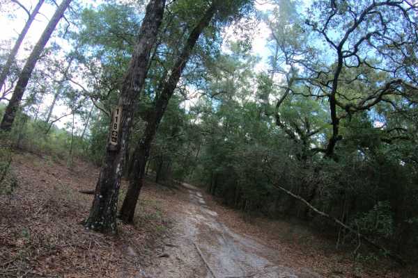
FS 11B
FS 11B is located within the Apalachicola National Forest. This bi-directional, 50-inch wide trail features a primarily flat terrain composed of smooth, hard-packed sand that makes for a fast and stable ride. While the route was originally designated for two-wheel dirt bikes only, it has since evol...
Learn more about FS 11B
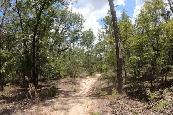
FS 11
FS 11 is located within the Apalachicola National Forest. This bi-directional trail delivers a tight, but not challenging, single-track experience packed with endless whoops and plenty of wide, sweeping turns with lots of forgiveness if you miss a turn. The terrain shifts continuously, transitioning...
Learn more about FS 11
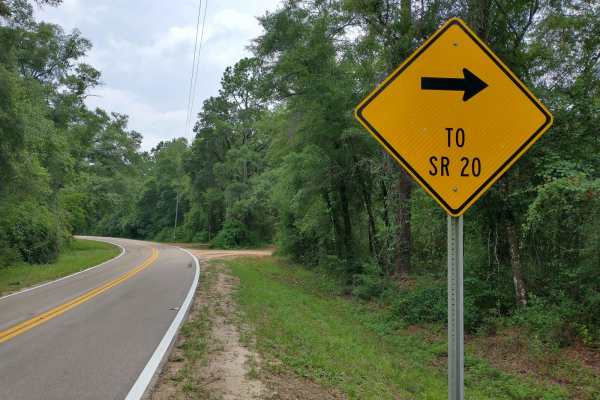
HW 20 Parrallel
Scenic Washboard dirt road running across the National Forest. During the Spring and Summer months a very beautiful green foliage can be seen. There are dozens of Florida butterflies, and other wildlife that to be seen in the area as well. Two built bridges on the West half of the trail allow access...
Learn more about HW 20 Parrallel
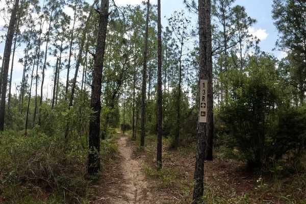
FS 13R
FS 13R is located in the scenic Apalachicola National Forest. This bi-directional trail features terrain changing from hard-pack sand to a softer, leafy woods dirt, with a canopy of tall trees lining either side of the path. It is a smooth, straightforward ride with no whoops and no berms to worry a...
Learn more about FS 13R
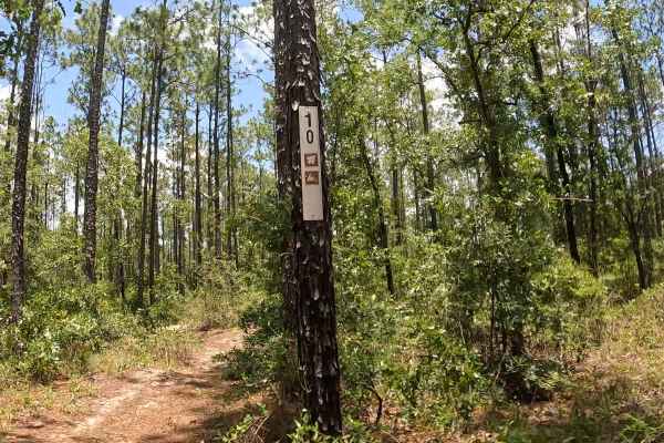
FS 10
FS 10 is located within the Apalachicola National Forest. Finding the trail can also be a bit tricky, as heavy vegetation and overgrowth often obscure the trail signage. While it is primarily a single-track trail, certain sections widen out significantly due to vandalism. Riders should also expect ...
Learn more about FS 10
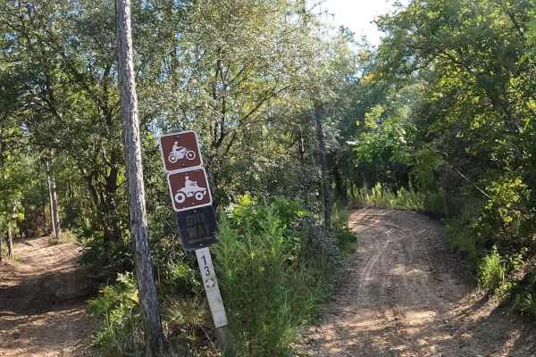
Forest Service 14
FS 14 consists of USFS 14a,14b 14r, and is located on the Apalachicola National Forest. This bi-directional single trail has many sharp turns, sandy berms, ups and downs, and plenty of whoops. From the parking lot, stay right as you enter the 50-inch trail. About a quarter of a mile on the left (no...
Learn more about Forest Service 14
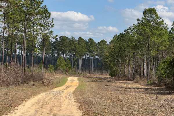
East Side Loop
The East Side loop is a combination of three trail segments making up the south, east, and north sections of the loop. The south segment is level packed dirt with a few shallow potholes that may hold water in wet weather. The east segment is also packed dirt with a few gentle grades. The north segme...
Learn more about East Side Loop
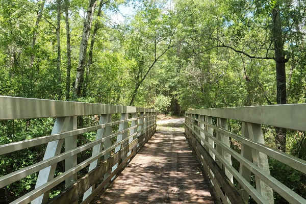
FS 10R
FS 10R is located in the Apalachicola National Forest. This bi-directional trail features hard-packed sand under a canopy of trees, with sweeping, wide turns and a beautiful bridge over Fisher Creek. Although there is currently no signage indicating the restriction, this former single-track has turn...
Learn more about FS 10R
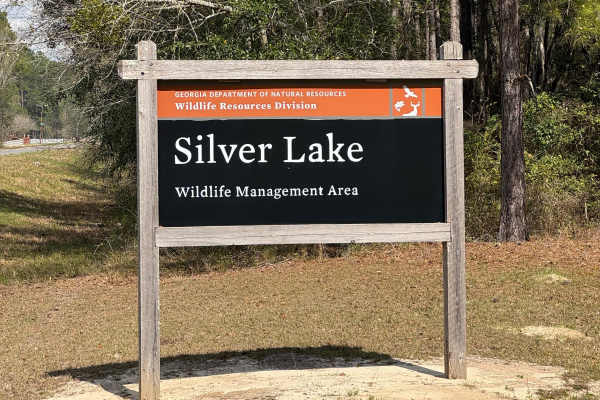
East Entrance Trail
East Entrance Trail is the primary entrance to the eastern side of the Silver Lake WMA. As with most Georgia WMAs, a valid hunting or fishing license is required to access the WMA property. The East End Trail is primarily packed dirt with a crushed rock surface. The trail is almost two vehicles wide...
Learn more about East Entrance Trail
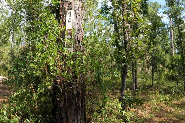
FS 14
FS 14 is located in the Apalachicola National Forest. This trail is not clearly marked. The terrain features a solid base of sand and hard-packed dirt. Riders should stay sharp—the trail is heavily peppered with lots of whoops, loose sand berms, low-hanging vines, and occasional fallen trees, which ...
Learn more about FS 14
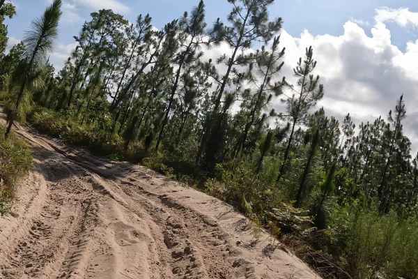
FS 13
FS 13 is located within the Apalachicola National Forest. This bi-directional, 50-inch trail primarily features white, hard-packed sand, though riders will encounter occasional sections of deeper, loose sand and prominent sandy berms. Because the trail lacks heavy tree coverage, the sandy terrain st...
Learn more about FS 13
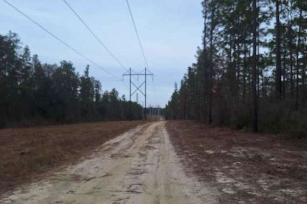
Freebirds North
This trail travels through Apalachicola National Forest. It gets a little technical as it gains elevation but there are adequate go-arounds for 2WD vehicles. After a brief crawl, the trail parallels some powerlines with a helping of sugar sand and then into some red clay roads that get quite soft af...
Learn more about Freebirds North
Beginner ATV trails near Berlin, Georgia
Explore ATV-friendly trails near you. These trails are accessible for vehicles up to 50 inches wide, perfect for ATVs and smaller off-road machines.
Mud Creek Road
The Mud Creek Road connects GA-62 at the north entrance and the Seven Bridge Road at the south end. The trail gives you access to the Gut Pit and several other trails in the Chickasawhatchee Wildlife Management Area. The road conditions are a mixture of packed sand, loose sand, and some deep holes t...
Learn more about Mud Creek Road
Pine Island Road
The Pine Island Road connects GA-62 at the north end and the Seven Bridge Road at the south end. The trail gives you access to the Mike Commander Shooting Range at the Chickasawhatchee Wildlife Management Area. The road conditions are a mixture of packed sand, loose sand, and some deep holes that ca...
Learn more about Pine Island Road
Chickasawhatchee Road
The Chickasawhatchee Road connects the north entrance at GA-62 and the west entrance at GA-37. The trail gives you access to the Campground and several other trails in the Chickasawhatchee Wildlife Management Area. The road conditions are a mixture of packed sand, loose sand and some deep holes that...
Learn more about Chickasawhatchee Road
Turkey Flat Road
This freshly graded trail offers a smooth and easy ride, leading to a super cool 1800s-era cemetery on Florida State Forest land. Located within the Highway 20 Tract of the Lake Talquin State Forest, this area is rich in history and natural beauty. The surrounding forest provides a peaceful setting ...
Learn more about Turkey Flat Road
Beginner UTV/side-by-side trails near Berlin, Georgia
Find UTV and side-by-side trails near you. These trails accommodate vehicles up to 60 inches wide, ideal for UTVs, side-by-sides, and wider off-road rigs.
Mud Creek Road
The Mud Creek Road connects GA-62 at the north entrance and the Seven Bridge Road at the south end. The trail gives you access to the Gut Pit and several other trails in the Chickasawhatchee Wildlife Management Area. The road conditions are a mixture of packed sand, loose sand, and some deep holes t...
Learn more about Mud Creek Road
Pine Island Road
The Pine Island Road connects GA-62 at the north end and the Seven Bridge Road at the south end. The trail gives you access to the Mike Commander Shooting Range at the Chickasawhatchee Wildlife Management Area. The road conditions are a mixture of packed sand, loose sand, and some deep holes that ca...
Learn more about Pine Island Road
Chickasawhatchee Road
The Chickasawhatchee Road connects the north entrance at GA-62 and the west entrance at GA-37. The trail gives you access to the Campground and several other trails in the Chickasawhatchee Wildlife Management Area. The road conditions are a mixture of packed sand, loose sand and some deep holes that...
Learn more about Chickasawhatchee Road
Turkey Flat Road
This freshly graded trail offers a smooth and easy ride, leading to a super cool 1800s-era cemetery on Florida State Forest land. Located within the Highway 20 Tract of the Lake Talquin State Forest, this area is rich in history and natural beauty. The surrounding forest provides a peaceful setting ...
Learn more about Turkey Flat Road
The onX Offroad Difference
onX Offroad combines trail photos, descriptions, difficulty ratings, width restrictions, seasonality, and more in a user-friendly interface. Available on all devices, with offline access and full compatibility with CarPlay and Android Auto. Discover what you're missing today!
Open Trail Map