
Beginner Off-Road Trails
Near Beavertown, Pennsylvania
Explore All Beginner Trails Near Beavertown, Pennsylvania
Beginner Off-Road Trails Near Beavertown, Pennsylvania
Discover the best beginner-friendly off-road trails near you. These easier, lower-rated trails are a great place to start — browse trail maps, check difficulty ratings, and find your next adventure.
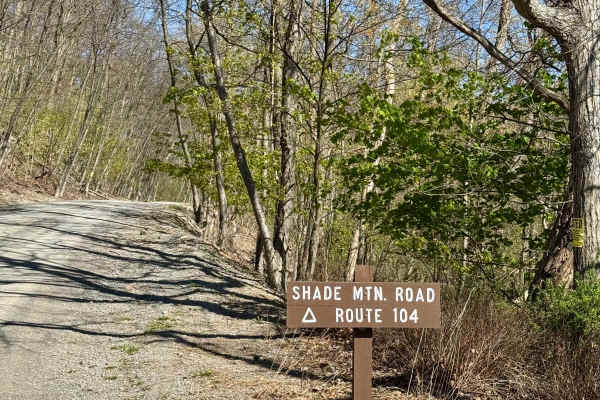
Shade Mountain Rd
Shade Mountain Road is unique for its length and the access it offers for motorcycles. The road itself is a fairly smooth gravel surface that runs along the ridge of the Shade Mountain from west to east. The steeper climb is from the west up to the ridge and the descent to the east is much more grad...
Learn more about Shade Mountain Rd
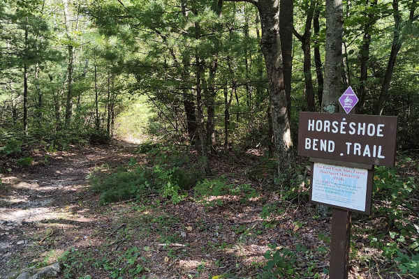
Horseshoe Bend Trail
Horseshoe Bend trail is another short but fun single-track trail. Starting from Hunter Road. It is very easy and relatively flat terrain, about halfway there's a section of rocky descent, which gets a little more difficult as you continue to descend out onto the main road. Try your skill by turning ...
Learn more about Horseshoe Bend Trail
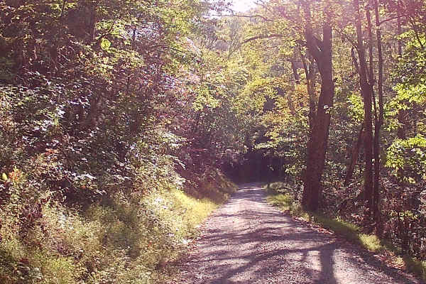
Breininger Gap Road
This trail is an in-and-out trail located in the Bald Eagle State Forest. It is a graded gravel road. There is one hiking trail Horseshoe Bend Trail. Enter this trail from Hunter Road. Easy Access and drivability during the warm months. There is no Winter Maintenance, so it may be more difficult dur...
Learn more about Breininger Gap Road
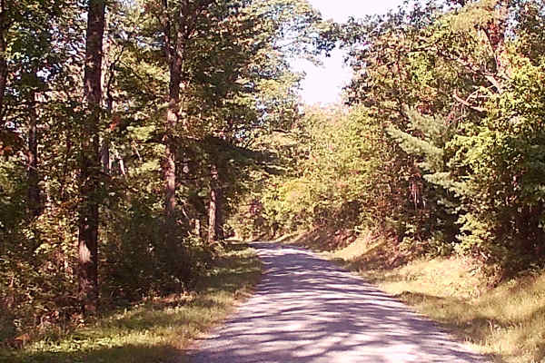
Timber Road
This trail is an in-and-out and comes off of Breininger Gap Road. The road parallels a running stream and has no hiking trails off of this road. It is a graded gravel road within the Bald Eagle State Forest. Easy access and drivability during the warm months, but it may be more difficult during wint...
Learn more about Timber Road
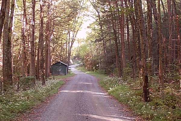
Short Mountain Road
This trail is an in-and-out trail off of Hunter Road. It is a graded gravel road within the Bald Eagle State Forest. There is a picnic area called Rock Spring picnic area. Two hiking trails are off this route: Cold Spring Trail and Little Mountain Trail. Easy access and drivability during the warm m...
Learn more about Short Mountain Road
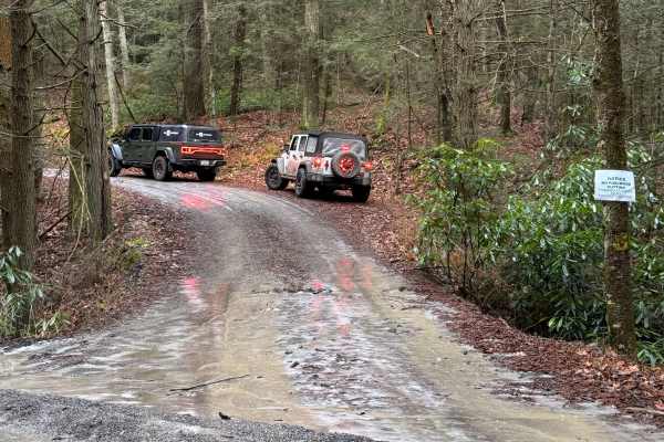
Pine Ridge Trail
Pine Ridge Trail is primarily a graded dirt road. It is an out-and-back road with ample room to turn around. It is an easy ride in the summer months; however, there is no winter maintenance. During times of rain, snow, and ice, the road can become rutted and harder to travel on. Pine Ridge Trail is ...
Learn more about Pine Ridge Trail
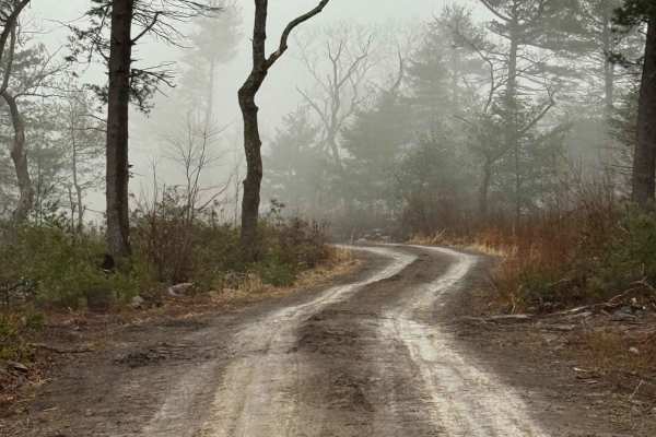
High Top Trail Green
High Top Trail Green is primarily a graded gravel road. It is an out-and-back road. There is ample room to turn around. It is an easy ride in the summer months; however, there is no winter maintenance. During times of rain, snow, and ice, the road can become rutted and harder to travel on. High Top ...
Learn more about High Top Trail Green
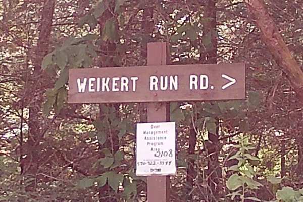
Weikert Run Road
This trail is a longer trail and is graded gravel; it is an in-and-out type of trail. The second half of this trail, coming in from the mountain top, has some tighter shelf road that is easily drivable in Summer, Spring, and fall. There is one hiking trail called the white mountain ridge trail. Ther...
Learn more about Weikert Run Road
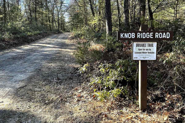
Knob Ridge Road Drivable Trail
This section of Knob Ridge Road is designated as a drivable trail and compared to others in Bald Eagle State Forest not as technical. It is also wider than most, offering views of the stream below, the mountains across the valley, and plenty of wildlife viewing opportunities. 4x4 is recommended as p...
Learn more about Knob Ridge Road Drivable Trail
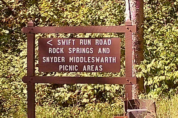
Swift Run Road
This trail is an in-and-out trail. It is a graded gravel trail. One hiking trail Thick Mountain trail, and a picnic area called Snyder Middleswarth Picnic area. The trail has easy access and drivability in the warm months, difficulty driving in the winter due to snow and ice, with no winter maintena...
Learn more about Swift Run Road
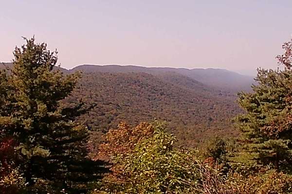
Locust Ridge road
This is an in-and-out trail off of Swift Run Road and can be accessed from the main pavement road. There is a beautiful Vista and hiking trail, called the Kreb Gap trail, that is a dual sport trail. This trail is a graded gravel road that is easy to access and drivability during the warm months, and...
Learn more about Locust Ridge road
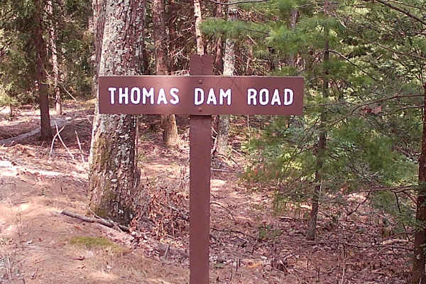
Thomas Dam Road
This is an in-and-out trail that is a graded gravel road within the Bald Eagle State Forest. There are no hiking trails on this road; there is a bridge with a small flowing brook. This trail is easily drivable during warm months, but will be more difficult during winter due to ice and snow.
Learn more about Thomas Dam Road
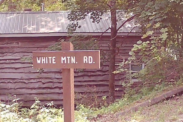
White Mountain Road
This trail is an in-and-out on Graded Gravel within the Bald Eagle State Forest. There is an area called Chimney Rock Trailhead and Parking, also a nice flowing brook under a bridge. This trail is easily drivable during warm summer months, but more difficult in winter with snow and ice.
Learn more about White Mountain Road

Countyline Single Track
This trail is a fun little single track. This is on the easy side of intermediate riding skill. There are no major obstacles, mostly level, no big descents or ascents, and minimal rocks. Start from Hunter Road and side-traverse around the big yellow gate, after which you'll find an easily followed t...
Learn more about Countyline Single Track
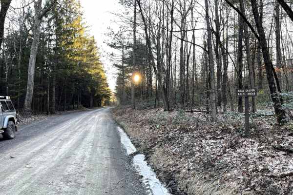
Knob Ridge Road
Knob Ridge Road is a dead-end road covering roughly 8.5 miles while crossing through state and private property. It is a hard-packed, smooth, dirt road that will turn muddy when wet. It offers a beautiful, scenic, relaxing drive across the mountain ridge with occasional views of New Lancaster Valley...
Learn more about Knob Ridge Road
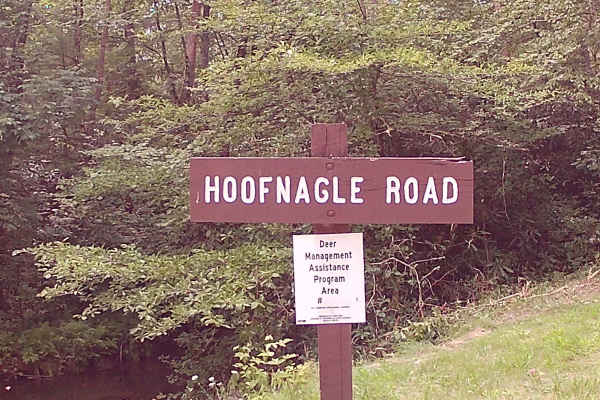
Hoofnagle Road
This trail is an in-and-out graded Gravel Road within Bald Eagle State Forest. There are a few areas to camp and picnic. Two Hiking trails off this trail are Boney Hollow Trail and Penns Creek Valley Trail. There is a drivable trail called Longwell draft Road that is interesting, with more dirt and ...
Learn more about Hoofnagle Road
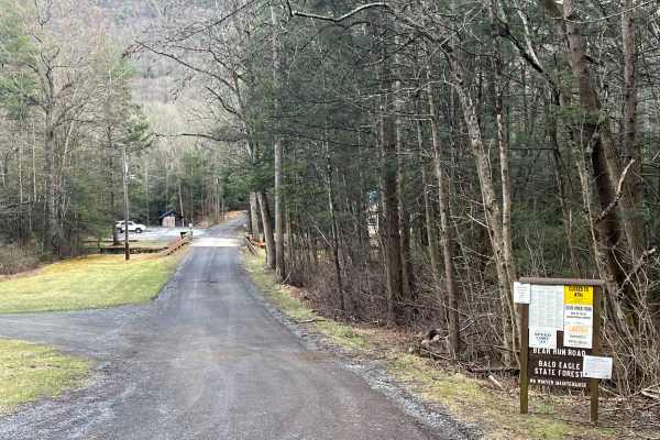
Bear Run Road
Bear Run Road is a relatively flat, wide and smooth graded gravel road in Bald Eagle State Forest. It connects Route 45 to Woodward Gap Road. There is one camp site (021 Bear Run) along the road. Bear Run (creek) follows the road with numerous access points and a few areas to pull off and park. The ...
Learn more about Bear Run Road
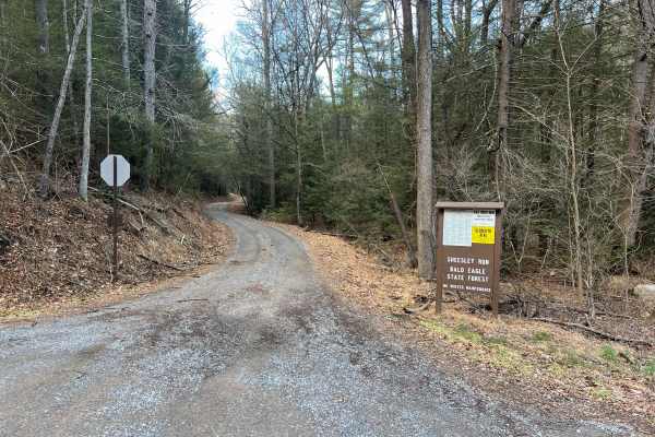
Sheesley Run Road
Sheesley Run Road is a relatively flat, wide, and smooth graded gravel road in Bald Eagle State Forest. It connects Route 45 to the intersection of Stony Run Road and Buffalo Flat Road. There are a number of narrow areas and tight turns along the road. Named for the creek it follows, Sheesley Run ca...
Learn more about Sheesley Run Road
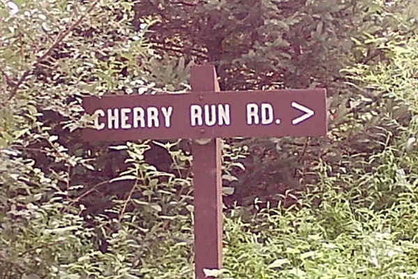
Cherry Run Road
This Trail is an in-and-out trail and is within the Bald Eagle State Forest. It is a Graded Gravel Trail. Along the trail is a Tranquil small brook of running water. There is an area for camping off to the side of the trail. There were no designated Hiking trails on this road. This is an easy trail ...
Learn more about Cherry Run Road
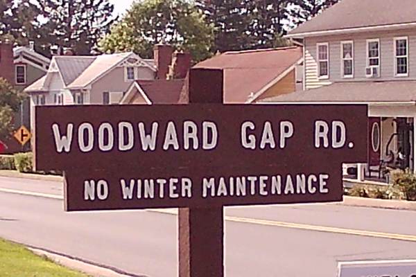
Woodward Gap Road
This trail is a graded gravel, in and out trail. It is located in the Bald Eagle State Forest. you can enter this trail from a paved roadway. There is a small lightly flowing brook under a bridge. This trail is more difficult to travel in winter due to no winter maintenance.
Learn more about Woodward Gap Road
Beginner ATV trails near Beavertown, Pennsylvania
Explore ATV-friendly trails near you. These trails are accessible for vehicles up to 50 inches wide, perfect for ATVs and smaller off-road machines.
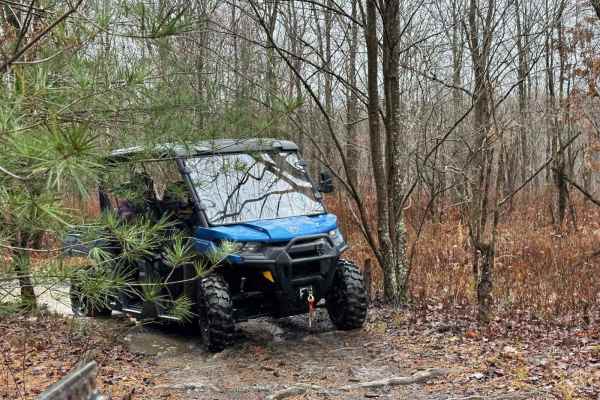
ATV Trail 43
This ATV trail is a narrow path with dense, small pine trees. The sturdy pine branches may hit your machine, as they are not easily breakable. Your machine and body will push through the branches. Following the pine section, you'll encounter two exit options. There's a level exit heading north, and ...
Learn more about ATV Trail 43
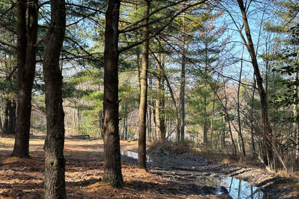
150A
150 is also known as the Heart Lake area and the trails that lead to the lake. Part of this is an open field area, but closer to the lake area, it becomes more of a dense pine tree area. There are puddles and washouts along the way.
Learn more about 150A
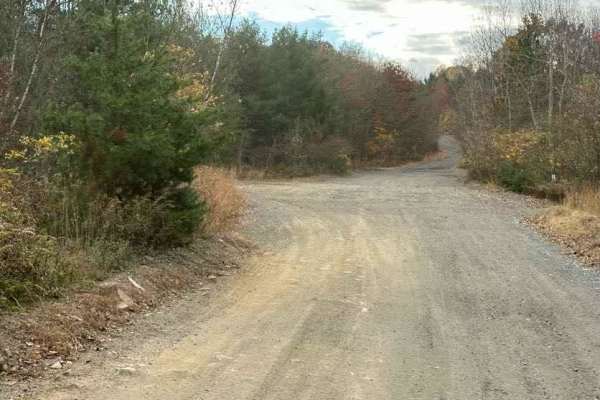
ATV Trail 44
This is a brief ATV trail connecting between sections. The terrain in these areas is constantly changing, so it's essential to look ahead and ensure the trail is still accessible. Due to ongoing mining activities, spoil piles may be moved, occasionally blocking a trail. Stay attentive to potential c...
Learn more about ATV Trail 44
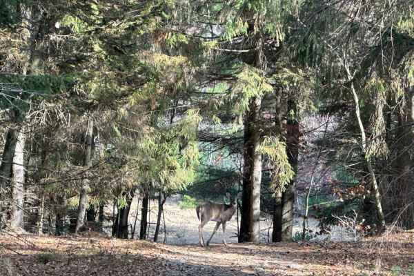
151A
151 is a loop with a few spur trails off it. It is an area with little difficulty but nice to spend time looping around or cutting through to another trail. It has an open area, a pine tree section, and a powerline area.
Learn more about 151A
Beginner UTV/side-by-side trails near Beavertown, Pennsylvania
Find UTV and side-by-side trails near you. These trails accommodate vehicles up to 60 inches wide, ideal for UTVs, side-by-sides, and wider off-road rigs.
ATV Trail 43
This ATV trail is a narrow path with dense, small pine trees. The sturdy pine branches may hit your machine, as they are not easily breakable. Your machine and body will push through the branches. Following the pine section, you'll encounter two exit options. There's a level exit heading north, and ...
Learn more about ATV Trail 43
150A
150 is also known as the Heart Lake area and the trails that lead to the lake. Part of this is an open field area, but closer to the lake area, it becomes more of a dense pine tree area. There are puddles and washouts along the way.
Learn more about 150A
ATV Trail 44
This is a brief ATV trail connecting between sections. The terrain in these areas is constantly changing, so it's essential to look ahead and ensure the trail is still accessible. Due to ongoing mining activities, spoil piles may be moved, occasionally blocking a trail. Stay attentive to potential c...
Learn more about ATV Trail 44
151A
151 is a loop with a few spur trails off it. It is an area with little difficulty but nice to spend time looping around or cutting through to another trail. It has an open area, a pine tree section, and a powerline area.
Learn more about 151A
The onX Offroad Difference
onX Offroad combines trail photos, descriptions, difficulty ratings, width restrictions, seasonality, and more in a user-friendly interface. Available on all devices, with offline access and full compatibility with CarPlay and Android Auto. Discover what you're missing today!
Open Trail Map