
Beginner Off-Road Trails
Near Barnstable Town, Massachusetts
Explore All Beginner Trails Near Barnstable Town, Massachusetts
Beginner Off-Road Trails Near Barnstable Town, Massachusetts
Discover the best beginner-friendly off-road trails near you. These easier, lower-rated trails are a great place to start — browse trail maps, check difficulty ratings, and find your next adventure.
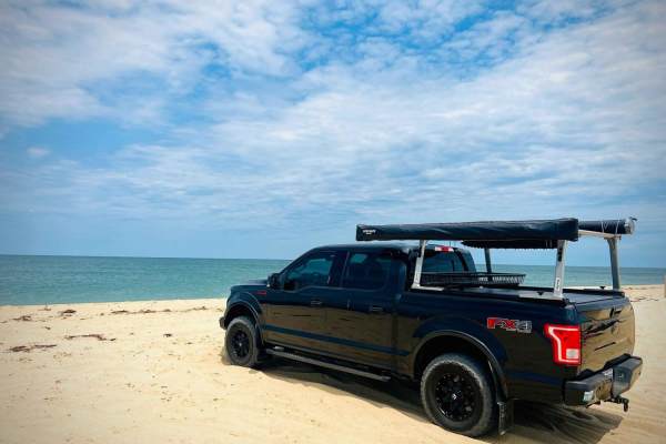
Race Point North Entrance
Race Point North is a great starting point for driving the Cape Cod National Seashore. A permit will need to be acquired at this entrance, as well as watching a short video, vehicle inspection, and checklist to make sure you have all required safety items. Items include;a shovel, fire extinguisher, ...
Learn more about Race Point North Entrance
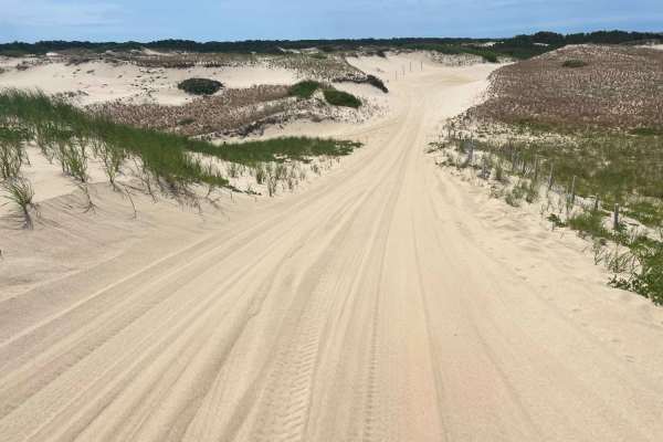
Race Point South Entrance
Race Point South is at the park entrance to Cape Cod National Seashore. A permit will need to be acquired along with a vehicle inspection and checklist to make sure you have all required safety items before driving the beach. Items include; a shovel, fire extinguisher, recovery strap, full-size spar...
Learn more about Race Point South Entrance
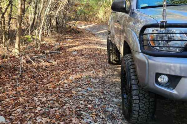
Copicut - Quanapoag Connector
Take a ride through the historically haunted Freetown State Forest with this easy off-road route. The route is on public roads and all vehicles running this trail must be road registered. Trail conditions can vary drastically based on how much rain has fallen, large frost heaves have caused mud hole...
Learn more about Copicut - Quanapoag Connector
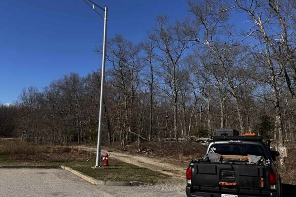
Hanton City Road
Public road that is no longer maintained. Can approach from west off of Decotis Farm Road or from East off of West Reservoir Road. Approaching from Decotis, the road begins at the cul-de-sac. Parts of the road still have remnants of pavement before it was abandoned. The route was dry when mapped and...
Learn more about Hanton City Road
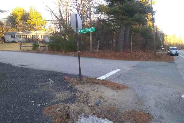
Olney Keach Road
Head down Onley Keach Road and begin once the pavement turns to dirt just after the houses. This trail is a dirt and gravel road. It will loosen your filings and shed parts from your vehicle. The trail's main redeeming value is that it forms the Eastern border of the Northeast Rhode Island Trail Net...
Learn more about Olney Keach Road
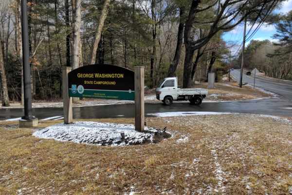
George Washington State Park Trail
This easy trail leads to the George Washington State Park Campground and continues through a gate at the North end that is only open when the campground is closed for the winter from November until mid-April. It provides access to the Center Trail in the Northeast Rhode Island Trail Network.
Learn more about George Washington State Park Trail
Beginner ATV trails near Barnstable Town, Massachusetts
Explore ATV-friendly trails near you. These trails are accessible for vehicles up to 50 inches wide, perfect for ATVs and smaller off-road machines.
Hanton City Road
Public road that is no longer maintained. Can approach from west off of Decotis Farm Road or from East off of West Reservoir Road. Approaching from Decotis, the road begins at the cul-de-sac. Parts of the road still have remnants of pavement before it was abandoned. The route was dry when mapped and...
Learn more about Hanton City Road
Beginner UTV/side-by-side trails near Barnstable Town, Massachusetts
Find UTV and side-by-side trails near you. These trails accommodate vehicles up to 60 inches wide, ideal for UTVs, side-by-sides, and wider off-road rigs.
Hanton City Road
Public road that is no longer maintained. Can approach from west off of Decotis Farm Road or from East off of West Reservoir Road. Approaching from Decotis, the road begins at the cul-de-sac. Parts of the road still have remnants of pavement before it was abandoned. The route was dry when mapped and...
Learn more about Hanton City Road
The onX Offroad Difference
onX Offroad combines trail photos, descriptions, difficulty ratings, width restrictions, seasonality, and more in a user-friendly interface. Available on all devices, with offline access and full compatibility with CarPlay and Android Auto. Discover what you're missing today!
Open Trail Map