
Beginner Off-Road Trails
Near Ava, Missouri
Explore All Beginner Trails Near Ava, Missouri
Beginner Off-Road Trails Near Ava, Missouri
Discover the best beginner-friendly off-road trails near you. These easier, lower-rated trails are a great place to start — browse trail maps, check difficulty ratings, and find your next adventure.
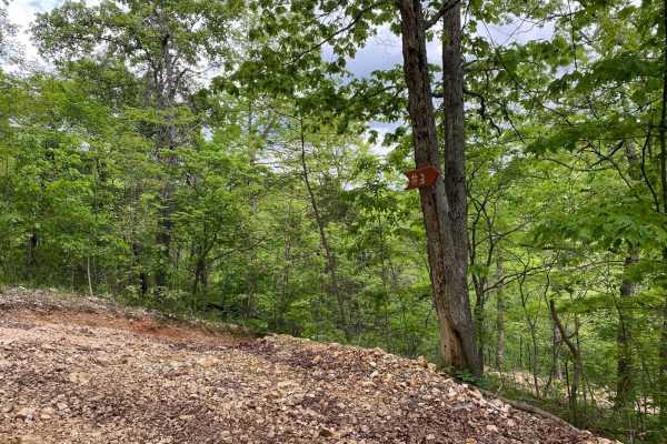
Ride Hook
This is a short and sweet non-directional offshoot of the Jeep Badge of Honor Trail called Guardrail. There are no obstacles on this trail. There are steep grades both up and downhill along the way. This trail will also connect you to trails called Gambler, T-Bone, and Yellow Jacket.
Learn more about Ride Hook
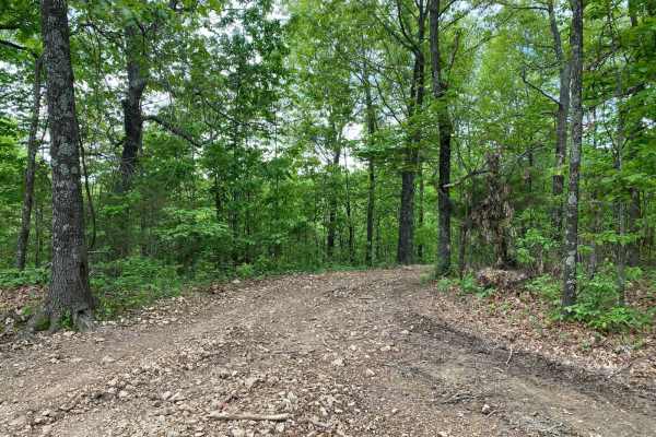
Yellowjacket
This is a non-directional loop trail that is an offshoot of Eastwood Drive. You will be connected with trails called Ride Hook, Guardrail (Jeep Badge of Honor), and Rumble Bee. There are two areas with small rock ledges. There is a steep hill climb by Rumble Bee that will require 4WD with low range.
Learn more about Yellowjacket
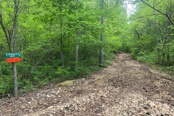
Coyote Ugly
This is a rocky trail with several areas of loose rocks. Coyote Ugly drops down and runs alongside PeeWee Crossing (Jeep Badge of Honor Trail). Some areas will be off-camber. The hill climbs are gradual grades both up and down. One side of the trail has a V-split but both trails are Coyote Ugly.
Learn more about Coyote Ugly
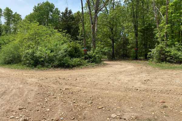
Momma's Hump
Momma's Hump is a short and sweet offshoot trail from Eastwood Drive. This is a scenic loop through the trees. There is a gradual grade on one side of the loop. You will come to a spot along the way that would be a great pull-off to grab lunch or a snack. Where this trail loops around, it connects t...
Learn more about Momma's Hump
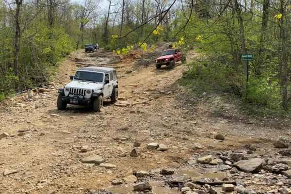
Ranch Road
Ranch Road runs almost the length of the park from north to south. It is one of the main roads that not only gives you access to a bunch of other trails but also access down into the creekbeds, therefore it is highly traveled. Any vehicle can travel Ranch Road, even trucks with trailers to recover s...
Learn more about Ranch Road
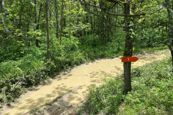
Gaucho
This is a short and sweet non-directional offshoot of Ridgeline. There are no obstacles on this trail. There are a few spots with mud holes and mud puddles but there are bypasses around them. This trail can connect you to Cold Mountain, Colt 45, Ridgeline, or Snow Trail.
Learn more about Gaucho
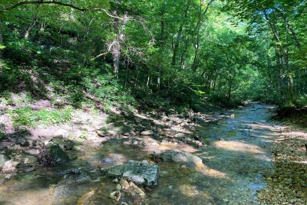
Whitey's Hideout
Whitey's Hideout is one of the trails at the back of the park. If you run it all the way from Keller Circle, it will lead you to the park boundaries. There is a turnaround at the end of the trail that has a very nice quiet spot to relax and catch a bite to eat for lunch. At this point, it may be bet...
Learn more about Whitey's Hideout
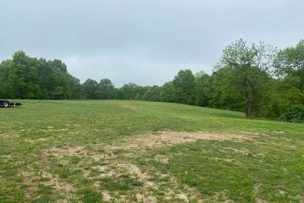
Pasture Parkway
The first trail you can access from Ranch Road, Pasture Parkway is a short sweet drop onto PeeWee Crossing (Jeep Badge of Honor Trail). It starts as a large open grassy field where people typically park their trucks and trailers for the day. The trail is rock-based and has a gradual descent onto Pee...
Learn more about Pasture Parkway
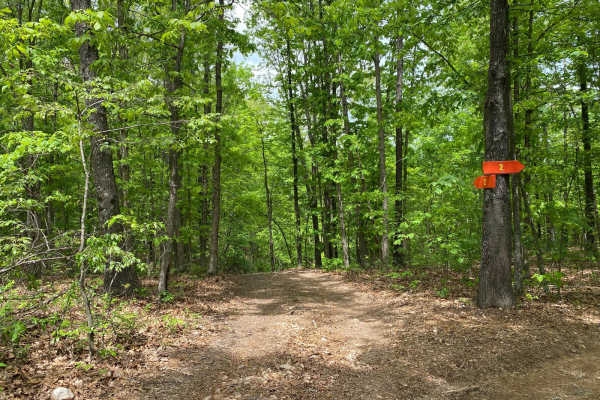
Cut Up
Cut Up is an off-shoot trail from Opossum Run. This is a non-directional trail that can be run from either end. This trail has steep grades up and down at the entrance and exit. Some areas are slightly off-camber. You will come to a junction of trails for Comanche Hallow and Largo. At this junction,...
Learn more about Cut Up
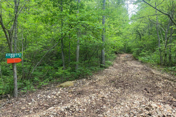
Cowboy Up
Located south of the generator camping, Cowboy Up is a rock-based trail that is more scenic than difficult. If you drop down onto it from the generator camping, there are two entrances. The right entrance is wider and more suitable for wider vehicles, while the left side is tighter and may cause som...
Learn more about Cowboy Up
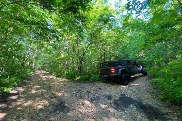
Keller Circle
There is no signage for Keller Circle. It begins where Brixey Road ends and stops where Whitey's Hideout begins. This trail is very overgrown as it is one of the least traveled trails on the southwest corner of the park. There is a small dip in the trail that isn't all that noticeable until you are ...
Learn more about Keller Circle
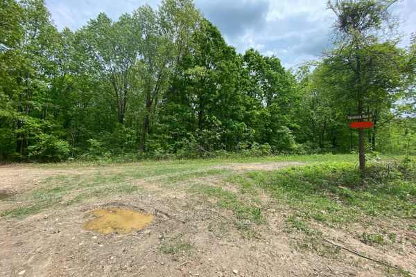
Opossum Run
This is a non-directional loop trail. It can be run from either end. This will be a scenic drive as you wind through the trees. Opossum Run starts flat and then comes to steep grades up and down. To get here, you must first take Ridgeline Road. You can also be connected to trails like Cut Up and Dis...
Learn more about Opossum Run
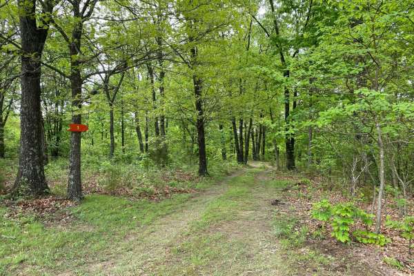
Heeler
Heeler is a short and sweet loop trail located between Rusty Nail and 8 Gauge. This is mostly a dirt trail with some areas of rock base. Depending upon recent rainfall, there could be mud puddles along the way. If in a full-sized truck or SUV, some of the curves could be tight. Almost any vehicle co...
Learn more about Heeler
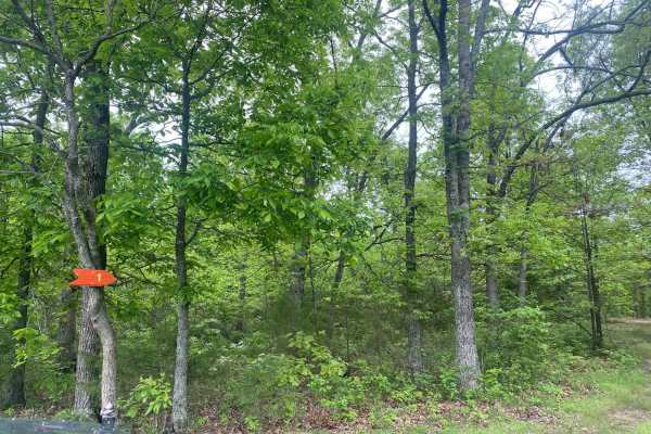
Peacemaker
Peacemaker is located between Cowboy Up and Rusty Nail. This trail is a scenic loop that winds through the trees. Peacemaker is a combination of dirt and rock. There are spots with low-hanging limbs. Any vehicle could do this trail even if it is just a 2WD vehicle. There are no offshoot trails from ...
Learn more about Peacemaker
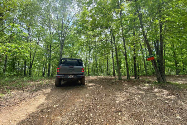
Comanche Hollow
The trail starts fairly nice and easy and then comes to a gradual descent. Once down, you will come to a junction of trails, but Comanche Hollow is clearly marked to follow. You will need to keep the right amount of momentum at the end when you're coming back up to Ranch Road. Depending on recent ra...
Learn more about Comanche Hollow
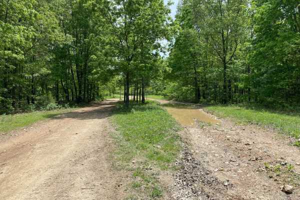
Ridgeline Road
This is a short and sweet nondirectional offshoot of Ranch Road. This trail offers a few good spots to pull over and eat lunch or grab a quick snack. There are no obstacles on this trail. There are a few spots with mud holes and mud puddles, but there are bypasses around them.
Learn more about Ridgeline Road
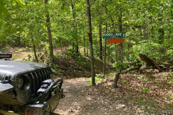
Rodeo Avenue
This will lead you on a scenic drive that winds through the trees. There will be mud puddles along the way. Any vehicle whether 2WD or 4WD will be able to complete this trail. This trail will connect to other trails at the Rope Swing Tree off of Ranch Road.
Learn more about Rodeo Avenue
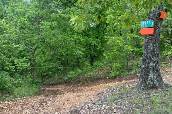
Rusty Nail
Rusty Nail is a non-directional trail that can be run from either end. There is a rock ledge obstacle that does not have a bypass. This obstacle can be very slick depending on recent rainfall. You will come to areas of being off-camber. At the bottom, you will be connected to PeeWee Crossing (Jeep B...
Learn more about Rusty Nail
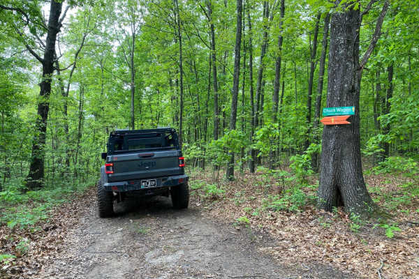
Chuckwagon
Located between 8 Gauge and Stirrup off of Fence Road, Chuckwagon is a scenic loop that winds through the trees. This is mostly made of dirt with some areas with a brick base. Depending on recent rainfall, there could be mud puddles along the way. The corners could be tighter for longer-wheelbase ve...
Learn more about Chuckwagon

Stirrup Split
This trail is nondirectional so it can be run from starting at the top or the bottom. There are areas of slight off-camber. Depending on recent rainfall, this trail may be wet at the bottom. This trail could have some erosion over time. At the bottom, this trail connects to Horseshoe.
Learn more about Stirrup Split
Beginner ATV trails near Ava, Missouri
Explore ATV-friendly trails near you. These trails are accessible for vehicles up to 50 inches wide, perfect for ATVs and smaller off-road machines.
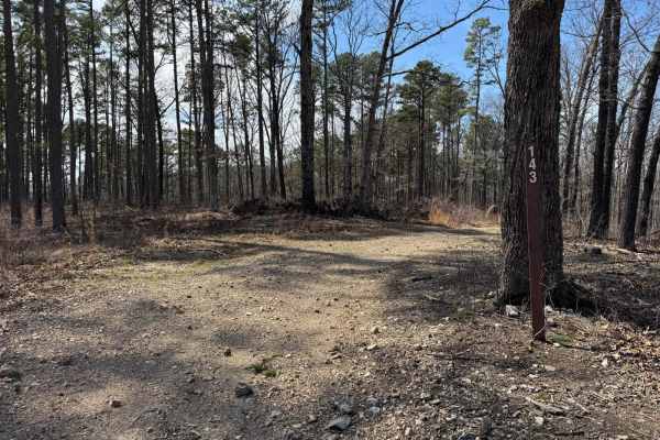
Prieskon Hollow - FSR 143
Prieskon Hollow is an out and back trail that runs along the hillside offering scenic views. Pay close attention as according to 2024 MVUMs the road does stop but there are tire marks that continue past where it legally stops. Just before this point, there is a turnaround point where you could easil...
Learn more about Prieskon Hollow - FSR 143
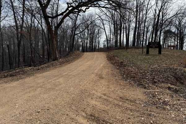
County Road 943
County Road 943 connects Glade Top North - FS 141 to County Road 924. This is a fairly maintained county road so there are no washouts or other potential obstacles to overcome. As you traverse along County Road 943 you will have great scenic views of the surrounding hills and other landscapes.
Learn more about County Road 943
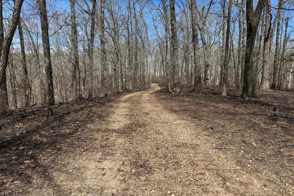
McAdoo Spur A - FSR 150
McAdoo Spur A is an out-and-back trail. As of the 2024 MVUM, the motorized use of this trail ends just after reaching the clearing on the ridge. Please be aware there are tire tracks that go beyond this point. Where this trail ends will give you great views of the rolling hills in the national fores...
Learn more about McAdoo Spur A - FSR 150
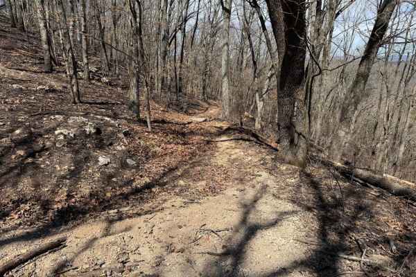
FSR 605
Forest Service Road (FRS) 605 is a spur trail off of Skyline Drive. This trail runs all the way until it connects with Mannon Road to the north. As of March 22nd, 2025, there is evidence of a controlled burn done along this area of the Mark Twain National Forest. Because of this, you can expect tree...
Learn more about FSR 605
Beginner UTV/side-by-side trails near Ava, Missouri
Find UTV and side-by-side trails near you. These trails accommodate vehicles up to 60 inches wide, ideal for UTVs, side-by-sides, and wider off-road rigs.
Ride Hook
This is a short and sweet non-directional offshoot of the Jeep Badge of Honor Trail called Guardrail. There are no obstacles on this trail. There are steep grades both up and downhill along the way. This trail will also connect you to trails called Gambler, T-Bone, and Yellow Jacket.
Learn more about Ride Hook
Yellowjacket
This is a non-directional loop trail that is an offshoot of Eastwood Drive. You will be connected with trails called Ride Hook, Guardrail (Jeep Badge of Honor), and Rumble Bee. There are two areas with small rock ledges. There is a steep hill climb by Rumble Bee that will require 4WD with low range.
Learn more about Yellowjacket
Coyote Ugly
This is a rocky trail with several areas of loose rocks. Coyote Ugly drops down and runs alongside PeeWee Crossing (Jeep Badge of Honor Trail). Some areas will be off-camber. The hill climbs are gradual grades both up and down. One side of the trail has a V-split but both trails are Coyote Ugly.
Learn more about Coyote Ugly
Momma's Hump
Momma's Hump is a short and sweet offshoot trail from Eastwood Drive. This is a scenic loop through the trees. There is a gradual grade on one side of the loop. You will come to a spot along the way that would be a great pull-off to grab lunch or a snack. Where this trail loops around, it connects t...
Learn more about Momma's Hump
The onX Offroad Difference
onX Offroad combines trail photos, descriptions, difficulty ratings, width restrictions, seasonality, and more in a user-friendly interface. Available on all devices, with offline access and full compatibility with CarPlay and Android Auto. Discover what you're missing today!
Open Trail Map