Near Gold Camp Rd.
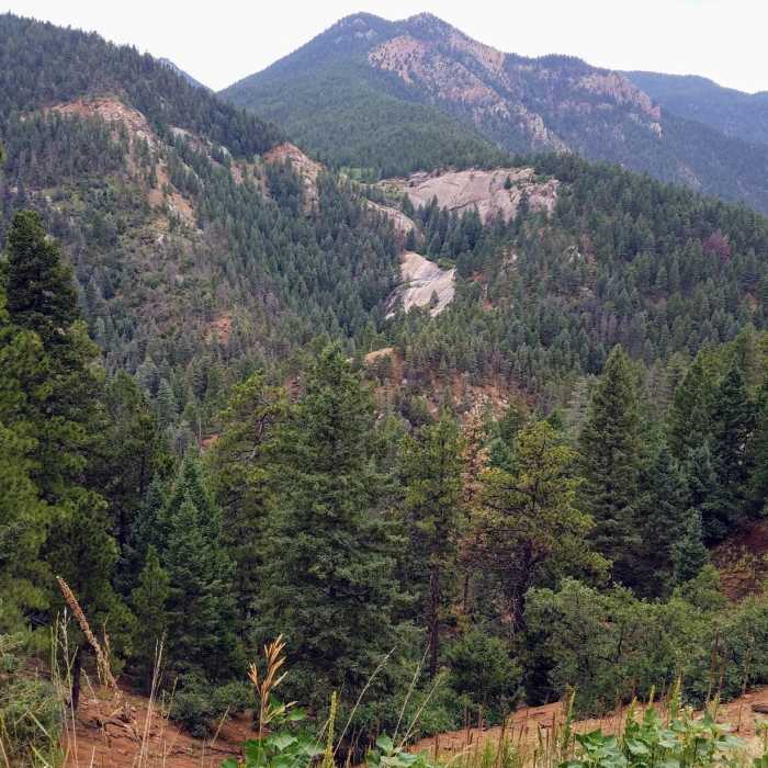
View of Helen Hunt Falls from Gold Camp Rd.
Near Gold Camp Rd.
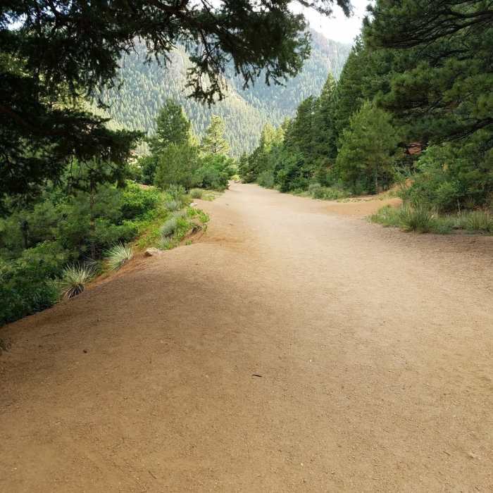
This is Gold Camp Road. Take the road from the parking lot to the tunnel, then take the feeder trail on the left to the trailhead.
Near Gold Camp Rd.
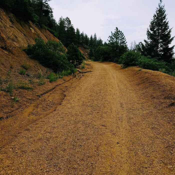
FSR 380 aka High Drive. Gravel roadway currently not open to motorized vehicles.
Near Gold Camp Rd.
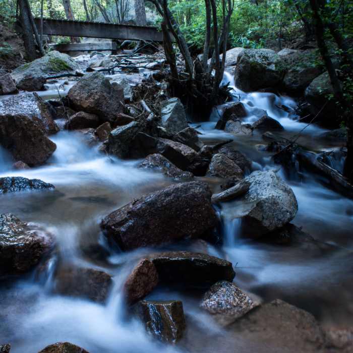
Rushing water on the Seven Bridges Trail.
Near Gold Camp Rd.
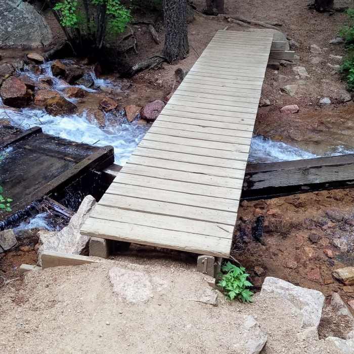
This is bridge number one on the Seven Bridges Trail.

Looking for more photos?

View All Photos
View Map
Driving Directions
Hike Trail

Gold Camp Rd.

2.8 (4 Ratings)
A old mining rd still used to connect CO Springs to Cripple Creek, and many things in between.
33
mi
Distance
4,952
ft
Gain
moderate
Difficulty
Fall ColorsLakeViews

Route Details

Flatter
Steeper
32.99mi
Distance
4,952ft
Elevation Gain
1,742ft
Elevation Loss
35%
Max Grade
9,996ft
High Point
6,625ft
Low Point
Path Type
Point to Point
Description
A remnant of the Pikes Peak gold mining days, Gold Camp Rd connects Colorado Springs and Cripple Creek, with many other dirt roads and trails connecting. This dirt road runs for miles and allows for some creative routes.

Route Conditions

Report Conditions
No Condition Reports
Report Conditions

Nearby Hike Routes

Section 16 to Jones Park (and back) Mountain Ramble

Hike Route

Section 16 to Jones Park (and back) Mountain Ramble

Fall Colors
strenuous
19.44 mi
+4,756 ft
Section 16/Palmer Loop

Hike Route

Section 16/Palmer Loop

River/Creek
moderate
5.55 mi
+1,278 ft
Bear Creek, Mountain Scrub, and Yellow Jacket Loop

Hike Route

Bear Creek, Mountain Scrub, and Yellow Jacket Loop

Dogs Allowed
easy
3.86 mi
+570 ft
Coyote Gulch and Creekbottom Loop

Hike Route

Coyote Gulch and Creekbottom Loop

Dogs Allowed
easy
1.31 mi
+172 ft
Lion and Chamberlain Loop

Hike Route

Lion and Chamberlain Loop

Dogs Allowed
easy
3.5 mi
+512 ft
Iron Mountain via Intemann Trail

Hike Route

Iron Mountain via Intemann Trail

Dogs Allowed
easy
2.62 mi
+548 ft
Contributors
Jason Doedderlein
