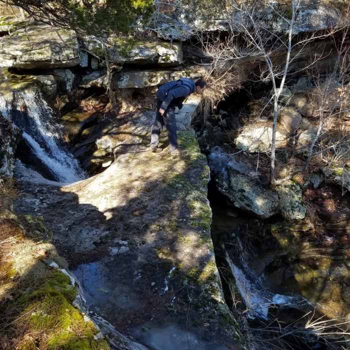
Near Hole in the Rock Run
Hole in the Rock Falls (Upper and Lower)

Looking for more photos?

View All Photos
View Map
Driving Directions
Hike Trail

Hole in the Rock Run

5.0 (1 Rating)
This section of ATV trail leads to four unique waterfalls.
0.5
mi
Distance
124
ft
Gain
moderate
Difficulty
Waterfall

Route Details

Flatter
Steeper
0.53mi
Distance
124ft
Elevation Gain
118ft
Elevation Loss
15%
Max Grade
2,028ft
High Point
1,897ft
Low Point
Path Type
Point to Point
Description
After approaching from the Buffalo's Bypass Trail, turn east onto Hole in the Rock Run. There are four waterfalls in this area which appear in the hollow below. Sunshine Falls is the first waterfall you encounter. As you progress, you'll be able to see the trail namesake, Hole in the Rock Falls (upper and lower). If you choose to scramble down into the hollow, you'll also notice Honeymoon Falls.

Route Conditions

Report Conditions
No Condition Reports
Report Conditions

Nearby Hike Routes

Whitaker Point Trail + Hawksbill Crag

Hike Route

Whitaker Point Trail + Hawksbill Crag

Views
easy
1.84 mi
+178 ft
Indian Creek Trail to Eye of the Needle Out and Back

Hike Route

Indian Creek Trail to Eye of the Needle Out and Back

Cave
strenuous
4.4 mi
+947 ft
Cecil Cove Loop to Thunder Canyon Falls

Hike Route

Cecil Cove Loop to Thunder Canyon Falls

Fall Colors
strenuous
7.21 mi
+947 ft
Round Top Mountain

Hike Route

Round Top Mountain

Views
moderate
3.13 mi
+642 ft
Big Creek Cave Falls

Hike Route

Big Creek Cave Falls

Waterfall
moderate
2.3 mi
+208 ft
Dogwood Loop Trail

Hike Route

Dogwood Loop Trail

Less Crowded
easy
1.07 mi
+170 ft
Contributors
Missouri Hiker
