Ready to explore this trail?
View Trail Map in AppPath Type
Point to Point
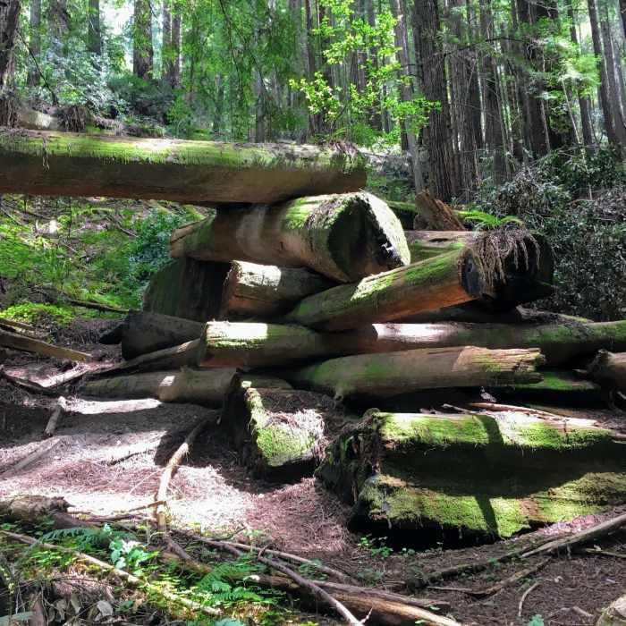
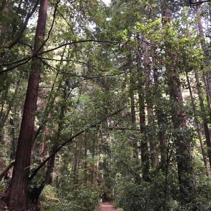
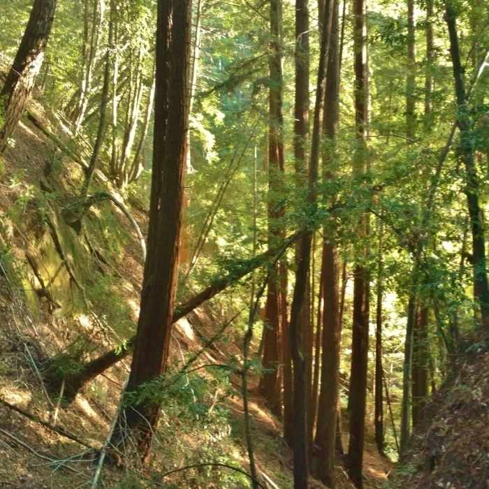
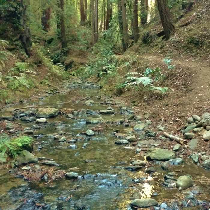
Loma Prieta Grade is a redwood forest trail that follows an old logging steam railway route for its first two miles and then continues through the redwood forest. This trail passes many historic sites of the redwood logging that went on here in the late 1800's and early 1900's. Although this area was abuzz with logging activity back then, there are almost no traces of this historic logging now. The buildings and rails are gone, and giant, magnificent second and third growth redwoods have grown thick and tall, as a testament to nature's resilience.
Loma Prieta Grade starts in the redwood forest along Aptos Creek Fire Road, just north of the gate that marks the start of Aptos Creek Fire Road. This is well marked. The trail immediately starts to climb at a very comfortable grade, which it continues to do until its last 0.4 miles. Aptos Creek is nearby, down the hillside to the left (east) of the trail, for the first 0.6 miles. The site of the old logging town, Loma Prieta, is reached at the 0.6 mile mark, where there is a trail junction with Mill Pond Trail on the right. Mill Pond Trail is a short connector that goes through what used to be the town of Loma Prieta, down to Aptos Creek which it crosses near where the old mill used to be and then ends at Aptos Creek Fire Road. Stay left at this Loma Prieta Grade/Mill Pond trail junction to continue on Loma Prieta Grade.
After passing Mill Pond Trail and continuing through the redwood forest, Loma Prieta Grade veers away from Aptos Creek, and almost immediately comes to a trail junction with Bridge Creek Trail on the right. Go left here to stay on Loma Prieta Grade.
At the 2.2-mile mark, there is another trail junction and Hoffman's Historic Site, the site of the old loggers' camp, although nothing remains of it today. Ridge Connection Trail which leads up to West Ridge Trail is on the left. To continue on Loma Prieta Grade, stay to the right here.
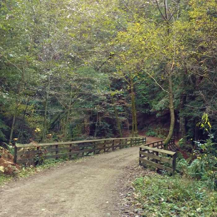
Loma Prieta Grade then continues winding through the redwood forest, crossing seasonal streams, and then 3.1 miles from its trailhead, it descends for its last0 .4 miles to reach Bridge Creek which it crosses. Climbing the opposite creek bank, Loma Prieta Grade meets Bridge Creek Trail almost immediately. Here, at the Bridge Creek Historic Site, Loma Prieta Grade ends.
Some Issues
Looking for more condition reports?
Contributors

