Ready to explore this trail?
View Trail Map in AppIf you would like to hike/run Mt. Scott, you are able to do so anytime from sunrise to sunset, Monday through Thursday. On Friday, Saturday, and Sunday, you can hike/run from sunrise to noon (12:00 p.m.). Cars/bikes are not allowed until AFTER noon on Saturday and Sunday. Max group size allowed is 8 people or less on the Mt. Scott Roadway (when open).
Path Type
Point to Point
Mount Scott is one of the highest peaks in Oklahoma, located in the Wichita Mountains Wildlife Refuge, approximately 25 miles north of Lawton.
Traveling from the small town of Medicine Park, Mt. Scott's service road entrance will be on your right. Parking is available on the road. There is a pit toilet available if you take a left onto the unimproved road for the Mt. Scott Picnic Area.
This trail doubles as a scenic drive and some areas are narrow, so take caution and be vigilant when running up. Cars will pass by you if the gate is unlocked.
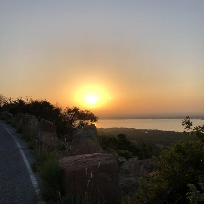
From the parking area, cross the road past the entrance and begin your run. Just follow the road up and enjoy the views. The incline is fairly steep off the bat and curls you about 3 miles up to the summit of the mountain. A lot of wildlife can be seen on the way up including buzzards, birds, and even an American buffalo or long horn (not along the trail, but in view in the rest of the refuge).
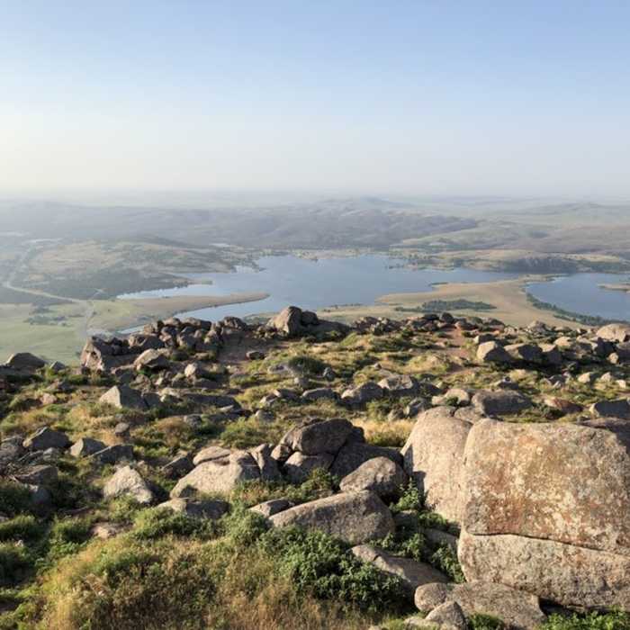
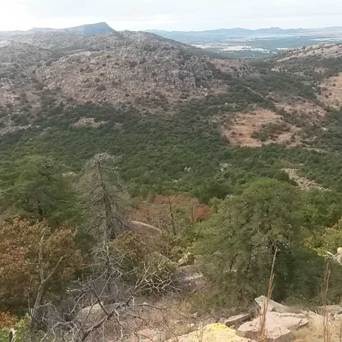
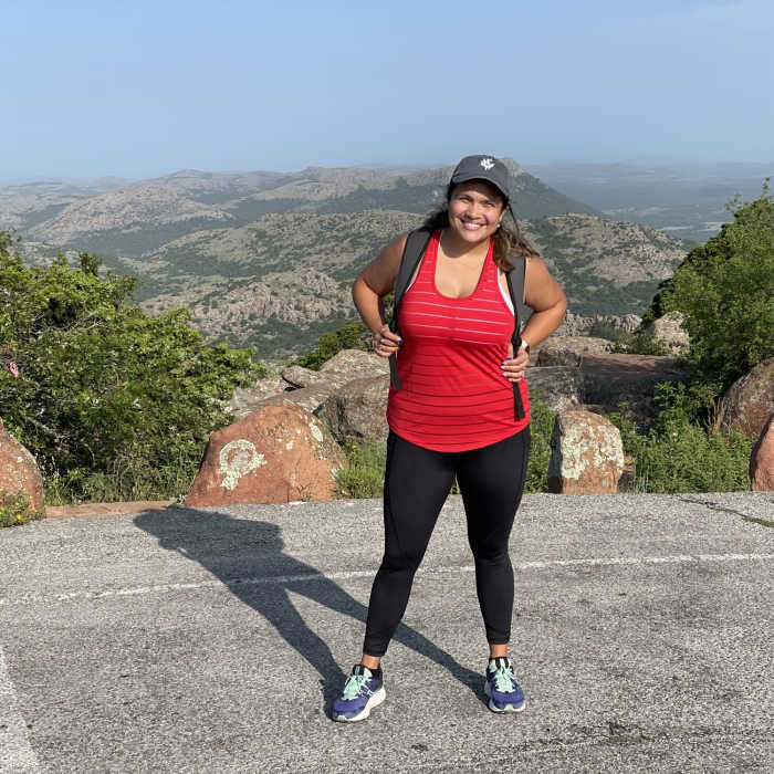
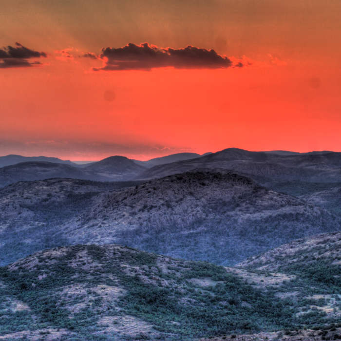
Once you reach the top, there are numerous lookout areas to absorb the incredible scenery. This is one of the highest peaks in Oklahoma, and from it you can see absolutely incredible stretches of the plains. Overall, this is an intermediate run that is certainly worth the views. There are also numerous technical climbing routes on Mt. Scott that are accessible from this trail.
All Clear
All Clear
All Clear
All Clear
Looking for more condition reports?
Contributors

