Ready to explore this trail?
View Trail Map in AppPath Type
Point to Point
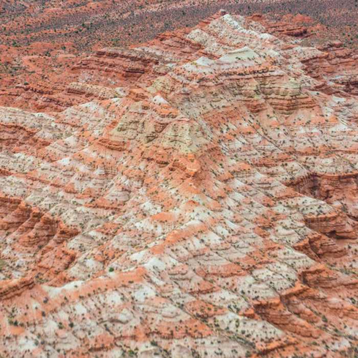
The Gooseberry Mesa trail network sits at 5200 feet elevation on a slickrock mesa. The trail is marked with white paint dots on the slickrock and signs at the junctions. The network is a bit of a maze, but fairly easy to follow. The trail undulates up and down house size sandstone mounds and twists through tight rock canyons. It's the perfect technical trail. There are many ways to connect the various trails to make it longer or shorter, harder or easier, and they're all good. If this is your first time, you may want to try out the Practice Trail first to get your Gooseberry groove on. Bring lots of water. There is no drinking water available on the mesa. There is primitive camping available in the area.
Heading east, this trail starts from a junction with the Practice Trail, and ends just north of the viewpoint and the junction with the South Rim Trail. Near the start, you can also branch off onto the Windmill Trail. It is not as technical as the South Rim, but plenty challenging. This section has short, but steep, climbs through some very narrow slots.
No Condition Reports
Contributors

