Ready to explore this trail?
View Trail Map in AppPath Type
Point to Point
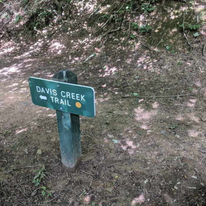
This is an easy, mostly level trail that runs along Davis Creek in Kanawha State Forest. Primary access is from the parking area just below the dam/lake on Davis Creek just inside the forest entry (on the left). If this parking area is full there is an alternate parking area just outside the forest entry. From this alternate parking you can hike about 500 feet through a grassy field to the beginning of the trail. The trail is well marked with reflective yellow circle blazes and is exceptionally easy to follow.
The trail passes the forest superintendent's house and the old office (new office is now at the parking area later on this trail). After about 1 mile Teaberry Rock Trail can be accessed from Davis Creek Trail. Just before this there is a picnic area and a bridge that crosses over to other picnic areas and a toilet. Just beyond this is a road that accesses both CCC Snipe Trail and Alligator Rock Trail .
The trail then passes through the forest office parking lot with painted yellow circle blazes to guide you across the lot and back onto the trail. Just beyond this there is a section of trail of about 50 feet that can be covered with water when the creek is high. There is also a 50 foot section where bicyclists must dismount and walk their bikes because of stairs.
Near the end of the trail White Hollow Trail intersects and can be taken. Just past the end of this trail you can continue on the road for a few hundred feed to the handicap accessible Nature Trail.
No Condition Reports
Ball Field to Golf Loop, Mini Golf, and Abby's Trail
Ball Field to Golf Loop, Mini Golf, and Abby's Trail
Contributors

