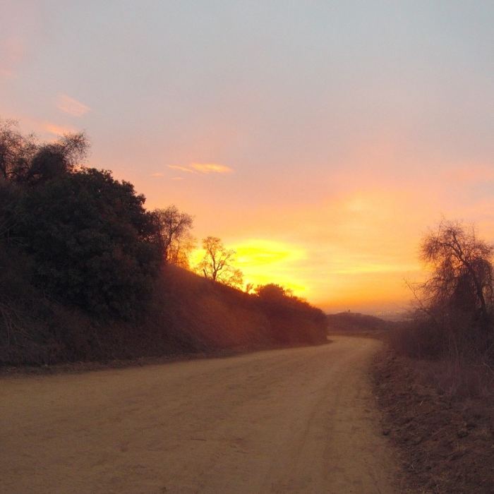
Near Peppergrass Trail
Downtown LA would be visible directly below the brightest part of the sunset - from the Rose Hills Fire Rd.

Looking for more photos?

View All Photos
Driving Directions
Hike Trail

Peppergrass Trail

3.5 (2 Ratings)
A wide dirt road with awesome views, steep and grueling at the bottom, mild and easy at the top.
1.5
mi
Distance
613
ft
Gain
moderate
Difficulty
ViewsWildflowersWildlife

Route Details

Flatter
Steeper
1.49mi
Distance
613ft
Elevation Gain
24ft
Elevation Loss
30%
Max Grade
1,076ft
High Point
469ft
Low Point
Path Type
Point to Point
Description
Like other dirt roads in the area, I wouldn't give more than two stars if not for the views, especially on clear days. The bottom mile of this trail has some pretty serious slopes in the sun, then it mellows for the top half. A quarter-mile away, and well downhill, from the graffiti-covered tower you'll notice a trail split to the right, up a steep trio of slopes to the foot of the tower. This is 3-B's, a much more direct way up there. Stay on Peppergrass for an easier, but longer, climb to the tower.

Route Conditions

Report Conditions
No Condition Reports
Report Conditions

Nearby Hike Routes

Worsham Canyon Trail

Hike Route

Worsham Canyon Trail

Views
moderate
1.66 mi
+737 ft
Schabarum Loop

Hike Route

Schabarum Loop

Views
moderate
5.83 mi
+1,407 ft
West Coyote Hills Trails

Hike Route

West Coyote Hills Trails

Views
easy
2.31 mi
+273 ft
Fullerton Loop

Hike Route

Fullerton Loop

strenuous
16 mi
+1,447 ft
Fullerton Loop

Hike Route

Fullerton Loop

Birding
easy
11.22 mi
+877 ft
Debs Park Loop

Hike Route

Debs Park Loop

Birding
moderate
2.05 mi
+447 ft
Contributors
Dave Gregg
