Ready to explore this trail?
View Trail Map in AppA park entrance fee is required to access the Paradise trailhead area.
Path Type
There and Back
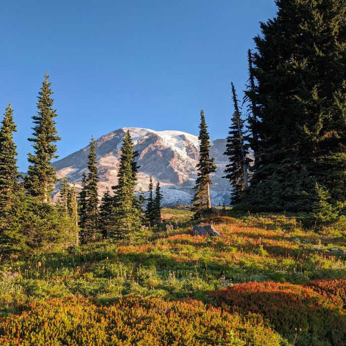
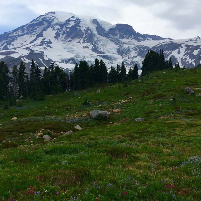
The Moraine Trail is a scenic, less-frequented hike located in the Paradise area of Mount Rainier National Park. Beginning from the Paradise parking area, hikers first ascend the paved Dead Horse Creek Trail for about 0.5 miles before reaching the signed junction for the Moraine Trail. From this junction, the trail heads west (left), offering a quieter alternative to the busier paved loops around Paradise, with intimate views of the Nisqually Glacier and the towering south face of Mount Rainier.
The route spans approximately 2.4 miles round trip with a modest elevation change, climbing to a maximum elevation of 5,848 feet. The initial segment of the trail is well-maintained, winding gently down through a mix of subalpine fir trees and open wildflower meadows. After reaching the end of the officially maintained trail, an unmaintained, rugged path continues toward the glacier. Hikers descend through a small valley, cross a minor stream, and navigate a trail fork where the upper path is generally preferred to avoid loose, rocky terrain.
The trail terminates at the edge of the lateral moraine, overlooking the vast, debris-covered Nisqually Glacier and the deep Nisqually River valley. From this vantage point, hikers can often hear the rumbling, creaking sounds of the active glacier. Because this is a highly dynamic glacial environment, the slopes along the moraine are extremely unstable, heavily eroded, and prone to sudden rockfalls or landslides. Hikers should stay well back from the edge of the crumbling cliffs and exercise extreme when navigating this unmaintained section.
No Condition Reports
Mount Rainier Summit: Disappointment Cleaver Route
Mount Rainier Summit: Disappointment Cleaver Route
Contributors

