Ready to explore this trail?
View Trail Map in AppRegional Classic
A must do route for the area handpicked by local experts.
A climbing permit ($82 per person) and a wilderness permit for Camp Muir are both required; roughly two-thirds of permits reserveable on recreation.gov, the rest are first-come.
Path Type
There and Back
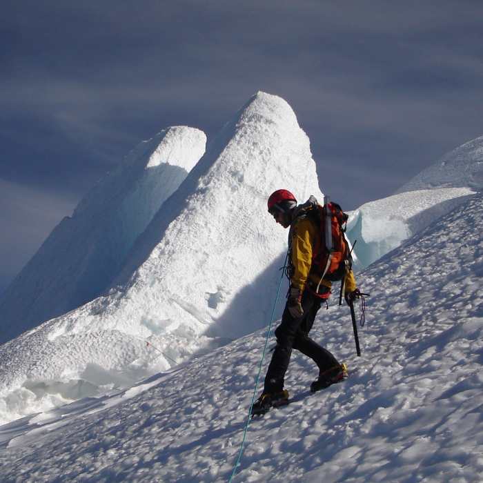
This is a mountaineering route, not a hike or scramble. Above Camp Muir, climbers rope up for glacier travel, cross active crevasses — some bridged only by fixed ladders or pickets placed by guide services — and climb loose Class 3–4 rock and steep snow on Disappointment Cleaver itself, roughly two-thirds of the way to the summit. Crampons, an ice axe, a rope team, and crevasse-rescue skills are mandatory beyond Camp Muir. Consult Climb Mode and Mountain Project for current route and crevasse conditions before attempting this climb.
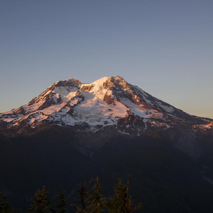
The route starts at Paradise (5,420') and ends at the summit, Columbia Crest (14,411'), returning by the same path.
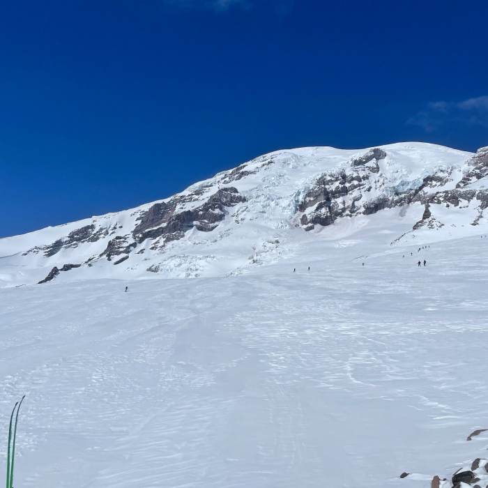
From Paradise, follow the Skyline Trail past Alta Vista, staying right at the Glacier Vista junction to remain on Skyline Trail, and reach Panorama Point at 2.5 miles (6,800'). Continue past Pebble Creek (7,200'), where maintained tread ends and cross-country navigation begins on the Muir Snowfield — GPS or a map and compass are essential in the whiteouts common here. At 4.5 miles, reach Camp Muir (10,080'), the high camp for the summit push.
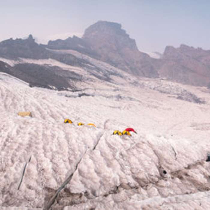
From Camp Muir, rope up and cross the Cowlitz Glacier, then scramble the loose rock of Cathedral Gap onto the Ingraham Glacier at Ingraham Flats (11,000'). Traverse north to the base of Disappointment Cleaver.
Crux: Climb the Cleaver's loose rock-and-scree crest, gaining about 1,200 vertical feet to its top (12,300') — the technical core of the route, sustained roped glacier travel over crevassed terrain below and above combined with loose Class 3-4 rock on the Cleaver itself. Above the Cleaver, switchback up steepening snow, cross a large crevasse bridge near 12,800', and traverse right onto the Emmons Glacier shoulder to bypass a bergschrund near 13,000'.
Climb moderate snow slopes to the crater rim and cross the crater to Columbia Crest (14,411'), the true summit.
Descend the same route. Crevasse crossings on the Cowlitz, Ingraham, and upper mountain shift through the season, and climbers sometimes follow the Ingraham Direct variant instead of the Cleaver depending on conditions. Both a climbing permit and a Camp Muir wilderness permit are required beyond Camp Muir; reserve well in advance, since both fill quickly in season.
No Condition Reports
Contributors

