Near Moraine
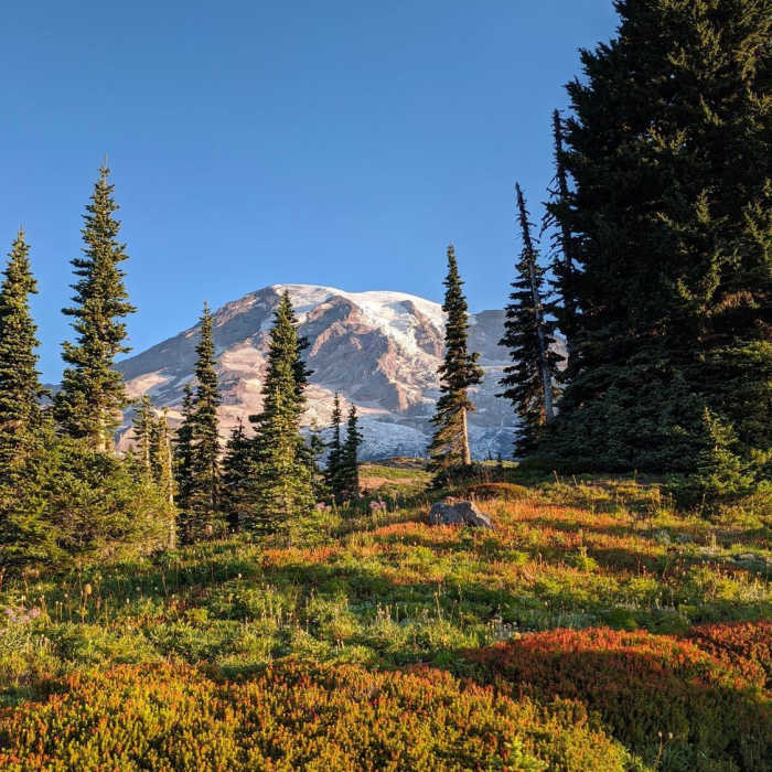
A couple days before the smoke from Western fires moved in.
Near Moraine
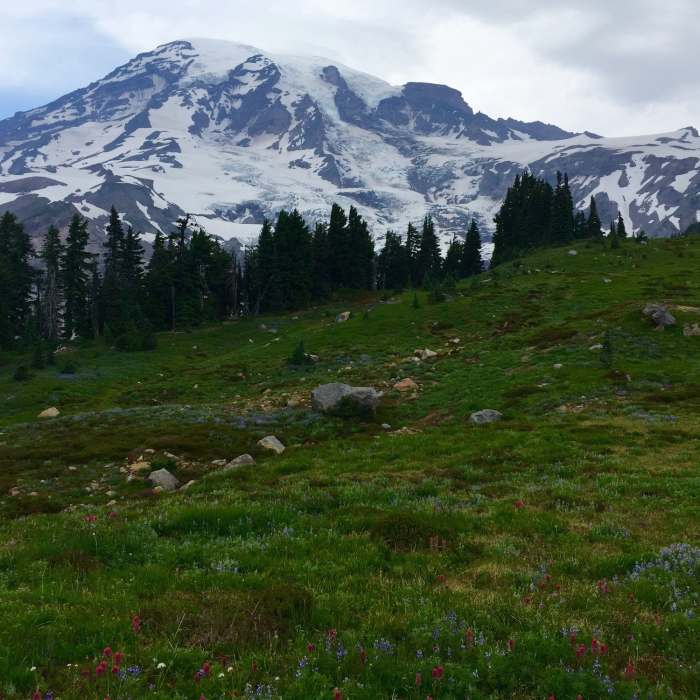
The view from Deadhorse.

Looking for more photos?

View All Photos
View Map
Driving Directions
Hike Trail

Moraine

4.5 (2 Ratings)
This overlooked trail offers intimate views of Nisqually Glacier and Mt Rainier with ample solitude.
2.4
mi
Distance
633
ft
Gain
moderate
Difficulty
ViewsWildflowersWildlife

Route Details

Flatter
Steeper
2.43mi
Distance
633ft
Elevation Gain
633ft
Elevation Loss
25%
Max Grade
5,848ft
High Point
5,376ft
Low Point
Path Type
There and Back
Description
From the signed junction with the Dead Horse Creek Trail, take the Moraine Trail to the west. Upon reaching the end of the maintained part of the trail, a sign reminds users to use minimum impact practices. From here, descend gently through a few trees and open meadow areas. At the trail fork, choose the upper option to avoid loose rocky travel- both paths end at the same destination. Cross a stream and arrive at the edge of the moraine, being sure to watch for eroded, unsafe places. Enjoy the views of the wide Nisqually Valley, the glacier and Mt. Rainier itself. You may be treated to the sound of the glacier creaking and rumbling. Because this is an active glacial zone, the path changes often, becoming eroded and treacherous- use caution in this area.

Route Conditions

Report Conditions
No Condition Reports
Report Conditions

Nearby Hike Routes

Nisqually Vista

Hike Route

Nisqually Vista

Family Friendly
moderate
1.06 mi
+206 ft
Alta Vista

Classic Hike Route

Alta Vista

Family Friendly
moderate
1.6 mi
+594 ft
Skyline Trail Hike

Classic Hike Route

Skyline Trail Hike

Birding
moderate
5.6 mi
+1,774 ft
Camp Muir

Classic Hike Route

Camp Muir

Birding
strenuous
8.44 mi
+4,641 ft
Paradise Glacier View

Classic Hike Route

Paradise Glacier View

Geologically Significant
moderate
4.09 mi
+1,192 ft
Pinnacle Peak

Classic Hike Route

Pinnacle Peak

Birding
strenuous
2.43 mi
+1,058 ft
Contributors
Megan W
