Ready to explore this trail?
View Trail Map in AppPath Type
Point to Point
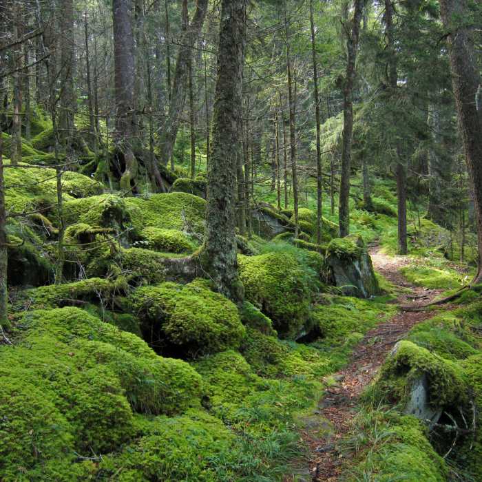
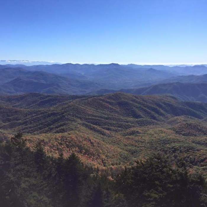
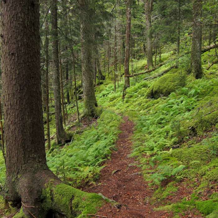
Points of Interest along this section: This section covers from Pretty Hollow to the Big Creek Campground. The Mount Sterling Ridge Trail leads to Mount Sterling which is 5842 feet high. It is often times quite surprisingly cold. The vegetation is similar to that found in Maine. Along the Mount Sterling Ridge Trail and the upper stretches of the Baxter Creek Trail, look for clubmoss. The clubmoss produces abundant yellow spores containing a highly flammable oil. The spores were once collected and used as ignition powder for fireworks and used to create the flash for early cameras. The old name of the club moss is vegetable sulfur. The Mount Sterling Firetower is the highlight of this trip. You can climb up into the cabin at the top and view the surrounding mountains. This is a favorite spot to take sunset pictures.
Trail Description: From Pretty Hollow Gap at mile 278.3 hike up over a knob then down into a gap then back up another ridge to a trail junction just south of Mount Sterling itself at mile 279.6. The Mount Sterling Trail goes to the right and the Baxter Creek Trail goes straight on up to the top of Mount Sterling, the highest point on the BMT at 5842'. Follow the Baxter Creek Trail to the Mount Sterling Campsite #38 at mile 280.1. Adjacent to the campsite is the old Mount Sterling Firetower. Past the firetower, the trail begins its steady descent 4000 feet to Big Creek Campground. For the first couple of miles the trail follows the crest of Mount Sterling Ridge At mile 281.9, there is a sign for the now unmaintained Big Branch Trail going off to the right. After this sign, the trail heads down the side slope of the mountain with the Baxter Creek valley on your right. You work around the point of the ridge to the west and then follow another ridgeline down toward Big Creek with now a separate tributary of Baxter Creek on your right. Finally you'll reach the bridge over Big Creek at mile 286.2. The BMT ends at this point.
Campsites: Camping is available at the Mount Sterling Campsite #38 (reservations required) at mile 280.1 and at Big Creek Campground at the end of the BMT. The Big Creek Campground is open March 15 through October 31 and charges $14 per site. Advance reservations are highly recommended. There is a phone at the Big Creek Ranger Station which connects you to the Backcountry Reservations line for making backcountry campsite reservations as well as camping reservations for Big Creek Campground.
Water Sources: Water is available about 0.3 miles north of the Mount Sterling campsite on a 0.2 mile side trail (should treat) and at Big Creek Campground (potable). Also, there are several seeps and small streams which cross the trail, especially at mile 284.6. During dry weather, there may be long stretches of the trail with no readily accessible water.
No Condition Reports
Contributors

