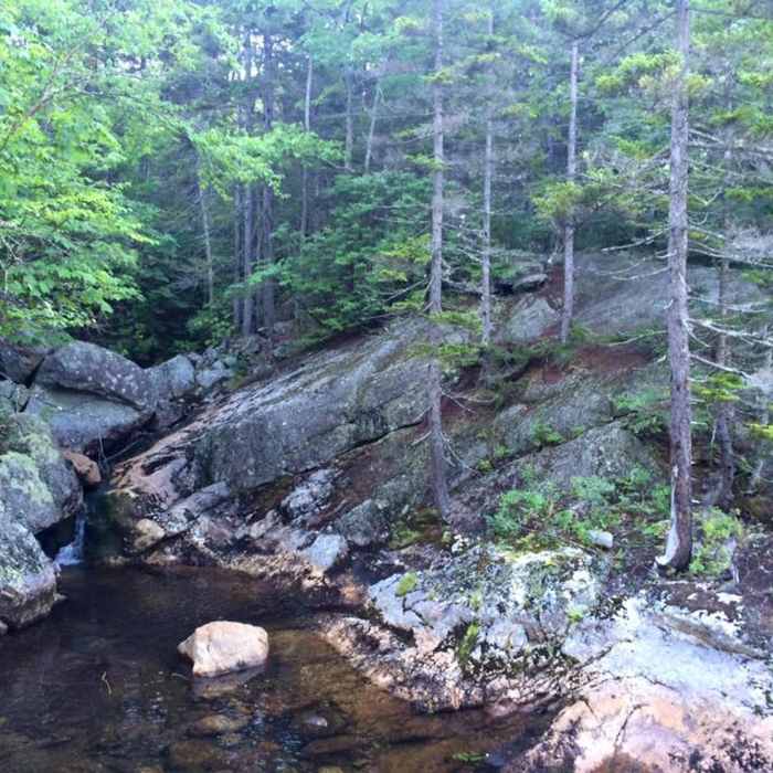
Near Moriah Brook Trail
The Moriah Brook
Near Moriah Brook Trail
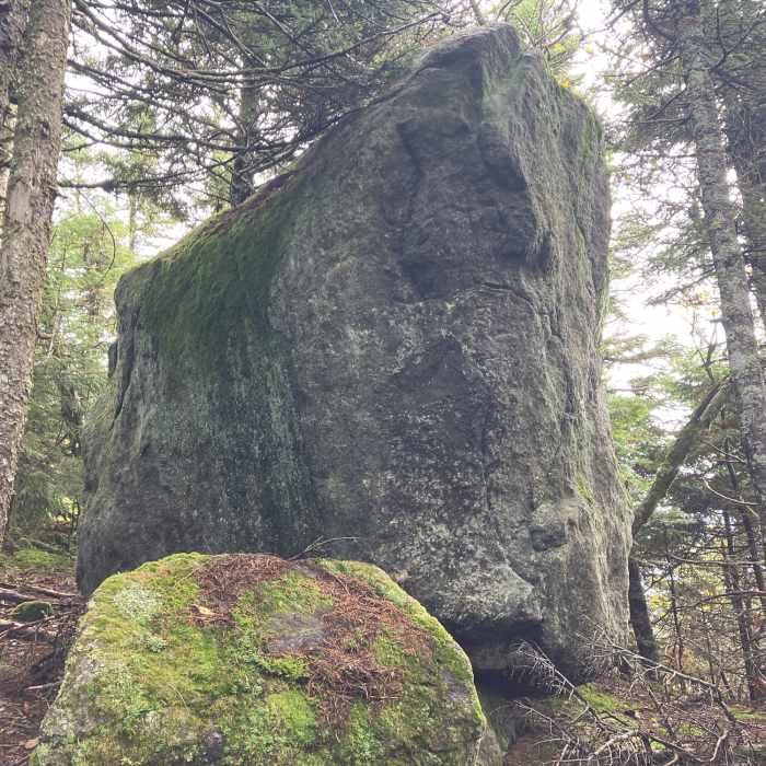
Large Boulder.

Looking for more photos?

View All Photos
View Map
Driving Directions
Hike Trail
Buy NowView in 3D

Moriah Brook Trail

4.0 (1 Rating)
This is a nice connecting trail between the Wild River Trail and the Carter-Moriah.
4.8
mi
Distance
1,903
ft
Gain
moderate
Difficulty
BirdingCommonly BackpackedFall ColorsLess CrowdedRiver/CreekWaterfall

Route Details

Flatter
Steeper
4.76mi
Distance
1,903ft
Elevation Gain
15ft
Elevation Loss
25%
Max Grade
3,126ft
High Point
1,238ft
Low Point
Path Type
Point to Point
Description
The Moriah Brook Trail runs through beautiful but dense forest, and eventually leads up to the Carter-Moriah/AT trail. This trail hugs the river almost the entire way so there are a lot of opportunities to collect water. Though the trail is fairly easy to follow, you can tell that the trail does not get a lot of traffic, so expect a lot of brush, low hanging branches, etc. If you are starting from the Wild River Trail, the hike will be a gradual incline, until you begin to approach the Carter-Moriah. At that point the trail can become difficult, so prepare for rock scrambling and I'd recommend bringing trekking poles.

Route Conditions

Report Conditions
No Condition Reports
Report Conditions

Nearby Hike Routes

Caribou Mountain Loop

Hike Route

Caribou Mountain Loop

unknown
6.5 mi
+1,970 ft
Shelburne Basins

Hike Route

Shelburne Basins

easy
1.91 mi
+406 ft
Carter Dome Via Nineteen Mile Brook

Classic Hike Route

Carter Dome Via Nineteen Mile Brook

Dogs Allowed
extreme
9.4 mi
+3,599 ft
Gentian Pond Out and Back

Hike Route

Gentian Pond Out and Back

Fall Colors
strenuous
7.59 mi
+1,471 ft
Mt. Crag

Hike Route

Mt. Crag

Cave
strenuous
2.21 mi
+669 ft
Peabody, Dream Lake and Bald Peak

Hike Route

Peabody, Dream Lake and Bald Peak

strenuous
5.71 mi
+2,206 ft
Contributors
Ashley Brotherton
