Ready to explore this trail?
View Trail Map in AppPath Type
Point to Point
This section can be done in either direction and it is very often used in conjunction with the Amity West Trail, or Lester River Trail - Duluth Traverse to create a complete loop. If doing a loop this trail is probably the best one to head 'up river' on, since it has more big ups and downs along the way, so you'll get decent climbs and descents either direction.
Starting out at Lester Park, look for this trail heading left, uphill into the woods from between the park shelter and the bridge.
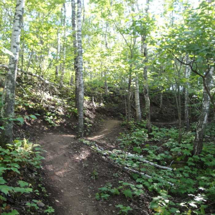
Right away, you'll feel the rolling nature of this narrow trail. Cross a couple of XC ski trails before you've made it far enough west to catch your first few glimpses of Amity Creek through the woods. Once the trail reaches the Amity Creek ravine, it follows this ravine (on the east side) upstream, rolling along all the way.
You get some great views of Gazebo Falls on Amity Creek as you hike through beautiful tall pines. After the falls, you'll cross the snowmobile trail and skirt along Seven Bridges Road for a bit.
Not much further and you'll find yourself at a spider intersection in the pines. You can opt to go left/west across Seven Bridges Road and onto Amity West Trail, or continue on Amity East by keeping to the right.
In the next section, you'll be mostly climbing, but there are plenty of short descents scattered along this segment as it rolls up the hill.
This section gets relatively rocky/rooty, especially nearest the northern end. There aren't however, any prolonged technical sections. Just one or two rocky spots.
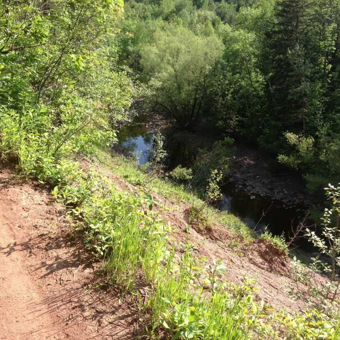
When you get the chance to safely do so, don't forget to look down and take in the views of the Amity Creek ravine as you go.
The top terminus of Amity East is at it's intersection with the Lester River Trail - Duluth Traverse. From here, go left toward the Hawk Ridge Trail and Amity West Trail, or go right to descend the Lester River Trail - Duluth Traverse back to the park where you started.
All Clear
All Clear
Looking for more condition reports?
Contributors

