Near Covered Bridge Trail
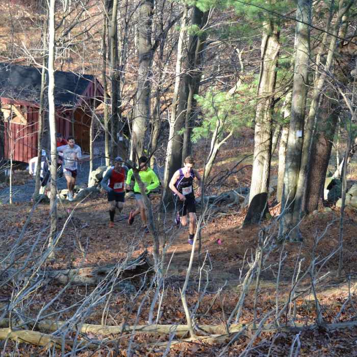
Runners heading uphill from the new Covered Bridge.
Near Covered Bridge Trail
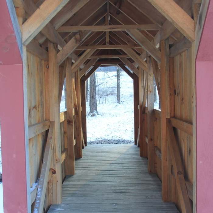
Mill Creek Covered Bridge
Near Covered Bridge Trail
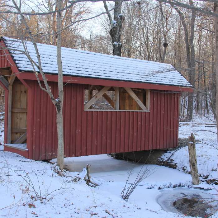
Mill Creek Covered Bridge.

Looking for more photos?

View All Photos
Driving Directions
Hike Trail

Covered Bridge Trail

4.0 (1 Rating)
A new trail from the Meadow up to Fox Hill that incorporates new Eagle Scout covered bridge project.
0.6
mi
Distance
218
ft
Gain
moderate
Difficulty
BirdingFall ColorsRiver/CreekWildflowers

Route Details

Flatter
Steeper
0.65mi
Distance
218ft
Elevation Gain
0ft
Elevation Loss
15%
Max Grade
588ft
High Point
359ft
Low Point
Path Type
Point to Point
Description
This trail heads off of the meadow area and parallels Michigan Road on a mowed path. It turns into the woods at the point where an Eagle Scout has constructed a covered bridge (summer 2015) to shelter and protect the existing footbridge. There is also a newly blazed trail that heads up from the bridge to the Fox Hill trail. This part of the trail (in the woods) can get pretty steep. It crosses several stone walls in the forest and switches back a few times to help the climb. It joins Fox Hill just below that trail's high point. Hikeers can either return to the meadow by making a left, or head to Michigan Road campground by making a right.

Route Conditions

Report Conditions
No Condition Reports
Report Conditions

Nearby Hike Routes

Rock Trail (RT) Loop

Hike Route

Rock Trail (RT) Loop

Birding
strenuous
6.62 mi
+1,319 ft
Armstrong and Richards Preserves

Hike Route

Armstrong and Richards Preserves

easy
2.55 mi
+466 ft
Mianus River Gorge Preserve

Hike Route

Mianus River Gorge Preserve

moderate
4.53 mi
+591 ft
Zofnass Preserve Perimeter

Hike Route

Zofnass Preserve Perimeter

Fall Colors
strenuous
5.53 mi
+701 ft
Butler Sanctuary

Hike Route

Butler Sanctuary

Birding
moderate
4.95 mi
+818 ft
Westmoreland Sanctuary

Hike Route

Westmoreland Sanctuary

Birding
moderate
5.22 mi
+877 ft
Contributors
Rob Cummings
