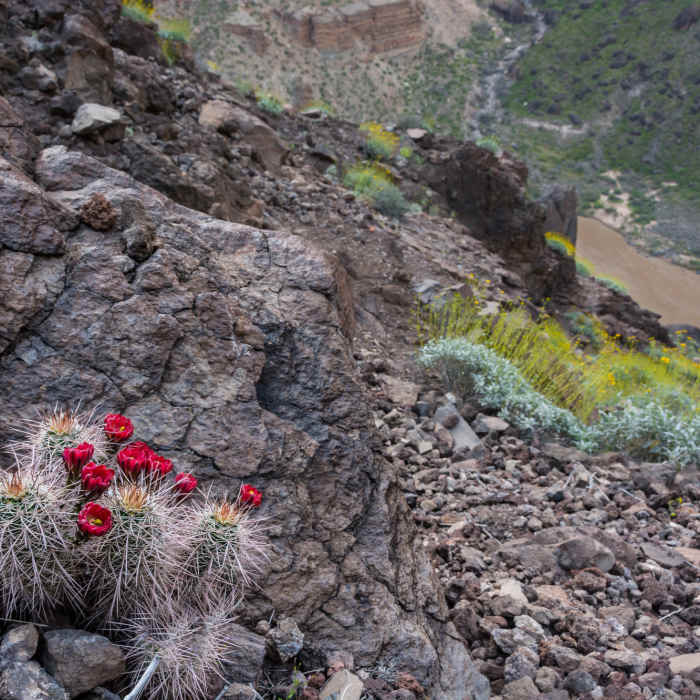
Near Lava Falls
Not a lot of switchbacks, but the spring bloom helps

Looking for more photos?

View All Photos
View Map
Driving Directions
Hike Trail

Lava Falls

3.0 (4 Ratings)
Intense and challenging or downright dangerous!
1.4
mi
Distance
256
ft
Gain
strenuous
Difficulty
River/CreekViews

Route Details

Flatter
Steeper
1.38mi
Distance
256ft
Elevation Gain
2,735ft
Elevation Loss
65%
Max Grade
4,169ft
High Point
1,686ft
Low Point
Path Type
Point to Point
Description
The park service does not recommend this extremely steep, unmaintained trail, but some folks brave it. People report needing ice axes and good route finding skills. This grueling slog through lots of loose scree and over shifting blocks of lava is treacherous because a false step can start a rock slide or launch you over a drop-off. Upon reaching river level, the trail turns right to follow the bank where you'll find a few sandy beaches and a viewpoint. The trail ends on cliffs above the famous Lava rapid where, if you're lucky, you'll see rafters caroming through. There is no shade or water on this serious excursion so plan accordingly. (River water must be filtered prior to drinking) The Mobile App may be useful for wayfinding but make sure your data is current and you device charged!

Route Conditions

Report Conditions
No Condition Reports
Report Conditions

Nearby Hike Routes

Find more hikes near: Supai, Arizona
Whitmore Trail

Hike Route

Whitmore Trail

River/Creek
strenuous
2.22 mi
+969 ft
Havasu Falls

Hike Route

Havasu Falls

Birding
strenuous
18.78 mi
+3,030 ft
Havasu Canyon Trail

Hike Route

Havasu Canyon Trail

River/Creek
strenuous
31.63 mi
+9,835 ft
Mooney + Beaver Falls Hike from Supai

Hike Route

Mooney + Beaver Falls Hike from Supai

Views
moderate
9.08 mi
+2,592 ft
Hayduke Trail: Section 14

Hike Route

Hayduke Trail: Section 14

Waterfall
extreme
70.63 mi
+7,335 ft
Deer Creek Trail

Hike Route

Deer Creek Trail

Views
moderate
3.14 mi
+2,095 ft
Contributors
Megan W
