Ready to explore this trail?
View Trail Map in AppPath Type
Loop
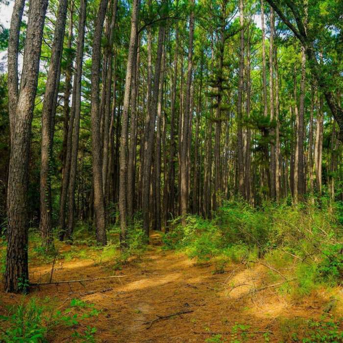
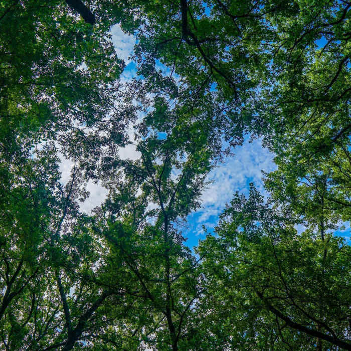
This trail begins either at the Bois d'Arc Trailhead/Campgrounds or at a small parking area just off FM 409. The trail at the campground begins just inside the gate and then follows along the road inside the fenced federal property for about 0.1 mile before coming to the day use parking area. The path follows the road for another short distance and then dives into a heavily treed forest that provides plenty of shade for hot days. The forest consists largely of hardwood trees with dense stands of pines mixed here and there.
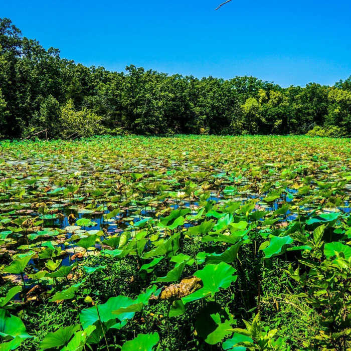
The path is singletrack, with short sections that widen out, due to trail work. It is a sandy consistency which makes for easier hiking when wet, but can certainly drain you when dry and loose. As you travel in a southeastern direction you eventually come to a small gate that is typically closed and marks where the trail turns sharply back to the west. Just on the other side of the gate is another dispersed camping area with composting toilets and potable water that is great for refilling your bottles. After the sharp turn the trail becomes less straight and leisurely winds through the forest as you near the shores of Coffee Mill Lake. Pay attention to the map and trail markers in this area, as there are many unmarked paths that lead to the lake's shore that can create a bit of a maze. You continue north and eventually end back at the Bois d'Arc camping area.
Overall it is a great trail with lots of shade, wildlife, and solitude. I would certainly recommend any hike in the Caddo National Grasslands, if not for the solitude alone. This is a lush 17,000 acre federal green space that is largely utilized by hunters, in season, and equestrian, but provides great access to nature, outdoors and solitude.
No Condition Reports
Contributors

