Ready to explore this trail?
View Trail Map in AppDogs must be leashed during the winter.
Path Type
Point to Point
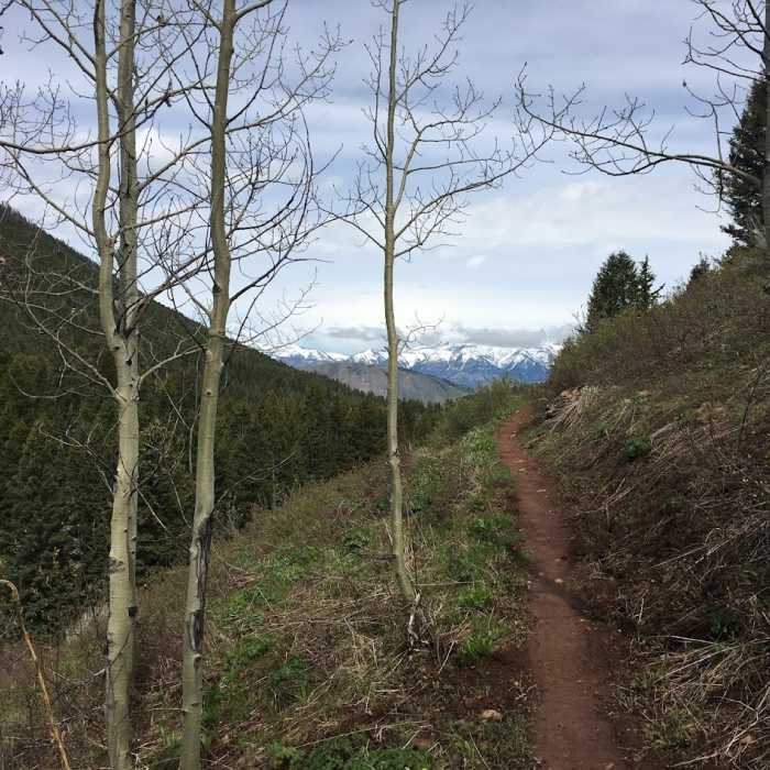
This well designed, on-the-contour trail winds through open sagebrush, Aspen stands and Lodgepole forested sections with beautiful views of town and the Teton Range. The grade is fairly mellow, and the tread smooth with a few rock gardens at the lower end. It winds in and out of drainages, and dumps out on to the Cache Creek Road with connections to trails on the north facing slope of the drainage, e.g., the Hagen Trail. From Hagen you can connect to Ferrins, or Sink or Swim, or many other trails in the Greater Snow King Area, the town's local ski hill on the north facing slope of the Cache Creek drainage. You can also continue a short ways up the Cache Creek road to the Game Creek Trail for a larger loop.
To access from Cache Cr Road from the town square in Jackson, head down Broadway, through the town square, past the hospital. Take a right at the stop sign onto Redmond Drive. Follow this down the climb a little bit up the hill and take the left onto Cache Cr Drive. Follow this for a bit the road will turn to dirt and youll go up another small hill. On the left youll see a kiosk and small parking area. This is the main trailhead for Putt Putt Trail. The trail winds up through aspen and sagebrush, switchbacking several times. Or hike up the Cache Creek Rd., which is closed to motorized traffic, making a loop by descending, rather than climbing the trail.
No Condition Reports
Contributors

