Near PCT: Highway 10 to Highway 15 (Cajon Pass)
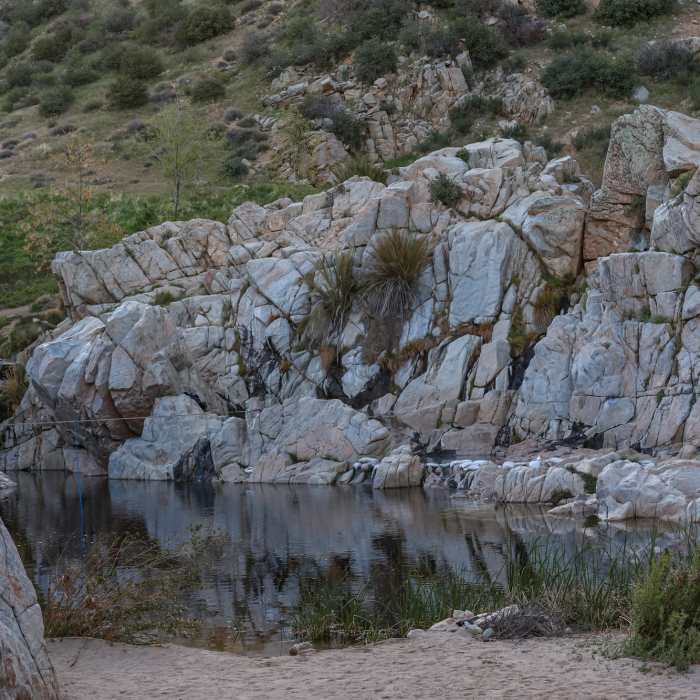
One of the warm soaking pools, set just beside the creek's edge.
Near PCT: Highway 10 to Highway 15 (Cajon Pass)
Several of the hot springs pools, each at varying temperatures, in the rocks at Deep Creek Hot Springs.
Near PCT: Highway 10 to Highway 15 (Cajon Pass)
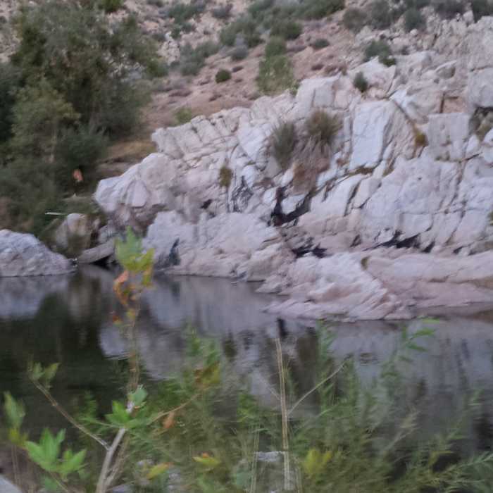
Deep Creek.
Near PCT: Highway 10 to Highway 15 (Cajon Pass)
Swimming across the creek is the last obstacle before reaching the pools.
Near PCT: Highway 10 to Highway 15 (Cajon Pass)
Deep creek.

Looking for more photos?

View All Photos
Driving Directions
Hike Trail

PCT: Highway 10 to Highway 15 (Cajon Pass)

3.0 (5 Ratings)
A gorgeous singletrack running up and down the hills from the San Bernardino Mountain Range down to the Cajon Pass.
128.5
mi
Distance
21,638
ft
Gain
moderate
Difficulty
Lake

Route Details

Flatter
Steeper
128.53mi
Distance
21,638ft
Elevation Gain
19,988ft
Elevation Loss
60%
Max Grade
8,732ft
High Point
1,354ft
Low Point
Path Type
Point to Point
Description
This section of the PCT "starts" just north of I-10, west of Whitewater, CA. It begins generally north into the San Bernardino National Forest; the high point comes at 8,719 feet before flattening out as it hooks left and passes near Big Bear Lake. Then it begins to head down toward Lake Arrowhead and continues to lose elevation before crossing Interstate 15 at Cajon Pass near Silverwood Lake State Recreation Area. There is a gas station and McDonald's on the I-15 side of the trail.

Route Conditions

Report Conditions
No Condition Reports
Report Conditions

Nearby Hike Routes

Pacific Crest Trail: California Section C

Hike Route

Pacific Crest Trail: California Section C

Lake
extreme
127.03 mi
+21,199 ft
Sand to Snow Monument

Hike Route

Sand to Snow Monument

Views
extreme
30.09 mi
+9,286 ft
Cottonwood Canyon to Red Dome

Hike Route

Cottonwood Canyon to Red Dome

Views
extreme
16.48 mi
+3,313 ft
Fuller Ridge to San Jacinto

Hike Route

Fuller Ridge to San Jacinto

Views
extreme
22.12 mi
+9,698 ft
Canyon View Loop

Hike Route

Canyon View Loop

Dogs Allowed
easy
3.8 mi
+689 ft
Mission Creek Lollipop

Hike Route

Mission Creek Lollipop

strenuous
12.36 mi
+1,719 ft
Contributors
Alex Bridgeforth
