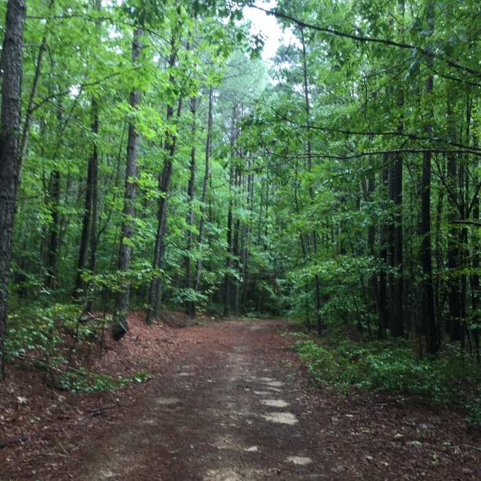
Near Winthrop Trail
Pine needle covered trail

Looking for more photos?

View All Photos
Driving Directions
Hike Trail

Winthrop Trail

4.0 (1 Rating)
A narrow trail that leads back to the street close to the visitor center.
1.3
mi
Distance
45
ft
Gain
moderate
Difficulty
BirdingFall ColorsSpringWildflowersWildlife

Route Details

Flatter
Steeper
1.29mi
Distance
45ft
Elevation Gain
30ft
Elevation Loss
5%
Max Grade
293ft
High Point
258ft
Low Point
Path Type
Point to Point
Description
This trail feeds off Griffin Trail if you start from the Horse Trail parking area. The trail ends at the road and does not connect to the visitors center.

Route Conditions

Report Conditions
No Condition Reports
Report Conditions

Nearby Hike Routes

Pine Rock - Ford's - Pegram - Corse

Hike Route

Pine Rock - Ford's - Pegram - Corse

Birding
moderate
3.46 mi
+156 ft
Radcliffe Conservation Area Loop

Hike Route

Radcliffe Conservation Area Loop

Birding
strenuous
2.82 mi
+87 ft
Colonial Heights Appomattox River Trail - Northern Section

Hike Route

Colonial Heights Appomattox River Trail - Northern Section

Birding
easy
3.05 mi
+33 ft
Bright Hope Trail and Otter Lick Loop

Hike Route

Bright Hope Trail and Otter Lick Loop

Birding
moderate
6.85 mi
+234 ft
PB&J 5k Loop

Hike Route

PB&J 5k Loop

Birding
easy
3.23 mi
+121 ft
Petersburg Battlefield Trail

Hike Route

Petersburg Battlefield Trail

Fall Colors
moderate
7.12 mi
+240 ft
Contributors
Omar Delgado
