Ready to explore this trail?
View Trail Map in AppThis is a multi-use trail. Be conscientious and watch for other trail users.
Path Type
Loop
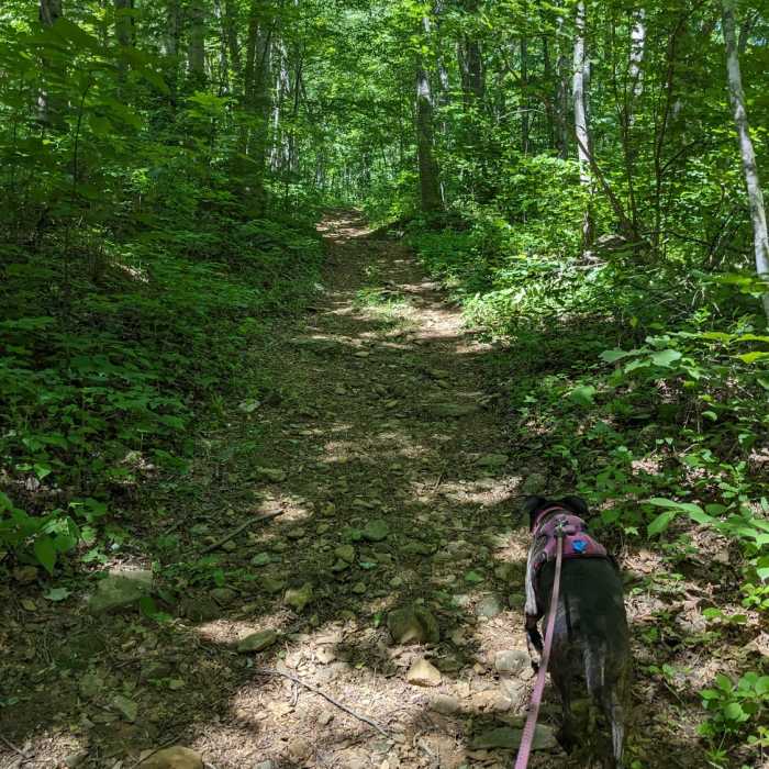
If you ever wondered what it would be like to hike straight up the side of a steep mountain, then you've come to the right place! This trail is mostly a rocky fire road that was made long before hiking became popular, and they clearly weren't concerned about making switchbacks to maintain a climbable grade.
Start at the intersection with the Blue Ledge Trail and head south along a moderate climb to reach the Blackwell's Trail. Although it's a black diamond trail, taking the Blackwell's Trail cuts off the steepest and most relentless part of climbing on the Little Flat Mountain Loop.
I recommend hikers bypass this section unless you're looking for the physical challenge. There isn't anything technical, but the grade is incredibly steep. Hiking up Blackwell's Trail is a much better option.
From the upper intersection with the Blackwell's Trail to the top of the park's highest point is a fun challenge. It's uphill the whole time, but there are three major climbs. At the top of the third climb you'll find yourself at the very top of the park!
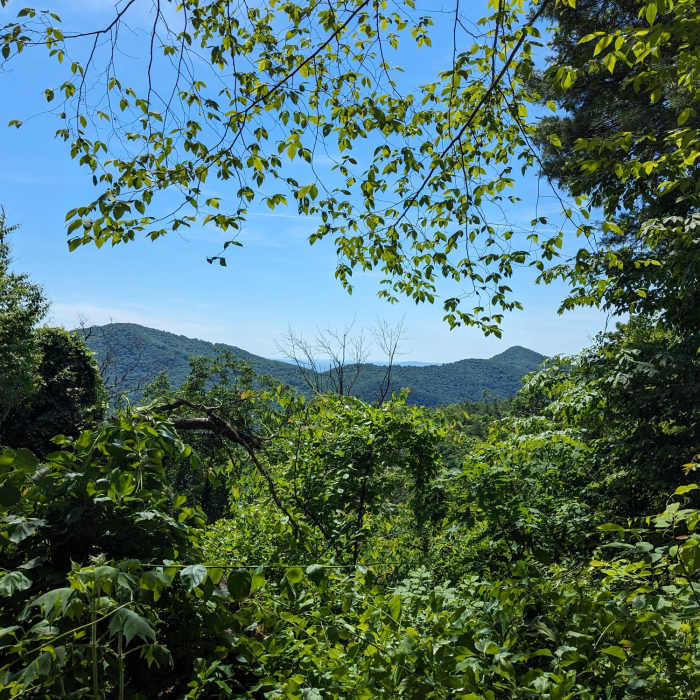
Just as you start downhill you'll find a beautiful overlook. There's a bench and an amazing view of the mountainous terrain in this area. This is a great place to stop and eat before you start the downhill part of the trail.
This is where all of the climbing you just endured truly pays off. Continuing clockwise on the Little Flat Mountain Loop, you'll be served some enjoyable downhill singletrack to reward you for your earlier efforts.
Hikers will soon come to the picnic area and the first of three descent options. The first option is to hang a left on the rocky singletrack of the Crooked Tree Trail. Or, continue straight through the picnic area and start on a new section of wide machine cut trail which then returns to rocky steep fire road. Further down, hikers can engage the third option by splitting off onto the Blue Ledge Trail.
No Condition Reports
Contributors

