Ready to explore this trail?
View Trail Map in AppWilderness permits are required, but they are easily obtained at any Stanislaus Forest ranger station. All of the area is above 9000 feet so campfires are not allowed. Dogs are supposed to be on leash.
Path Type
Point to Point
The signed Sandpiper Lake Trail branches from the JMT near Rose Marie Meadow at an elevation of 10,000 feet. It makes a short, easy climb through a mostly lodgepole pine forest to Lou Beverly Lake. This large, shallow lake is filled on the south side with a remarkably thick layer of grassy reeds.
The trail passes around the southern end of the lake, crosses a stream, and begins a sometimes steep, rocky climb up to Sandpiper Lake. There is a lively waterfall near the top. As you climb, the valley containing the upper lakes cannot be seen because the ridge that separates it from the Marie Lake valley does not start until Sandpiper Lake.
Sandpiper Lake is wide and shallow with only a few scattered trees. There is good fishing. The campsites are open and can be windy.
From Sandpiper to Three Island Lake, there is very little elevation change. Medley Lake, in between, is essentially a series of wide spots in the stream.
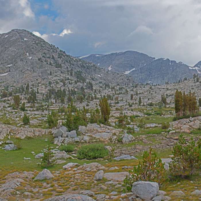
The trail bypasses Medley Lake and climbs on the east side of a small stream over a very low gap to a valley east of Medley. The entire area is mostly covered by grassy meadows and granite with scattered hemlock and lodgepole pines. A lot of water must seep down from the eastern ridge, because there are small streams everywhere. The trail disappears, but the area is so open and gentle that you can go any way that you want.
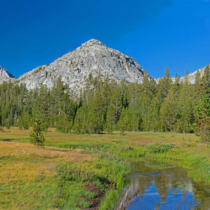
The shallow valley east of Medley Lake is remarkably pleasant. Except for a tiny section to the north, it is surrounded on all sides by high granite slopes. There are small ponds, a stream, and a 500 foot cascade coming down from the eastern cliffs.
From here to Three Island, the ground is mostly granite with many tiny ponds and glacial grooves, many with sides so steep that you are forced to look for a way around the ponds or a place to cross the grooves. A very low gap takes you to the middle of Three Island Lake, but the gap is filled with small ponds. I found it easier to climb a little higher on the slopes to the right.
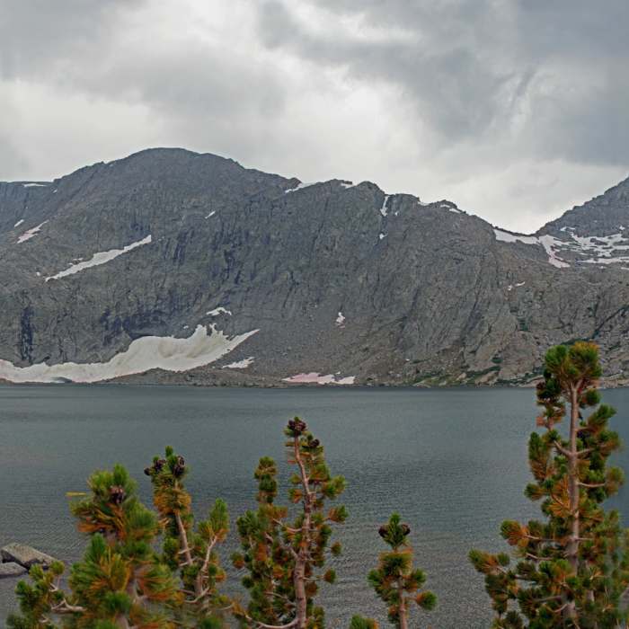
Three Island is a large, magnificent lake surrounded by granite on all sides, with great views of Mt. Senger to the south and the Seven Gables to the north.
No Condition Reports
Contributors

