Near Yellow Trail
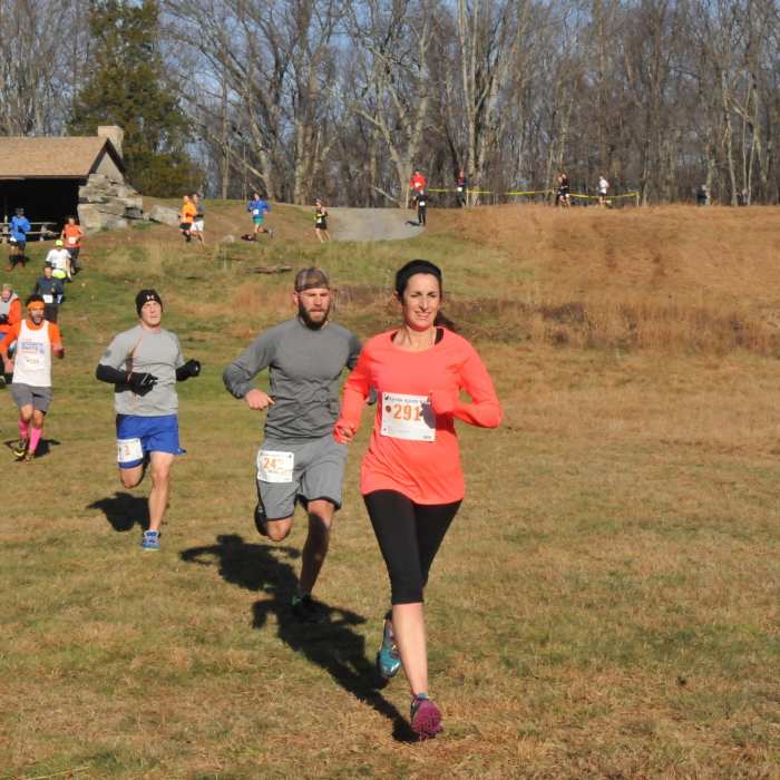
Runners crossing Michigan Road campground area.

Looking for more photos?

View All Photos
View Map
Driving Directions
Hike Trail

Yellow Trail

3.0 (2 Ratings)
The yellow trail is a shorter version of the Red Trail with no overlook -- but a lot shorter.
2.5
mi
Distance
318
ft
Gain
moderate
Difficulty
BirdingFall ColorsWildlife

Route Details

Flatter
Steeper
2.5mi
Distance
318ft
Elevation Gain
306ft
Elevation Loss
20%
Max Grade
778ft
High Point
500ft
Low Point
Path Type
Point to Point
Description
The Yellow Trail starts and ends from the Michigan Road parking lot. Some overlap with the eastern part of the Red Trail with several white connector trails that can extend or shorten the 2.5-mile loop depending on what you are looking for. Parts of the trail follow old farm roads that have become part of the forest again with rough stone walls from the 1800s lining parts of it. In the spring, several vernal pools appear after the snowmelt and spring peepers loudly proclaim their presence.

Route Conditions

Report Conditions
Anonymous Adventurer
All Clear
Looking for more condition reports?
View History

Nearby Hike Routes

Rock Trail (RT) Loop

Hike Route

Rock Trail (RT) Loop

Birding
strenuous
6.62 mi
+1,319 ft
Armstrong and Richards Preserves

Hike Route

Armstrong and Richards Preserves

easy
2.55 mi
+466 ft
Mianus River Gorge Preserve

Hike Route

Mianus River Gorge Preserve

moderate
4.53 mi
+591 ft
Zofnass Preserve Perimeter

Hike Route

Zofnass Preserve Perimeter

Fall Colors
strenuous
5.53 mi
+701 ft
Westmoreland Sanctuary

Hike Route

Westmoreland Sanctuary

Birding
moderate
5.22 mi
+877 ft
Butler Sanctuary

Hike Route

Butler Sanctuary

Birding
moderate
4.95 mi
+818 ft
Contributors
Rob Cummings
