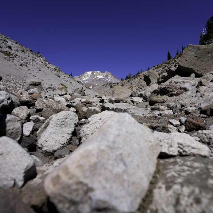
Near Timberline Lodge to Zig Zag Canyon

Looking for more photos?

View All Photos
View Map
Driving Directions
Hike Route
Buy Now View in 3D

Timberline Lodge to Zig Zag Canyon

No rating
This round-trip hike along the Pacific Crest Trail leads from the historic Timberline Lodge to an overlook of Zig Zag Canyon on the southern slopes of Mount Hood.
4.6
mi
Distance
923
ft
Gain
moderate
Difficulty
ViewsWildflowers

Route Details

Flatter
Steeper
4.64mi
Distance
923ft
Elevation Gain
923ft
Elevation Loss
30%
Max Grade
6,092ft
High Point
5,417ft
Low Point
Path Type
There and Back
Description
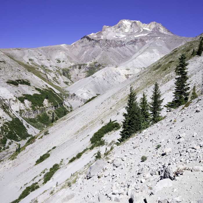
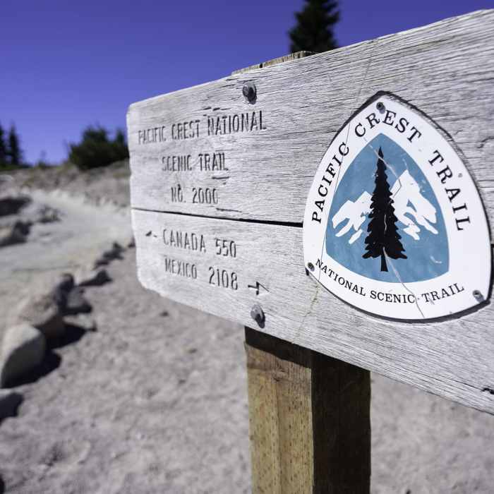
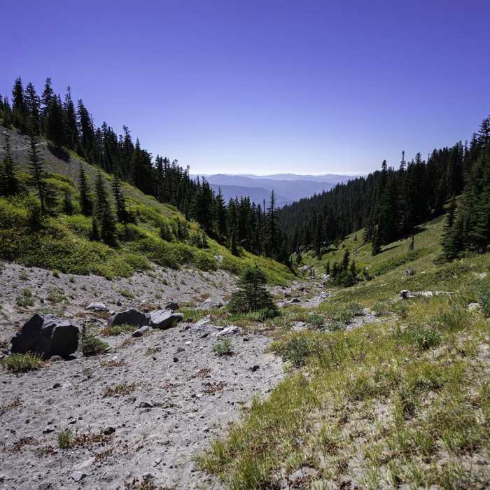
The Timberline Lodge to Zig Zag Canyon hike is a scenic 4.6-mile round-trip route along the Pacific Crest Trail (PCT) on the southern slopes of Mount Hood. Starting at the historic Timberline Lodge at an elevation of approximately 6,000 feet, this trail offers immediate and expansive views of the Oregon Cascades and distant lakes to the south. From the lodge parking area, the trail follows a maintenance road for about a quarter-mile before turning left onto the PCT. The route travels through open, sandy alpine terrain and passes beneath two ski chairlifts. In summer, these subalpine meadows are filled with vibrant wildflowers. The trail trends gradually downhill on the outbound journey, meaning hikers will face a moderate climb of around 920 feet on the return trip. After entering the Mount Hood Wilderness—where a free wilderness permit is required—the trail winds through dense old-growth forest and passes the junction for the Hidden Lake Trail (No. 779). After crossing a dry gully, the route arrives at the Zig Zag Overlook on the edge of the canyon. This dramatic turnaround point offers views of the Zig Zag River sweeping through the deep canyon below, with the peak of Mount Hood towering directly above. Note that there is no treated drinking water available along the trail.

Route Conditions

Report Conditions
No Condition Reports
Report Conditions

Nearby Hike Routes

Mountaineer Loop Trail #798

Hike Route

Mountaineer Loop Trail #798

Views
strenuous
2.78 mi
+1,118 ft
Paradise Park Loop 757 via Pacific Crest Trail

Hike Route

Paradise Park Loop 757 via Pacific Crest Trail

Views
strenuous
12.24 mi
+2,886 ft
Pacific Coast Trail: Mount Hood Wilderness

Hike Route

Pacific Coast Trail: Mount Hood Wilderness

Views
extreme
28.39 mi
+7,541 ft
Mount Hood Summit via South Side/Old Chute

Classic Hike Route

Mount Hood Summit via South Side/Old Chute

Scenic
extreme
7 mi
+5,454 ft
PCT: Timberline Lodge to Hwy 35 Out and Back

Hike Route

PCT: Timberline Lodge to Hwy 35 Out and Back

Views
strenuous
5.01 mi
+15 ft
Government Camp Loop

Hike Route

Government Camp Loop

Fall Colors
moderate
4.85 mi
+460 ft
Contributors
onX Maps, Inc
