Near Paradise Park Loop 757 via Pacific Crest Trail

Looking for more photos?

View All Photos
View Map
Driving Directions
Hike Route
Buy Now View in 3D

Paradise Park Loop 757 via Pacific Crest Trail

No rating
A scenic 12.2-mile loop trail starting from Timberline Lodge on Mount Hood, featuring a steep descent into Zigzag Canyon and a climb to the vibrant subalpine wildflower meadows of Paradise Park.
12.2
mi
Distance
2,886
ft
Gain
strenuous
Difficulty
ViewsWildflowers

Route Details

Flatter
Steeper
12.24mi
Distance
2,886ft
Elevation Gain
2,886ft
Elevation Loss
50%
Max Grade
6,092ft
High Point
4,767ft
Low Point
Path Type
Loop
Description
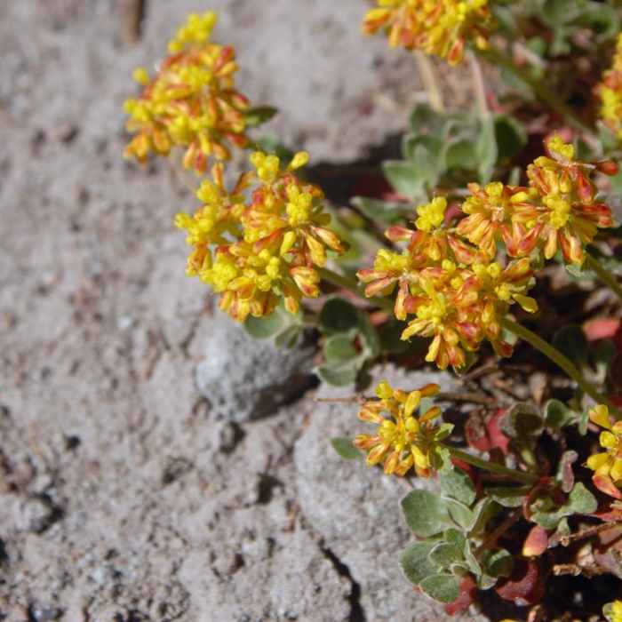
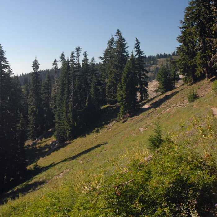
The Paradise Park Loop 757 via Pacific Crest Trail is a scenic 12.2-mile loop hike starting from the historic Timberline Lodge on the southern slopes of Mount Hood. This route is highly regarded for its subalpine terrain, expansive wildflower displays in late summer, and panoramic views of the Cascade Range and Mount Hood's peak. Beginning at Timberline Lodge, the route follows the Pacific Crest Trail (PCT) west through stands of mountain hemlock and Sitka mountain ash before arriving at the rim of Zigzag Canyon. Hikers must descend roughly 1,000 feet into the canyon, cross the Zigzag River, and climb back up the other side. After ascending out of the canyon, the Paradise Park Loop Trail #757 splits right from the PCT to loop through the high alpine meadows of Paradise Park. In late summer, these pristine meadows bloom with lupine, paintbrush, western pasque flower, Cascade aster, and arrowleaf groundsel, while glacier-fed streams are lined with species like Lewis's monkeyflower. The trail loops through the park, offering access to numerous backcountry campsites, before rejoining the PCT for the return journey across Zigzag Canyon back to Timberline Lodge. The entire loop features a cumulative elevation gain of approximately 2,886 feet, with elevations ranging from 4,767 feet in the canyon to 6,092 feet at the highest point.

Route Conditions

Report Conditions
No Condition Reports
Report Conditions

Nearby Hike Routes

Mountaineer Loop Trail #798

Hike Route

Mountaineer Loop Trail #798

Views
strenuous
2.78 mi
+1,118 ft
Timberline Lodge to Zig Zag Canyon

Hike Route

Timberline Lodge to Zig Zag Canyon

Views
moderate
4.64 mi
+923 ft
Pacific Coast Trail: Mount Hood Wilderness

Hike Route

Pacific Coast Trail: Mount Hood Wilderness

Views
extreme
28.39 mi
+7,541 ft
Mount Hood Summit via South Side/Old Chute

Classic Hike Route

Mount Hood Summit via South Side/Old Chute

Scenic
extreme
7 mi
+5,454 ft
PCT: Timberline Lodge to Hwy 35 Out and Back

Hike Route

PCT: Timberline Lodge to Hwy 35 Out and Back

Views
strenuous
5.01 mi
+15 ft
Government Camp Loop

Hike Route

Government Camp Loop

Fall Colors
moderate
4.85 mi
+460 ft
Contributors
onX Maps, Inc
