
Near New Twin Peaks Trail
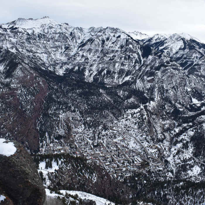
Ouray and the Amphitheater shine after a dusting of snow.
Near New Twin Peaks Trail
The Hayden Mountain ridgeline is comprised of Point 12,578 on the left and Hayden Mountain North on the right. The true summit of Hayden Mountain lies just out of sight on the right.
Near New Twin Peaks Trail
Awesome view from Top of Twin Peaks - Looking down on Ouray
Near New Twin Peaks Trail
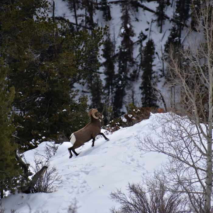
You can still find plenty of life at 10,000 feet.
Near New Twin Peaks Trail
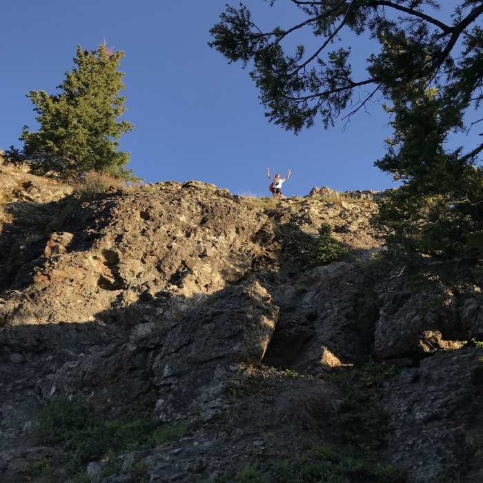
Took Old Twin Peaks Trail to New - This is the final 3 point scramble to the summit. Very doable.

Looking for more photos?

View All Photos
View Map
Driving Directions
Hike Trail

New Twin Peaks Trail

4.3 (7 Ratings)
2.2
mi
Distance
2,177
ft
Gain
moderate
Difficulty
Views

Route Details

Flatter
Steeper
2.16mi
Distance
2,177ft
Elevation Gain
478ft
Elevation Loss
50%
Max Grade
10,634ft
High Point
8,814ft
Low Point
Path Type
Point to Point
Description
Giving wide berth to Oak Creek, this roundabout route up Twin Peaks takes advantage of easier grades than the more direct, but more lung-busting Old Twin Peaks Trail. Dropping about eighty feet to cross Oak Creek at one point, the worst of it comes with a 500 foot climb to its intersection with the old trail. Where the new and the old meet, the New Twin Peaks Trail flattens through an expansive field of aspen trees. Don't let the tranquility fool you, as this area is a minefield of deadfall. Keep your eyes and ears open for any subtle groaning above you, because I counted 4 or 5 massive trees that forced me to reroute, and a couple handfuls of smaller trunks that had fallen on or near the trail. The climb stays relatively level for the next half mile before building again in one last push towards Sister Peak. At mile 2.1, the trail crests the bald ridge connecting Sister Peak to Twin Peaks. Turning west, Twin Peaks lies just 0.3 miles uphill with unbroken views to Ridgway, Ouray, Yankee Boy Basin, the Amphitheater, and every high peak within a five mile radius.

Route Conditions

Report Conditions
No Condition Reports
Report Conditions

Nearby Hike Routes

Oak Creek Overlook

Hike Route

Oak Creek Overlook

Birding
strenuous
5.65 mi
+2,560 ft
New Twin Peaks Trail

Classic Hike Route

New Twin Peaks Trail

Birding
strenuous
5.76 mi
+3,039 ft
Box Canyon Hike

Hike Route

Box Canyon Hike

Family Friendly
moderate
0.28 mi
+406 ft
Sutton Mine Trail to the Neosho Mine

Classic Hike Route

Sutton Mine Trail to the Neosho Mine

Birding
moderate
4.01 mi
+1,232 ft
Perimeter Trail

Classic Hike Route

Perimeter Trail

Family Friendly
moderate
4.93 mi
+1,833 ft
Gold Belt Trail (Old Horsethief)

Classic Hike Route

Gold Belt Trail (Old Horsethief)

Less Crowded
strenuous
4.85 mi
+2,718 ft
Contributors
onX Maps, Inc
