Near Beaver Pond Trail
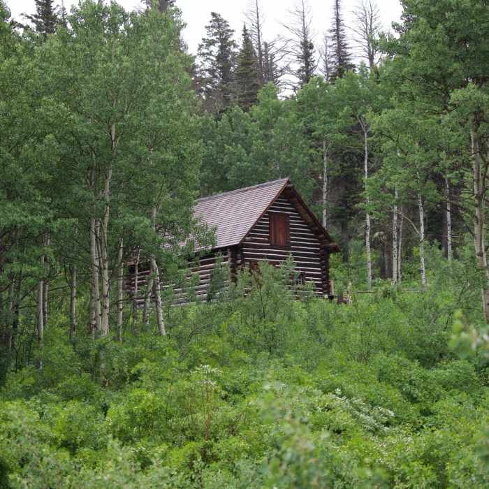
There are some NPS buildings at the beginning of the trail. The vegetation is a indication of things to come.
Near Beaver Pond Trail
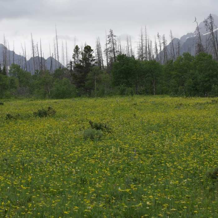
In the spring, the trail passes through a field of wildflowers.
Near Beaver Pond Trail
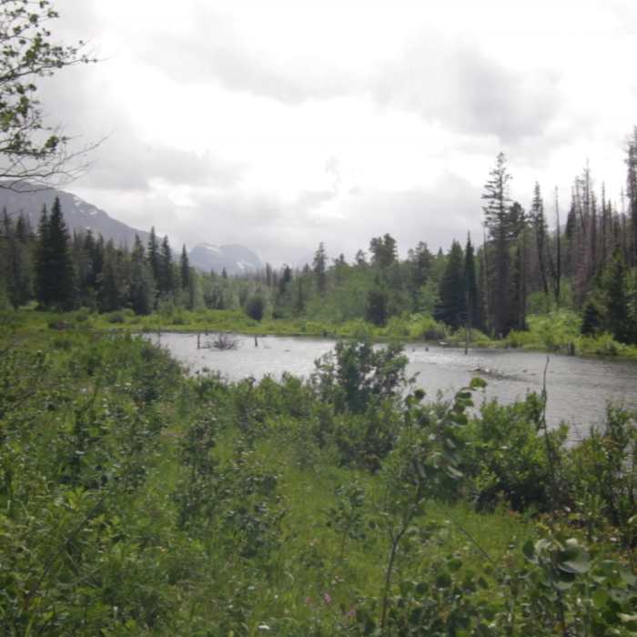
View of Beaver Pond

Looking for more photos?

View All Photos
View Map
Driving Directions
Hike Trail

Beaver Pond Trail

3.3 (4 Ratings)
A nice route through a mix of burned/unburned forest and meadows to a lovely pond.
1.8
mi
Distance
304
ft
Gain
moderate
Difficulty
BirdingFamily FriendlyRiver/CreekSpringViewsWildflowersWildlife
Access Issues
Bring bear spray.

Route Details

Flatter
Steeper
1.75mi
Distance
304ft
Elevation Gain
71ft
Elevation Loss
15%
Max Grade
4,768ft
High Point
4,535ft
Low Point
Path Type
Point to Point
Description
This easy trail starts at the historic 1913 ranger station which is no longer staffed. The trail works up through an older forest and wonderful meadow mix. Wildflowers are incredible in this area. After a short stint through an older forest that has a haunted feel, you emerge to more incredible flower meadows. You then enter a combination of burned forest and meadows. The birding is great here as is the continuing wildflowers that start in the spring and extend into the summer. You eventually reach the small beaver pond which introduces some waterfowl. The trail continues on, moving through more burned lodgepole with aspen forests until it intersects the Red Eagle Trail. Follow this back to the ranger station to complete a loop. This content was created by Jake Bramante of Hike 734. Visit https://www.hike734.com for more expert Glacier content and maps that help you decide which trail to hike.

Route Conditions

Report Conditions
No Condition Reports
Report Conditions

Nearby Hike Routes

Beaver Pond Loop

Hike Route

Beaver Pond Loop

Lake
easy
3.41 mi
+341 ft
Otokomi Lake

Hike Route

Otokomi Lake

Birding
strenuous
10.87 mi
+2,271 ft
Saint Mary Falls from Sun Point

Hike Route

Saint Mary Falls from Sun Point

Less Crowded
easy
4.55 mi
+528 ft
Continental Divide Trail: Siyeh Pass Alternate

Hike Route

Continental Divide Trail: Siyeh Pass Alternate

Views
strenuous
7.4 mi
+3,452 ft
Baring Falls

Hike Route

Baring Falls

Family Friendly
moderate
0.65 mi
+168 ft
St. Mary / Virginia Falls

Hike Route

St. Mary / Virginia Falls

Birding
moderate
1.54 mi
+313 ft
Contributors
Jake Bramante
