Near Bridle Trail: South Chagrin to Bedford Reservation
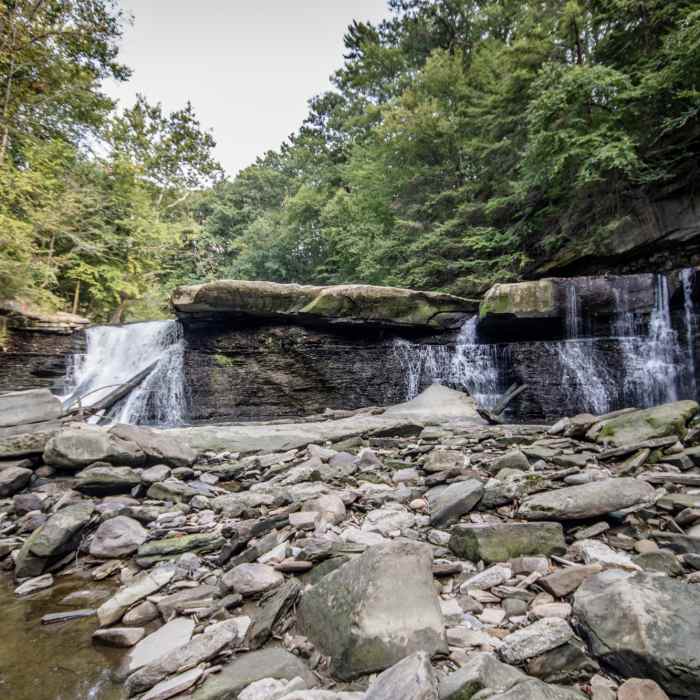
Great Falls at Tinker's Creek.
Near Bridle Trail: South Chagrin to Bedford Reservation
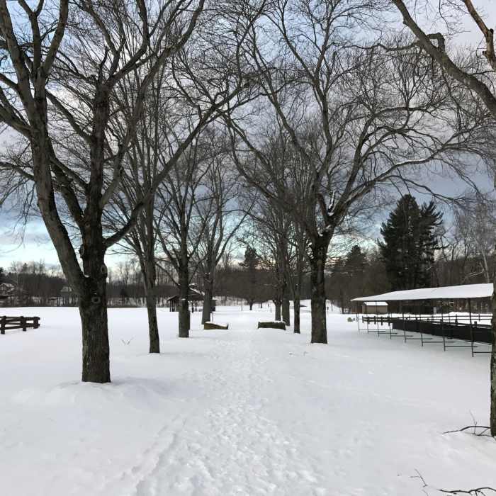
Pathway through polo fields, covered in snow.

Looking for more photos?

View All Photos
Driving Directions
Hike Trail

Bridle Trail: South Chagrin to Bedford Reservation

4.0 (3 Ratings)
The Bridle Trail is an enjoyable trail that is designed for horses as well as people, making it easily accessible.
13.6
mi
Distance
1,219
ft
Gain
moderate
Difficulty
Fall ColorsFamily FriendlyRiver/CreekViewsWaterfallWildlife

Route Details

Flatter
Steeper
13.64mi
Distance
1,219ft
Elevation Gain
1,021ft
Elevation Loss
25%
Max Grade
1,232ft
High Point
784ft
Low Point
Path Type
Point to Point
Description
This trail runs through the Cleveland Metroparks' South Chagrin Reservation and Bedford Reservation. There are several picnic areas and many other trails surrounding the Bridle Trail.

Route Conditions

Report Conditions
No Condition Reports
Report Conditions

Nearby Hike Routes

Frohring Meadows South Loop

Hike Route

Frohring Meadows South Loop

Birding
easy
1.58 mi
+15 ft
Acacia Park Trail Loop

Hike Route

Acacia Park Trail Loop

Fall Colors
moderate
2.99 mi
+120 ft
North Chagrin Mega Loop

Hike Route

North Chagrin Mega Loop

Fall Colors
moderate
7.8 mi
+530 ft
Patented EZ 7

Hike Route

Patented EZ 7

Fall Colors
easy
7.47 mi
+181 ft
Buckeye Trail - Cuyahoga Valley Section

Hike Route

Buckeye Trail - Cuyahoga Valley Section

Fall Colors
extreme
38.72 mi
+3,149 ft
Euclid Creek Reservation All Purpose Trail

Hike Route

Euclid Creek Reservation All Purpose Trail

Fall Colors
easy
4.83 mi
+267 ft
Contributors
Melanie Graham
