Ready to explore this trail?
View Trail Map in AppPath Type
Point to Point
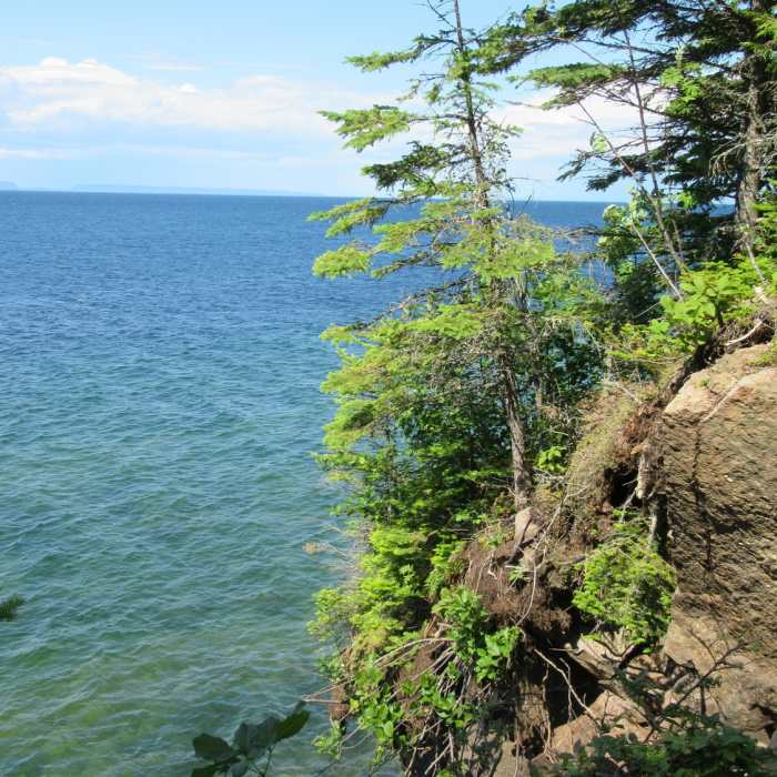
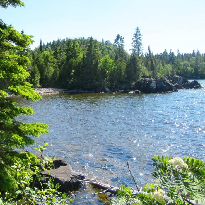
Spectacular views of the rocky shore of Lake Superior at trail's end reward the avid hiker. Huginnin Cove is a scenic day stop or an overnight stay at the beachside camp sites. The trail is narrow and densely overgrown with head high foliage, dense forest and crosses many streams and buggy marshes with foot-wide planking. A few heavily wooded ridges must be tackled, and the up and down can be strenuous.
In taking the East Huginnin Cove Trail, to get there, depart from Windigo along the 1.4-mile Washington Creek Trail. Shortly after crossing the Washington Creek bridge, the trail reaches the junction of the West Huginnin Cove Trail (which can be taken on the way back) and the Minong Ridge Trail which one climbs for 0.6 miles to the signpost for the East Huginnin Cove Trail. Head north along this trail, and after a series of four plank crossings, the first stop is the ruins of a log cabin that once supported a copper mining operation. Continue northward across another set of planks and descend along a rocky outcrop to another log cabin ruin before reaching a pond a half mile into the trail. Moose can sometimes be seen foraging in the pond in mid-day.
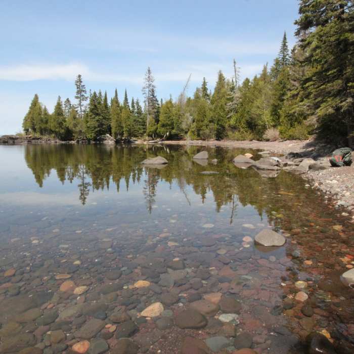
Another moderate climb must be accomplished before reaching the rocky bluffs of Lake Superior along the western shore of Isle Royale. Continue along the bluff westward for elevated views of the lake. At the 3.3-mile mark, the trail descends to the shores of Huginnin Cove, where there are campsites and a vault toilet. At the Cove, visitors can soak their feet in the cold water, skip stones on the cobblestone beach and enjoy the views of the lake and sea birds.
There is a marker for the West Huginnin Cove Trail, which can be explored for the return trip.
No Condition Reports
Contributors

