Ready to explore this trail?
View Trail Map in AppPath Type
Point to Point
This section starts at Birch Glen Camp and climbs up to Cowles Cove Shelter.
From here, the trail climbs up to the open ledges of Burnt Rock Mountain. The descent from the north side of the mountain gets a little more technical, as it consists of ropes and ladders. The trail crosses into Camel's Hump State Park and climbs over the peaks of Mount Ira Allen and Mount Ethan Allen. The trail descends the ridgeline, then turns left (at Allis Trail). In a short distance, you'll reach Montclair Glen Lodge.
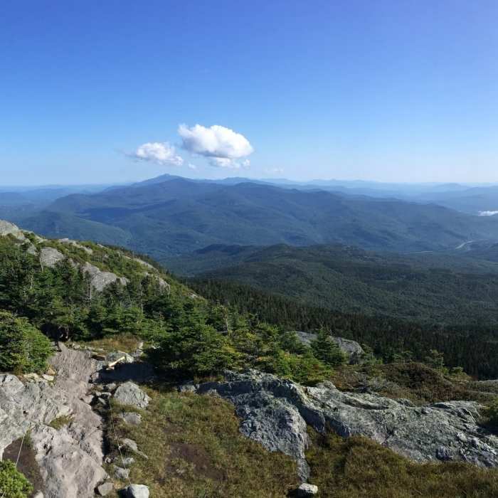
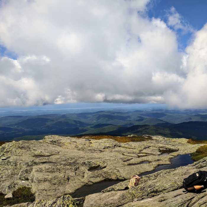
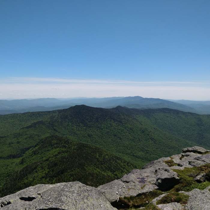
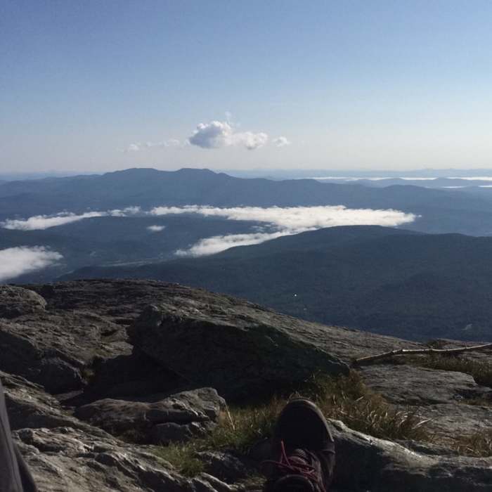
The trail begins its ascent of Camel's Hump false summits. After a few minor peaks, the real climb begins. In the winter, the rime ice covers the blazes on the rocks, making it difficult to find the trail. The trail descends open rock to Bamforth Ridge Shelter. There's limited water along this exposed stretch, so be sure to bring ample water. Bamforth Ridge Shelter is a large shelter with a few tent platforms. It has a large cooking area with 3 bear boxes.
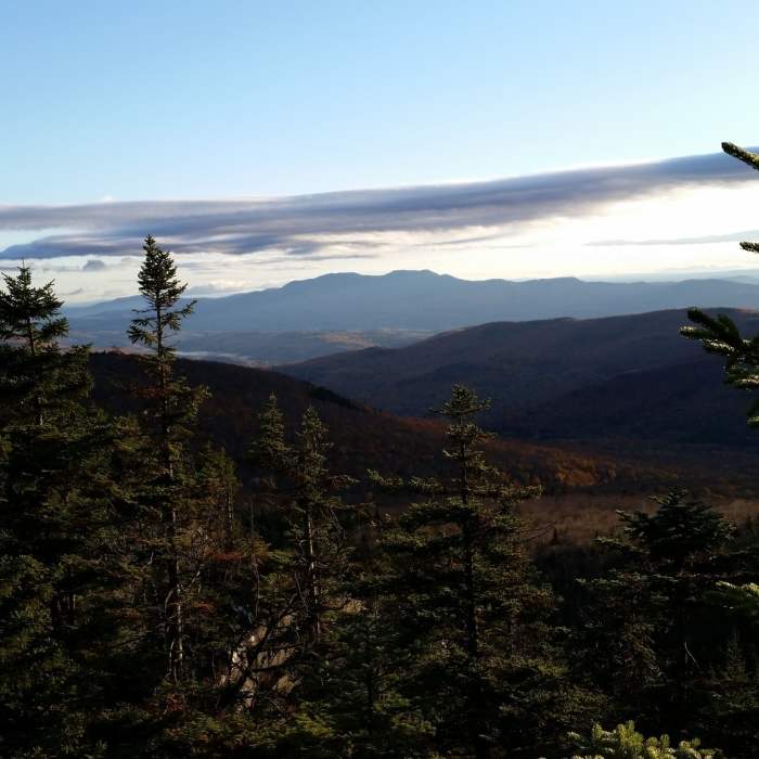
The trail descends down to Duxbury Window, an excellent view framed by tree branches. The trail, also, passes by a few interesting caves along this stretch. It descends to Duxbury Road and turns left. It follows the road and travels along the edge of a few fields. When the trail reaches the stream crossing at Honey Hollow Brook, there's the High Water Bypass option (if the stream is impassible). It follows the edge of another field, before coming out to the road, again. Follow the road, then cross over on the Winooski Footbridge. Originally, the Long Trail continued along Duxbury Road to Jonesville and went up Stage Road. Since the bridge's installation (in 2015), the Long Trail now follows the new route up to Stimson Mountain. It ascends the slopes of Stimson Mountain as passes by Duck Brook Trail, the trail that was the original Long Trail. The trail continues on to Buchanan Shelter. It climbs until it reaches the summit of Bolton Mountain.
No Condition Reports
Contributors

