Near Sugar Island Loop
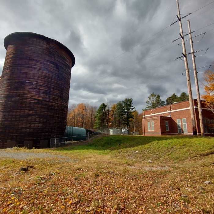
Sugar Island Powerhouse
Near Sugar Island Loop
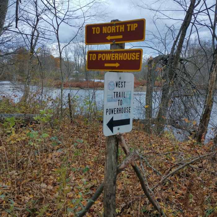
Cutoff trail junction
Near Sugar Island Loop
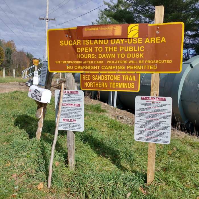
Trailhead - northern terminus

Looking for more photos?

View All Photos
View Map
Driving Directions
Hike Trail

Sugar Island Loop

3.0 (1 Rating)
Loop around Sugar Island best done counterclockwise.
2.8
mi
Distance
30
ft
Gain
moderate
Difficulty
BirdingFall ColorsFishingGeologically SignificantRiver/CreekWildlife

Route Details

Flatter
Steeper
2.85mi
Distance
30ft
Elevation Gain
30ft
Elevation Loss
10%
Max Grade
446ft
High Point
407ft
Low Point
Path Type
Loop
Description
The trail continues north, turning to the right and crossing a stairway over the aqueduct pipeline. The trail on the other side of pipe hugs the shoreline closely as it travels north. After following the penstock (pipeline) that ends at the powerhouse, the trail forks near the entrance to Sugar Island, bearing right, the trail continues on a loop around Sugar Island with an option to take a left for a shorter loop, or continue straight for a longer circumnavigation of the island.

Route Conditions

Report Conditions
No Condition Reports
Report Conditions

Nearby Hike Routes

Stone Valley Recreation Area

Hike Route

Stone Valley Recreation Area

Views
moderate
7.84 mi
+687 ft
Higley Flow

Hike Route

Higley Flow

easy
4.69 mi
+294 ft
Catamount Mountain

Hike Route

Catamount Mountain

easy
2.62 mi
+539 ft
The Pinnacle

Hike Route

The Pinnacle

easy
2.52 mi
+427 ft
Mount Arab Hike

Hike Route

Mount Arab Hike

Fall Colors
moderate
1.97 mi
+740 ft
Floodwood Loop Trail

Hike Route

Floodwood Loop Trail

Birding
moderate
6.34 mi
+252 ft
Contributors
x kegroller
