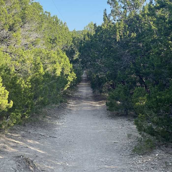
Near Fire Lane Trail
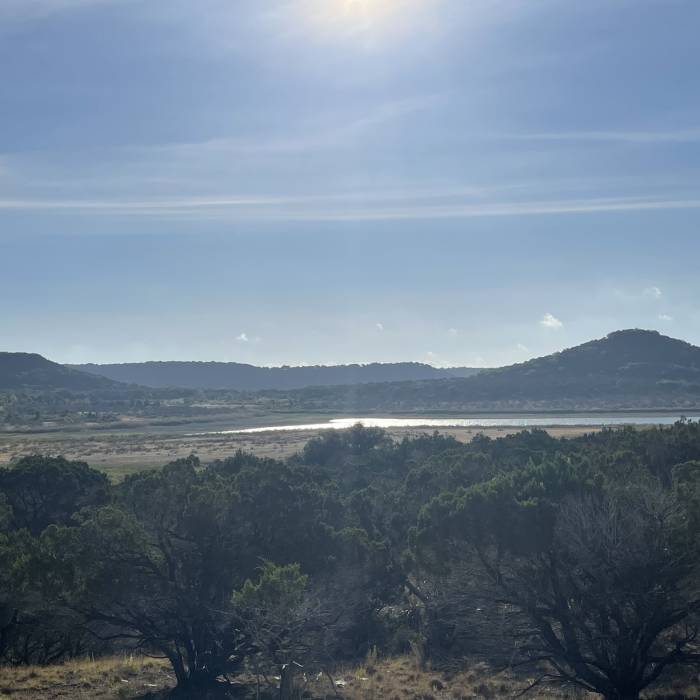
View from Around the Hump.
Near Fire Lane Trail
Dana Peak Trail
Near Fire Lane Trail
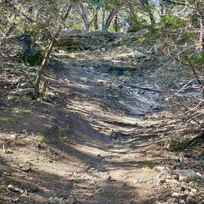
Trail leading to Dana Peak summit
Near Fire Lane Trail
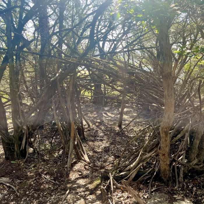
Debris shelter on top of Dana Peak summit
Near Fire Lane Trail
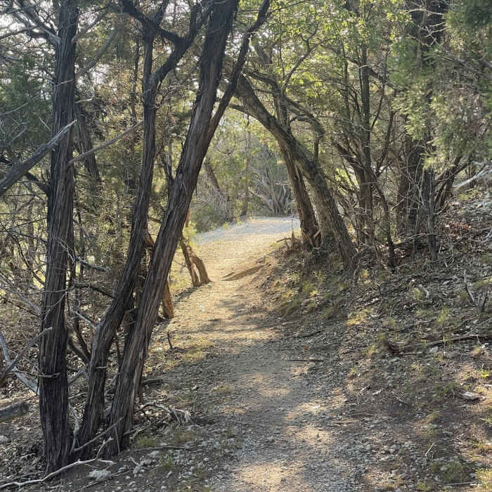
Beginning of Fence Line Trail.

Looking for more photos?

View All Photos
Driving Directions
Hike Trail

Fire Lane Trail

4.0 (2 Ratings)
The main trail at Dana Peak Park.
1.4
mi
Distance
79
ft
Gain
moderate
Difficulty
BirdingLakeSwimmingWildflowersWildlife

Route Details

Flatter
Steeper
1.44mi
Distance
79ft
Elevation Gain
133ft
Elevation Loss
5%
Max Grade
707ft
High Point
621ft
Low Point
Path Type
Point to Point
Description
This is the primary trail at Dana Peak that most of the smaller trails start and/or end on. It's mostly rocky with a few sections of dirt that can get pretty muddy. There is some wildlife you can see along the trail but mostly deer. There is a lost and found box further down the trail, and it ends at a rocky beach.

Route Conditions

Report Conditions
No Condition Reports
Report Conditions

Nearby Hike Routes

North Shore Out-and-Back

Hike Route

North Shore Out-and-Back

Birding
moderate
14.58 mi
+689 ft
Pennybacker Bridge Overlook Trail

Hike Route

Pennybacker Bridge Overlook Trail

Lake
moderate
0.1 mi
+57 ft
River Place Nature Trail

Hike Route

River Place Nature Trail

Birding
strenuous
5.39 mi
+987 ft
Turkey Creek Trail

Hike Route

Turkey Creek Trail

River/Creek
moderate
2.61 mi
+166 ft
Hamilton Greenbelt & Hurst Hollow Preserve

Hike Route

Hamilton Greenbelt & Hurst Hollow Preserve

Birding
moderate
2.81 mi
+261 ft
Wild Basin Outer Loop

Hike Route

Wild Basin Outer Loop

Birding
moderate
1.78 mi
+274 ft
Contributors
Daniel Mendiola
