Near Big Fork Ridge Trail
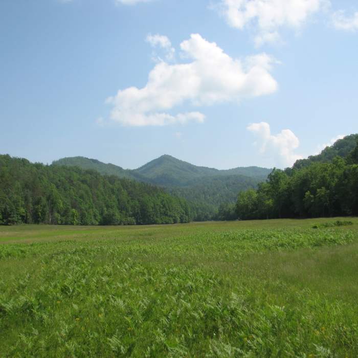
Mountain View Cataloochie Great Smokey National Park 6883
Near Big Fork Ridge Trail
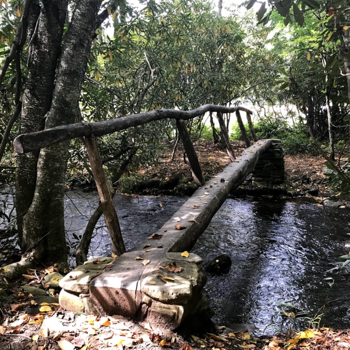
Footbridge at the Big Fork trailhead on Cataloochee Rd.
Near Big Fork Ridge Trail
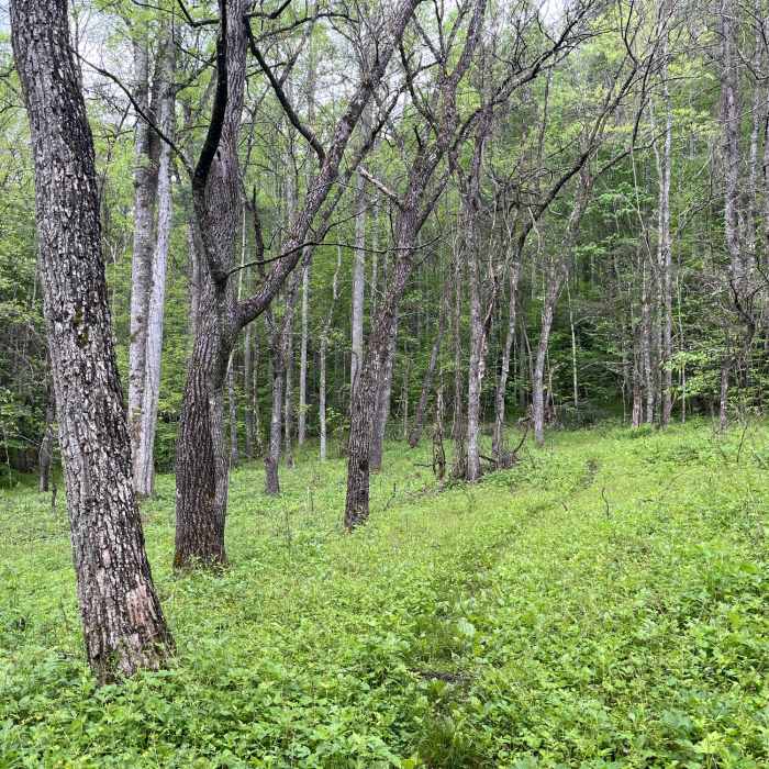
McKee Branch Trail looking upwards near its beginning as it navigates through a meadow between Caldwell Fork and McKee Branch.

Looking for more photos?

View All Photos
Driving Directions
Hike Trail

Big Fork Ridge Trail

3.0 (5 Ratings)
A gentle climb and descent to the Caldwell Fork Trail. This is a horse and hiking trail.
3.1
mi
Distance
852
ft
Gain
moderate
Difficulty
BirdingFall ColorsRiver/CreekWaterfallWildflowersWildlife

Route Details

Flatter
Steeper
3.12mi
Distance
852ft
Elevation Gain
608ft
Elevation Loss
25%
Max Grade
3,646ft
High Point
2,815ft
Low Point
Path Type
Point to Point
Description
There is a place to park across Rough Fork Road from the Big Fork Ridge Trailhead. Drive past Cataloochee Campground to the end of Cataloochee Road, and continue about 3/4 mile on Rough Fork Road and the parking for two or three vehicles is on your right. If you're lucky you'll see turkeys and elk on the way through the valley to the trailhead. At the trailhead you cross Rough Fork on a foot log bridge, and once on the trail you'll pass through an abandoned pasture, and then enter the forest. The trail soon starts its ascent. This initial section has wooden timbers placed across the trail to help with erosion from the rain and horse use. The trail continues up to the top of Big Fork Ridge which is about 2 miles from the trailhead. Along the way, you hear the sound of the Rough Fork, pass by maples, hemlocks, pines, rhododendrons and mountain laurel. The next mile is a steady descent to Caldwell Fork. You'll hear a waterfall below at a rock face on the trail. The thickness of the forest and the steep slope off trail side will prevent you from exploring. There is a long foot log bridge at Caldwell Fork, but Caldwell Fork can be shallow and is easy to cross. Less than a 1/4 mile from Caldwell Fork, the Big Fork Ridge Trail ends at its junction with Caldwell Fork Trail.

Route Conditions

Report Conditions
No Condition Reports
Report Conditions

Nearby Hike Routes

Balsam Crosby Figure 8

Hike Route

Balsam Crosby Figure 8

Geologically Significant
strenuous
38.19 mi
+7,561 ft
Hemphill Bald Loop

Hike Route

Hemphill Bald Loop

Birding
strenuous
13.36 mi
+3,047 ft
Mount Cammerer

Hike Route

Mount Cammerer

Views
extreme
15.9 mi
+3,364 ft
Mount Sterling via Baxter Creek Trail

Hike Route

Mount Sterling via Baxter Creek Trail

Less Crowded
strenuous
6.03 mi
+4,160 ft
Big Creek Trail to Mouse Creek Falls

Hike Route

Big Creek Trail to Mouse Creek Falls

Waterfall
easy
2 mi
+550 ft
Mt. Sterling Loop (Big Creek / Baxter Creek)

Hike Route

Mt. Sterling Loop (Big Creek / Baxter Creek)

Birding
strenuous
16.73 mi
+4,286 ft
Contributors
Todd Baker
