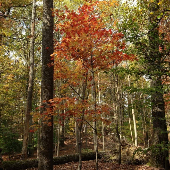
Near Yellow Trail (Saddleback Horse Trail)
Fall colors in Sugarloaf Mountain Natural Area

Looking for more photos?

View All Photos
View Map
Driving Directions
Hike Trail

Yellow Trail (Saddleback Horse Trail)

4.0 (3 Ratings)
The longest single trail around Sugarloaf.
6.7
mi
Distance
775
ft
Gain
moderate
Difficulty
Access Issues
Open daily 8 am to 1 hour before sunset. Open to horse and foot traffic year round. Open to bicycles Memorial Day through Labor Day.

Route Details

Flatter
Steeper
6.69mi
Distance
775ft
Elevation Gain
811ft
Elevation Loss
15%
Max Grade
832ft
High Point
484ft
Low Point
Path Type
Point to Point
Description
If you park down at the circle you'll have to hike up the road before getting on the trail. This the longest single trail around Sugarloaf Mountain. It is easy terrain but watch for horse and bike traffic during the summer. Around the north side of the trail you can extend by going on the Blue Trail (Northern Peaks Trail) or Purple Trail sections before returning to this loop. Utilize the White Trail (Mountain Loop Trail) to connect to the center sections if you want to go to the summit.

Route Conditions

Report Conditions
Anonymous Adventurer
All Clear
Anonymous Adventurer
All Clear
Looking for more condition reports?
View History

Nearby Hike Routes

Sugarloaf Loop

Hike Route

Sugarloaf Loop

Birding
moderate
7.52 mi
+1,779 ft
Sugarloaf Summit

Hike Route

Sugarloaf Summit

Views
moderate
1.12 mi
+300 ft
Timber Ridge/Tobacco Barn to Pine Grove Loop

Hike Route

Timber Ridge/Tobacco Barn to Pine Grove Loop

River/Creek
moderate
5.42 mi
+352 ft
Cool Spring Run to Loops

Hike Route

Cool Spring Run to Loops

Lake
moderate
4.07 mi
+387 ft
Cabin Branch - Hard Rock Loop

Hike Route

Cabin Branch - Hard Rock Loop

Birding
moderate
4.24 mi
+336 ft
Monocacy Battlefield - Thomas Farm

Hike Route

Monocacy Battlefield - Thomas Farm

Birding
easy
2.15 mi
+94 ft
Contributors
Chris Kroehler
