Near Grizzly Bear Trail #3103
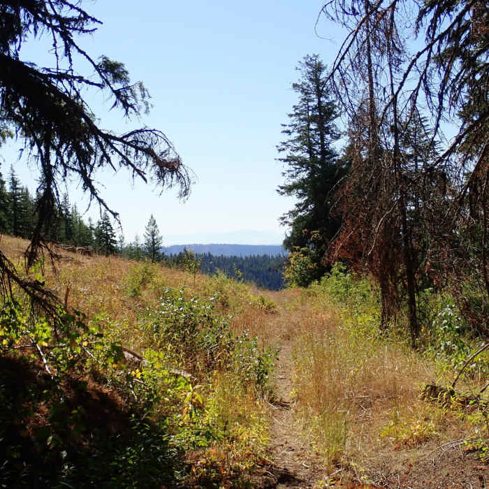
Trail opening up to meadow.
Near Grizzly Bear Trail #3103
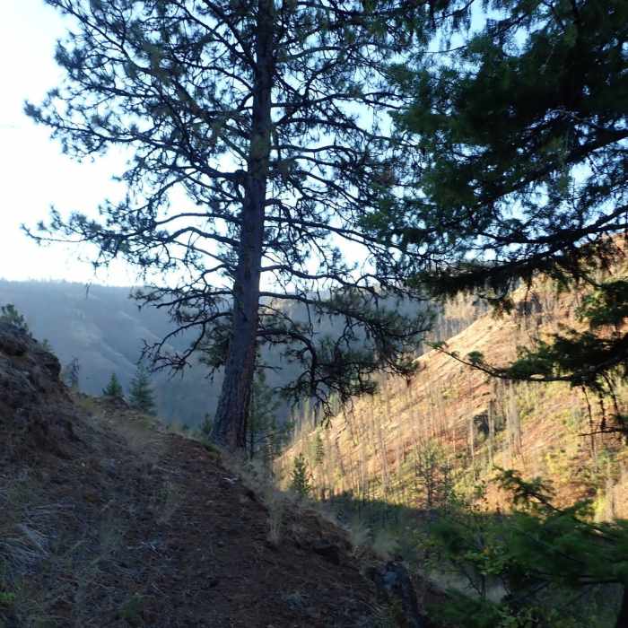
View from the switchbacks towards the end of the trail.
Near Grizzly Bear Trail #3103
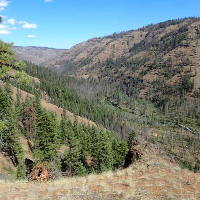
Just before switchbacks begin, looking down on the Wenaha River.

Looking for more photos?

View All Photos
View Map
Driving Directions
Hike Trail

Grizzly Bear Trail #3103

4.0 (1 Rating)
7.7
mi
Distance
425
ft
Gain
strenuous
Difficulty
FishingRiver/CreekViewsWildlife

Route Details

Flatter
Steeper
7.72mi
Distance
425ft
Elevation Gain
3,288ft
Elevation Loss
30%
Max Grade
5,406ft
High Point
2,537ft
Low Point
Path Type
Point to Point
Description
This trail starts from the Twin Buttes trailhead in the Umatilla National Forest and proceeds 9.7 miles to the Wenaha River Trail #3106. From the parking lot where there is a pit toilet and a pay station, the trail begins by following an old logging road, alternating between a wide track and singletrack in places. It then follows Grizzly Bear Ridge out, alternating between woods and open meadow and staying just below the ridge line. It then switchbacks down to the river bottom and runs parallel to Rock Creek before intersecting the Wenaha River Trail. This entire area was burned in the 2015 Grizzly Bear Complex fire and there are lots of standing dead snags with more coming down all the time. The last mile of trail has not seen much maintenance or travel, so head high brush and deadfalls await. Choose camping areas wisely. At the bottom, proceed left and find several campsites. Water can be found in Rock Creek or the Wenaha River though Forest Service map indicates two springs not far off the trail on the way down.

Route Conditions

Report Conditions
No Condition Reports
Report Conditions

Nearby Hike Routes

Table Rock Fire Lookout

Hike Route

Table Rock Fire Lookout

Views
moderate
1.07 mi
+206 ft
Oregon Butte Lookout

Hike Route

Oregon Butte Lookout

Birding
moderate
5.54 mi
+1,563 ft
Asotin Cr., S. Pinkham, N. Pinkham Loop

Hike Route

Asotin Cr., S. Pinkham, N. Pinkham Loop

Fall Colors
strenuous
21.22 mi
+3,137 ft
Buck Mountain Trail - mid trail access

Hike Route

Buck Mountain Trail - mid trail access

Birding
moderate
5.58 mi
+466 ft
Iwetemlaykin State Heritage Site

Hike Route

Iwetemlaykin State Heritage Site

Dogs Allowed
easy
0.66 mi
+44 ft
East Moraine, Wallowa Lake

Hike Route

East Moraine, Wallowa Lake

Lake
easy
0.06 mi
+26 ft
Contributors
Greg Brown
