Ready to explore this trail?
View Trail Map in AppPath Type
Point to Point
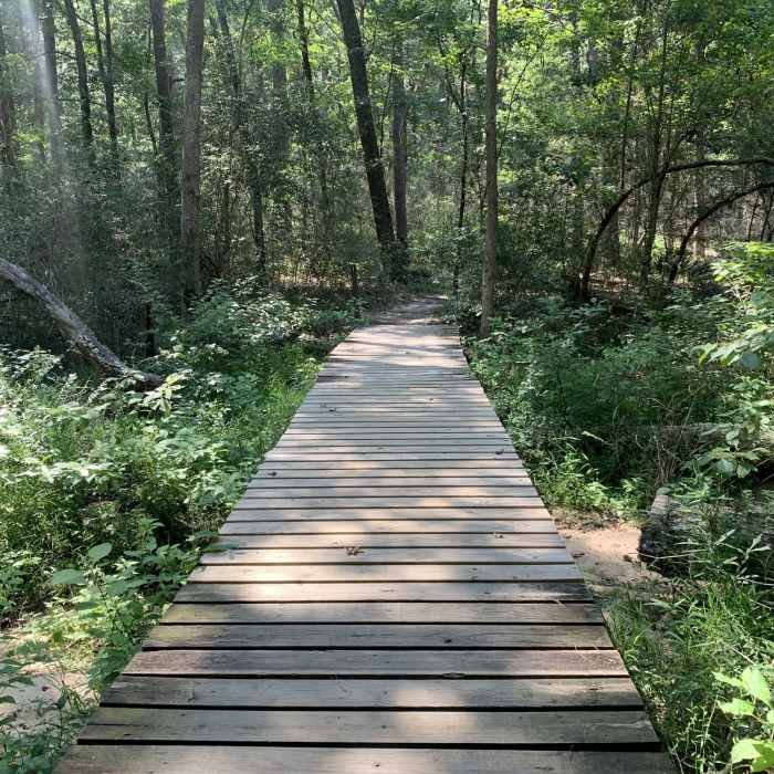
This trail is popular with runners and bikers in addition to hikers. You'll have to take the Chinquapin Trail a short distance to find the start and end of the Triple C Trail. If you follow the trail counter clockwise, as this description does, you'll find the beginning of the Triple C Trail shortly after the boardwalks over Prairie Branch on the Chinquapin Trail in the northern corner of the park.
The trail will head north for a few paces and then turn southwest to follow the fence line of the park. At the western edge of the park, the trail turns due south, still along the fence line. You'll pass the Triple C Cutoff Trail after about 1.6 miles of the Triple C Trail. This path will take you back to the Chinquapin Trail.
In less than a mile, you'll come to Prairie Branch Creek and two small cutoff trails that lead to Chinquapin Trail. The trail then reaches the southern-most point in the park and begins its journey northwest. In about a mile and a half, the trail will join the Chinquapin Trail for a short period before heading along a very long straight section that leads right to a service entrance near I-45.
Continue on the trail as it crosses State Park Road 40 to the northeast corner of the park. It then heads straight southwest until you meet back up with the Chinquapin Trail which you can take back to wherever you chose to park. The distance between the Triple C Trail and the Loblolly Trail is at times very short and there is evidence that people have cut through here. It also appears the road that comprises the Triple C Trail continues southwest after hitting the Chinquapin Trail which can result in some confusion.
No Condition Reports
Contributors

