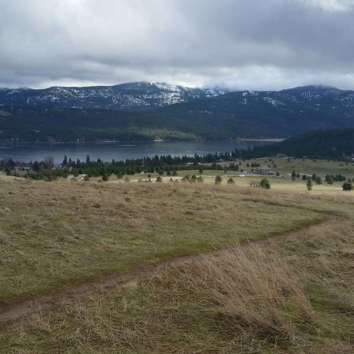
Near Summit Loop
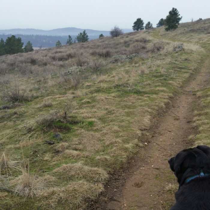
View of the Saltese Flats between a couple of furry ears.
Near Summit Loop
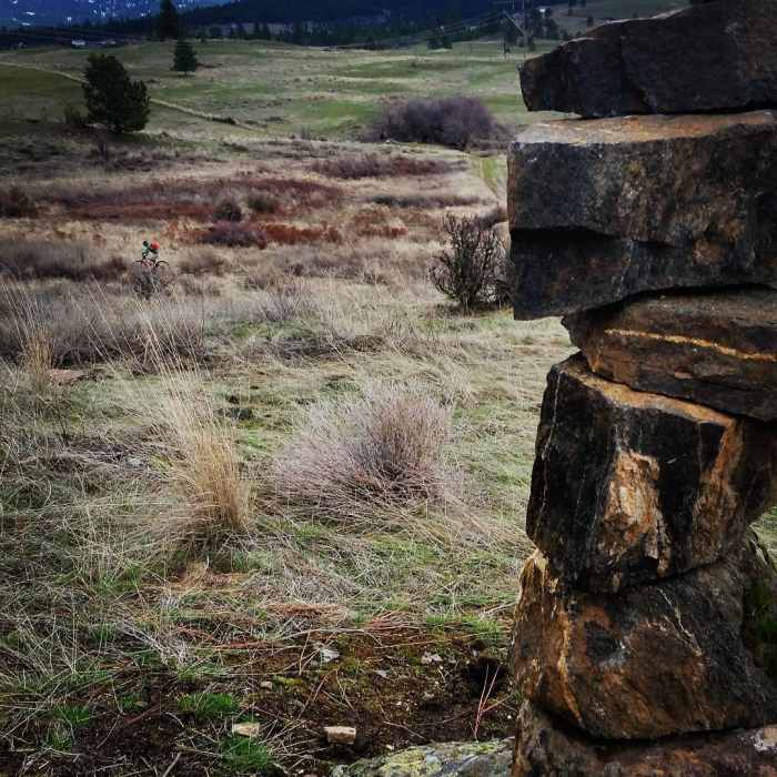
A multiuse trail with beautiful colors, even in winter.
Near Summit Loop
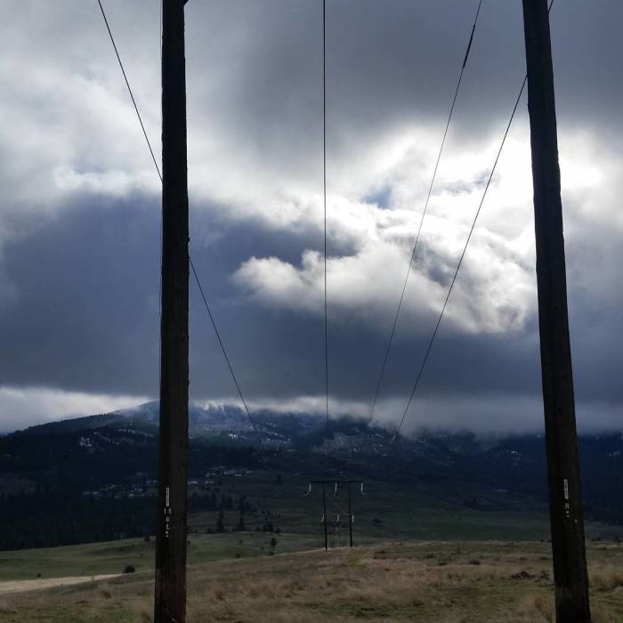
Mica Peak in the clouds
Near Summit Loop
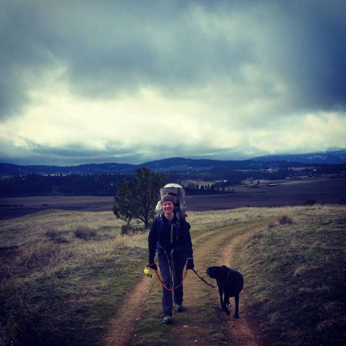
Wintertime hiking.
Near Summit Loop
View of Liberty Lake.

Looking for more photos?

View All Photos
Driving Directions
Hike Trail

Summit Loop

4.3 (3 Ratings)
A mild climb leads to amazing views of the Liberty Lake area and Saltese Flats.
1.8
mi
Distance
296
ft
Gain
moderate
Difficulty
BirdingFall ColorsFamily FriendlyViewsWildflowersWildlife

Route Details

Flatter
Steeper
1.85mi
Distance
296ft
Elevation Gain
270ft
Elevation Loss
15%
Max Grade
2,649ft
High Point
2,350ft
Low Point
Path Type
Point to Point
Description
This trail joins the Uplands Loop in Saltese Uplands about halfway up the main hill. The singletrack trail is narrow but relatively clear of rocks, roots and other debris. It winds upward through a series of switchbacks. A bit windswept, there are almost no trees to impede 360-degree views of the Spokane Valley/Saltese Flats/Liberty Lake area. About a mile of uphill hiking will take you to the water tower which marks the northernmost point of the trail and the point at which it begins to move east and south, back to an intersection with the Uplands Loop. There are several intersections with old maintenance road tracks which are no longer sanctioned trails in the area but the tread on this singletrack trail clearly delineates it from other, lesser used tracks. As hikers move back south and down the hill, the views of the Liberty Lake area and south to Mica Peak continue. This is a beautiful trail very near an urban center and well worth the trip.

Route Conditions

Report Conditions
Anonymous Adventurer
All Clear
Anonymous Adventurer
All Clear
Anonymous Adventurer
All Clear
Anonymous Adventurer
All Clear
Looking for more condition reports?
View History

Nearby Hike Routes

Mica Peak to Liberty Lake: Highline Connector

Hike Route

Mica Peak to Liberty Lake: Highline Connector

Birding
strenuous
10.96 mi
+2,129 ft
Antoine Peak Summit Trail Out & Back

Hike Route

Antoine Peak Summit Trail Out & Back

Birding
moderate
3.53 mi
+731 ft
Antoine's and Canfield summit gulch

Hike Route

Antoine's and Canfield summit gulch

Lake
moderate
9.95 mi
+1,937 ft
Best of the Dishman Hills Natural Area

Hike Route

Best of the Dishman Hills Natural Area

Birding
moderate
4.17 mi
+682 ft
Dishman Hills Loop

Hike Route

Dishman Hills Loop

Dogs Allowed
moderate
2.24 mi
+302 ft
Iller Creek & Rocks Of Sharon Loop

Hike Route

Iller Creek & Rocks Of Sharon Loop

Birding
moderate
4.84 mi
+1,238 ft
Contributors
Carol Christensen
